|
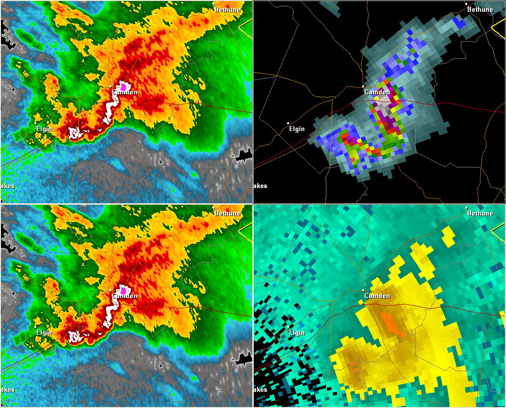
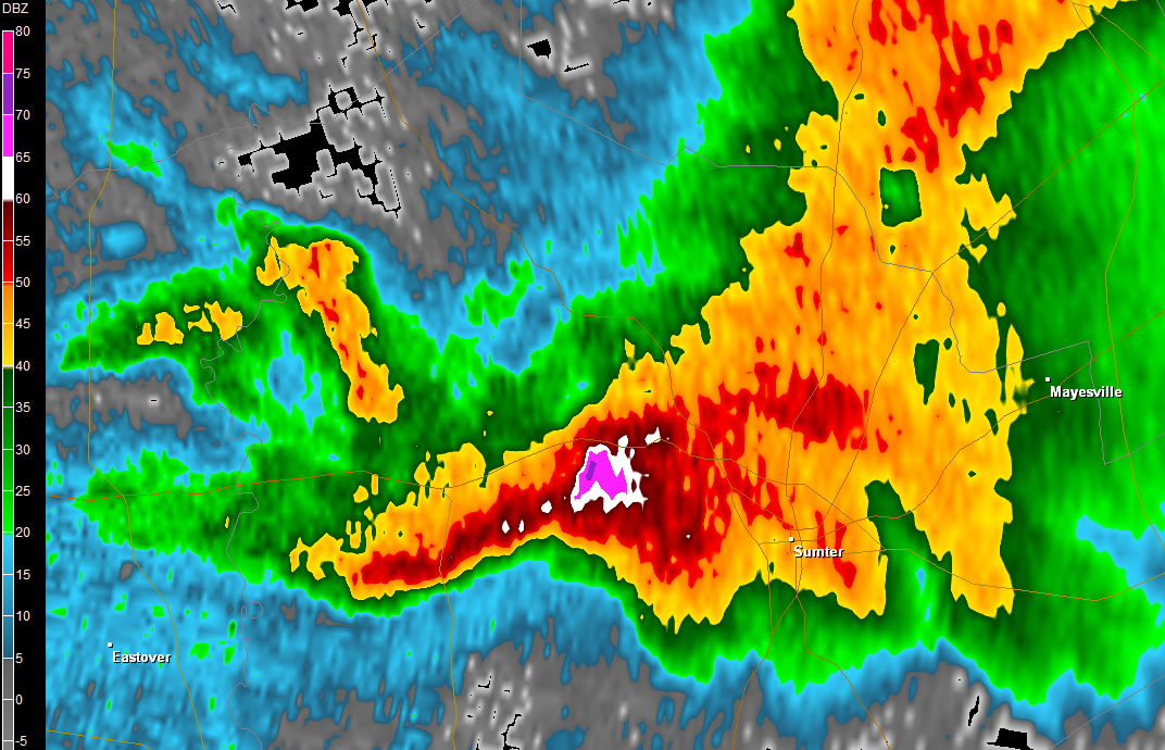
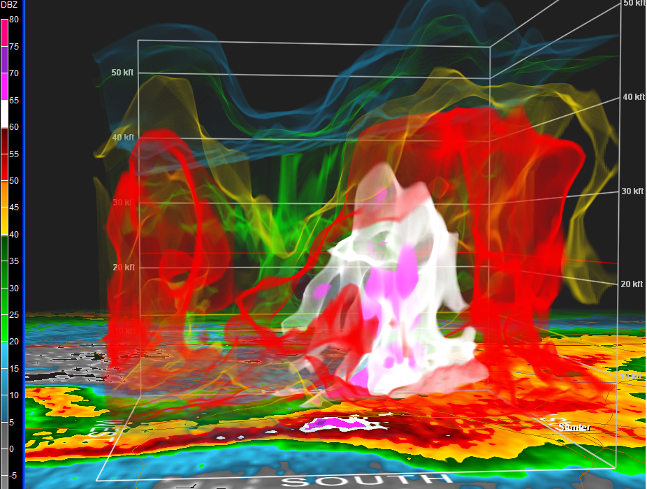
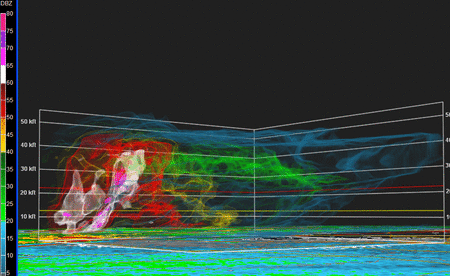
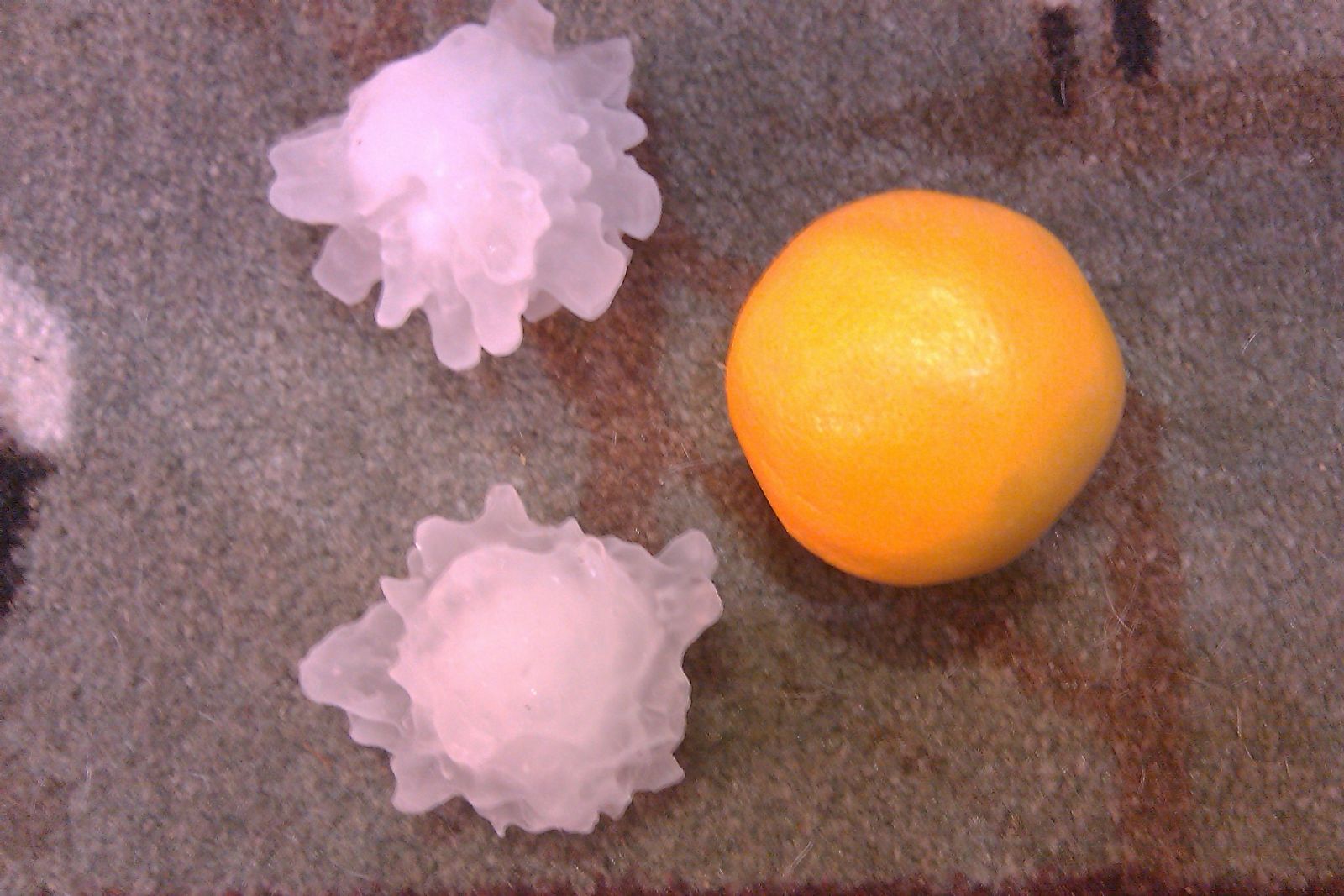
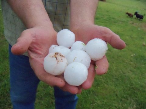
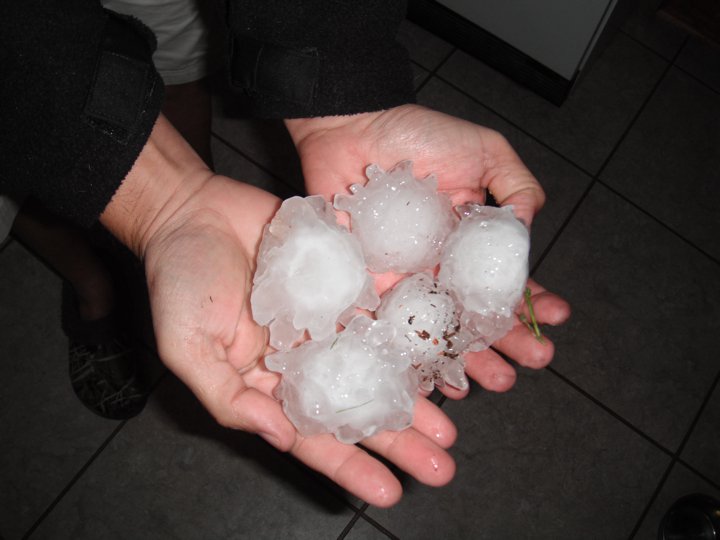
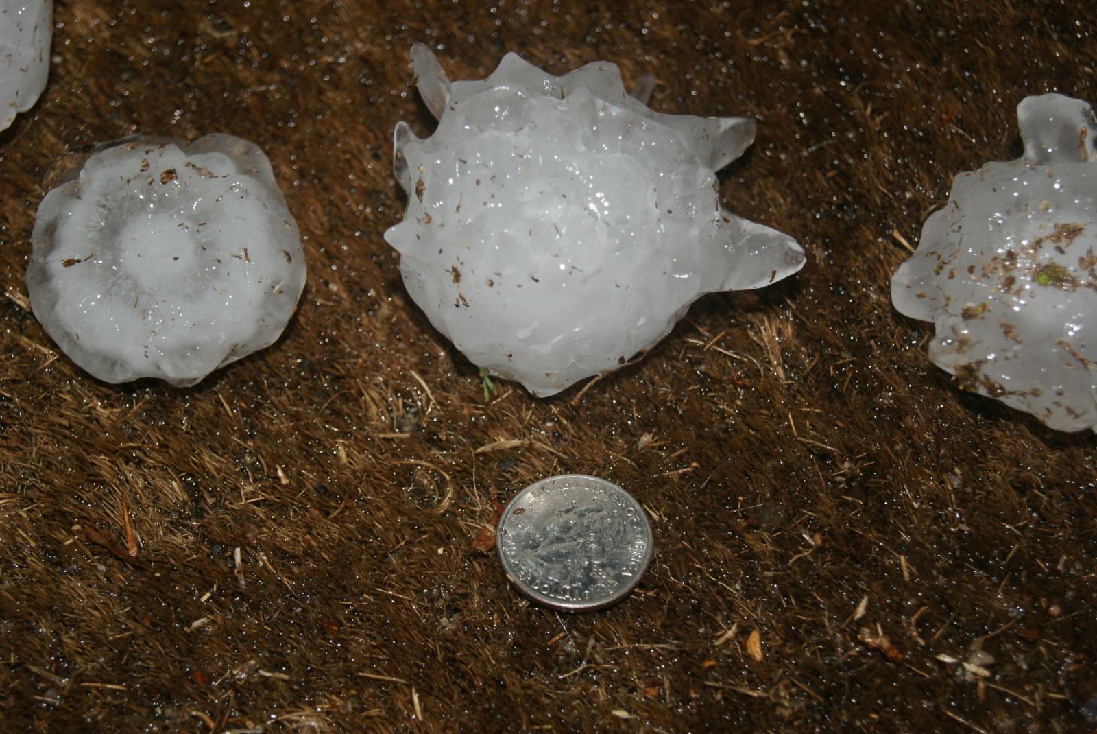
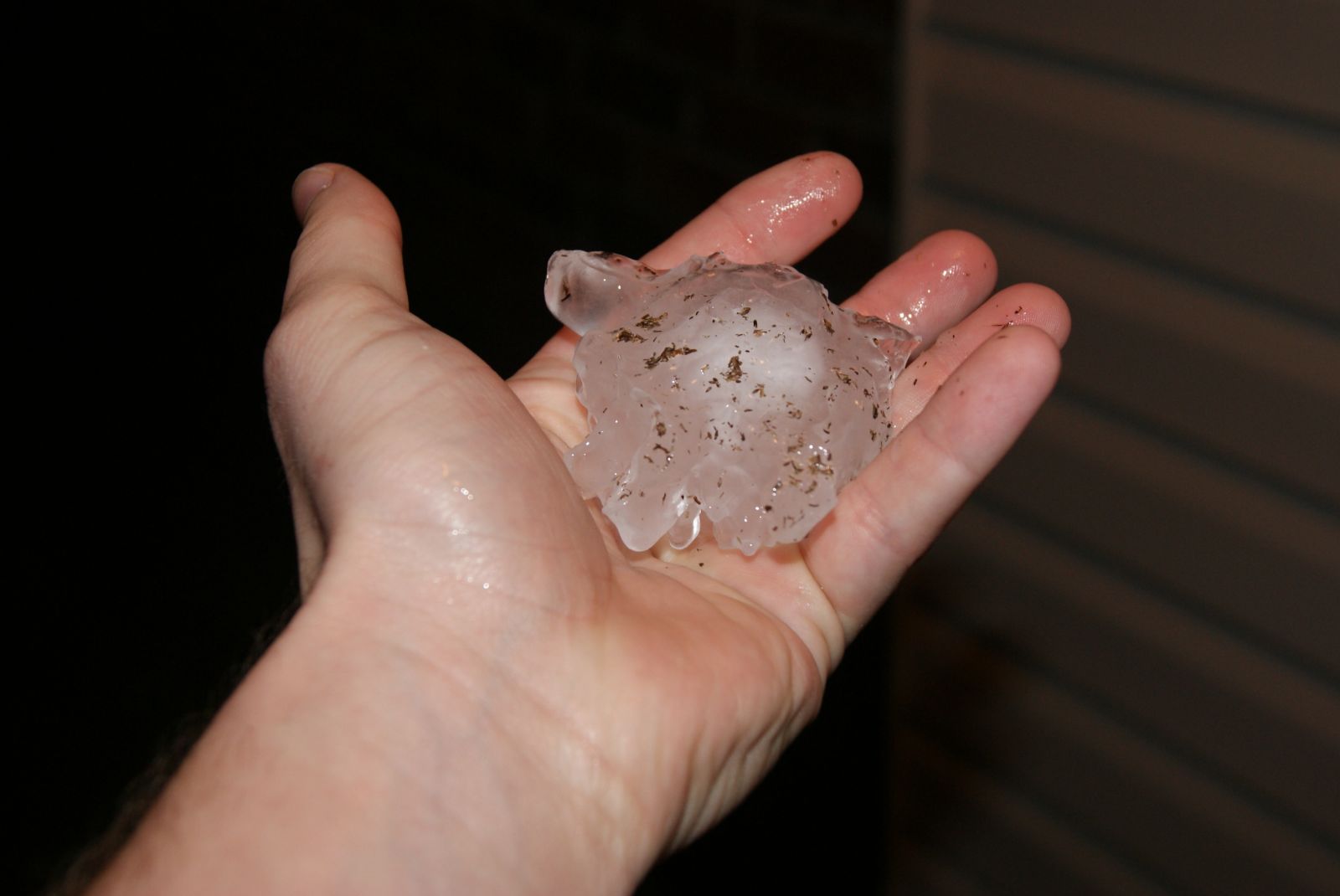
Multiple supercell thunderstorms moved across the Northern and Eastern Midlands during the late afternoon and evening hours on Saturday, April 9, 2011. A stalled frontal boundary extended from near Charlotte southeastward towards the Florence area. The thunderstorms tended to move southeastward and follow along this boundary. The atmosphere was quite unstable and supported continued thunderstorm development into the late evening hours. Numerous reports of large hail were reported to the National Weather Service by law enforcement, trained spotters as well as the public. Multiple storms moved across Lancaster and Chesterfield counties dropping golf ball size hail with some of the larger hailstones measuring the size of baseballs near Lancaster. A few storms moved across Kershaw and Sumter counties also dropping very large hail, up to baseball size near Dalzell. There was considerable damage to vehicles, homes and property included crops. 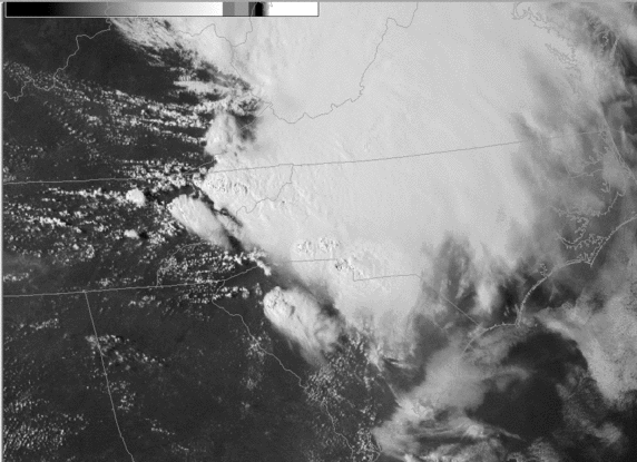 KCAE Radar Imagery
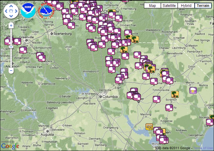
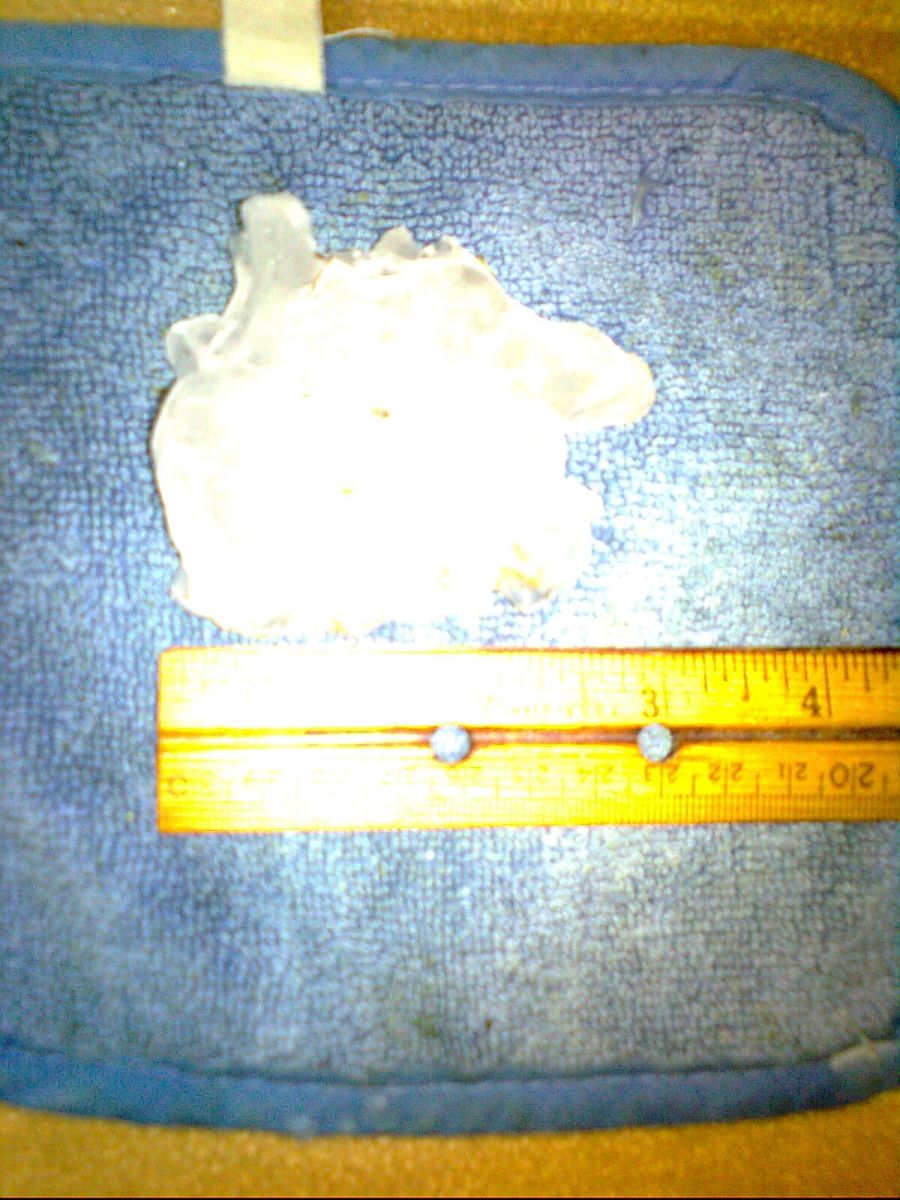
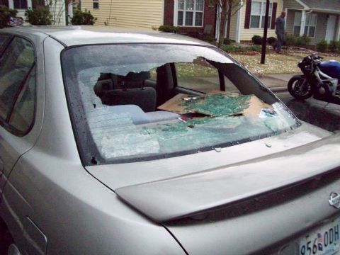
Storm Photos Below are some of the pictures of the large hail. Click on the image to view the full size image.
|