A low pressure center tracking across the Great Lakes and its associated cold front extending across the Southern Plains will focus occasional showers and thunderstorms through tonight. A few of these thunderstorms may become severe alongside heavy rainfall that may cause flash flooding; Portions of the Southern Plains would be the greatest threat for these hazards through tonight. Read More >
Columbia, SC
Weather Forecast Office
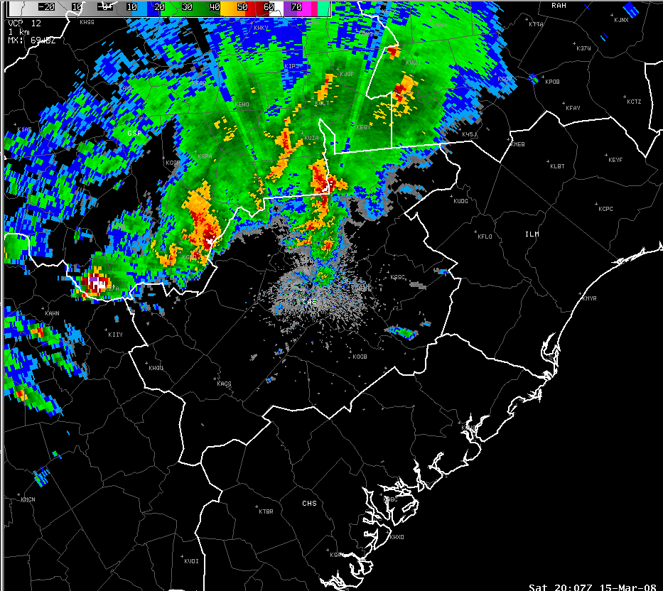
The radar loop may take a few minutes to load as it is a large file(not recommended for dial up internet connections)
|
Hazards
Georgia
South Carolina
National Warnings
Hazardous Outlook
Tropical Weather
Weather Briefing
Provide Storm Reports
Email Alerts
Enhanced Hazardous Weather Outlook
GIS
KML/KMZ Data
Shapefile Data
Current Conditions
Observations
Satellite Images
Five Points
River and Lake Levels
River and Lake NWPS
Coop Reports
Lake Observations
Met Calculator
Mesonet Data
Radar
Columbia Radar
Nationwide
Charlotte TDWR
Forecasts
Winter
Activity Planner
Graphic Forecasts
Text Products
Aviation
Marine
Fire Weather
Air Quality
Forecast Discussion
RSS/XML
Experimental FRET
Hydrology
SC Streamflow
GA Streamflow
Drought Info
River and Lakes NWPS
Climate
Climate Plots
National
Local Climo
CoCoRaHs
Weather History Calendar
SERCC
NCEI
US Dept of Commerce
National Oceanic and Atmospheric Administration
National Weather Service
Columbia, SC
2909 Aviation Way
West Columbia, SC 29170-2102
(803) 822-8135
Comments? Questions? Please Contact Us.