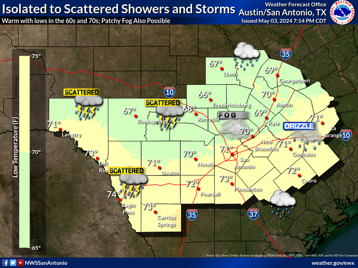
Warm and humid tonight with overnight lows in the upper 60s to the low to mid 70s. The winds stay on the breezy side through the night as well. There will be a slight chance for rain showers or storms after 3 AM across central portions of the region.
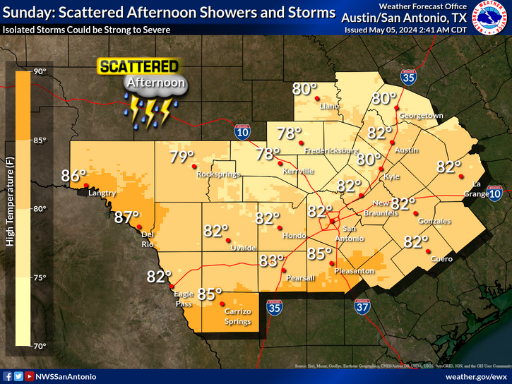
Showers and storms are forecast Saturday night into Sunday morning. Scattered storms
could become severe during this time, mainly across the Hill Country, southern Edwards
Plateau and Rio Grande. Threats include very large hail, damaging wind gusts, and an isolated tornado or two. Details and timing will be refined over the next 48 hours. Stay weather aware with the many outdoor events taking place this weekend.
Warm, humid, and breezy conditions are forecast into next week. Slight chances for showers and isolated storms are forecast across portions of the Hill Country and along and east of the I-35 corridor on Friday. Better chances for showers and storms are forecast late Saturday night through Sunday, including potential for severe storms. Scattered rain and storm chances continue into early next week.


 Austin/San Antonio Radar
 Weather Map
 Satellite Imagery
 Del Rio Radar
 Digital Forecast Map
 Tropical Outlook
 Drought Status
 Air Quality
 Fire Weather Forecasts
 Observed Rainfall
 Observed Temperatures
 Daily Climate Graphs
 Follow us on YouTube