NWS All NOAA
San Angelo, TX
Weather Forecast Office
Last Map Update: Fri, Jul 26, 2024 at 8:54:28 pm CDT


 Virtual Tour
 Current Observations
 Weather Briefing
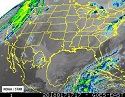 Satellite Loops
 Past Weather Reports
 Past Rainfall Maps
 Climate And Drought
 River & Lake Levels
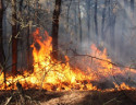 Fire Weather
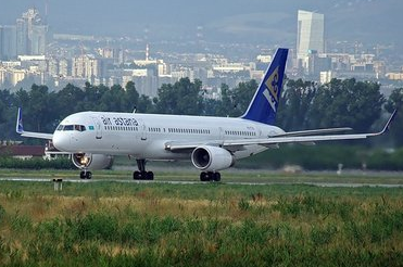 Aviation Weather
 Additional Resources
 Social Media