 |
|||||||
|
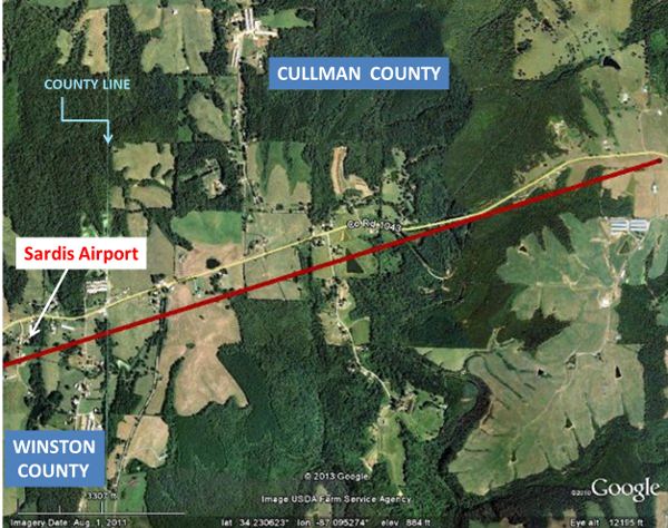
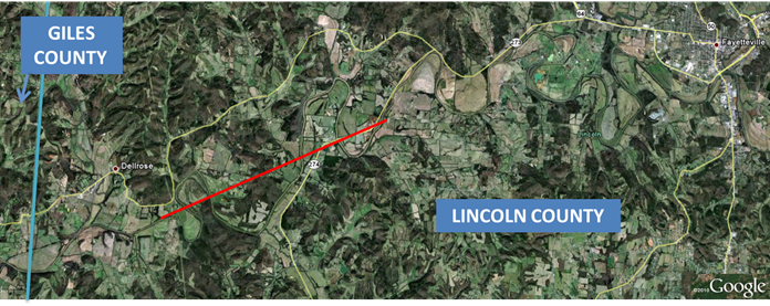
Click HERE for more details about the severe weather reports received above. Details about the Cullman Co. and Lincoln Co. tornado tracks and rainfall amounts follow: |
|||||||
|
|||||||
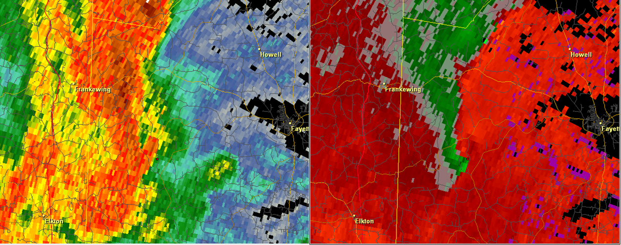
| For more information from the WFO in Birmingham about this track, click here. | |||||||
|
|||||||
  |
|||||||
|
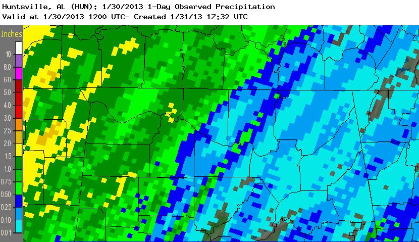
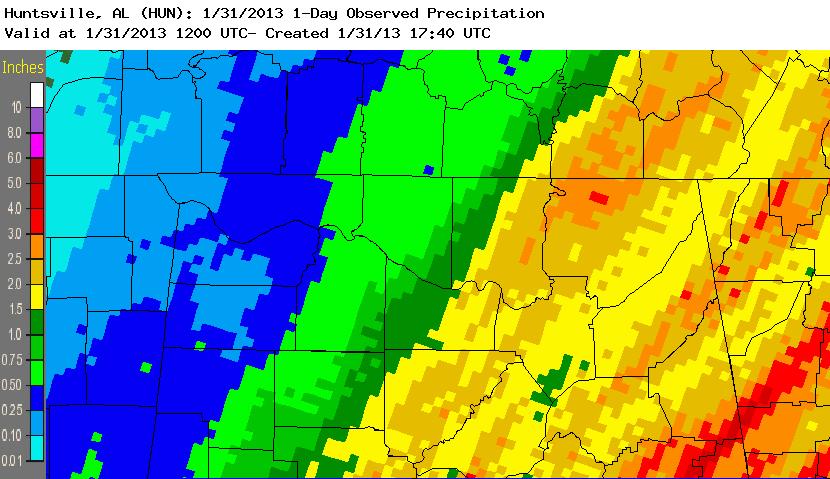
Heavy rainfall also fell across the forecast area. This heavy rainfall began as a line of strong to severe storms, developing along a pre-frontal trough axis and pushing into northwestern Alabama around 3 am on Wednesday. One to two inches of rainfall were common as this line pushed east across northwestern Alabama by daybreak on Wednesday. At this time, the line was also producing fairly widespread damaging winds in northwestern Alabama. Rainfall totals between 7 am on Tuesday and 7 am on Wednesday are shown in the image above on the left. Some intense rainfall rates occurred just before and up to 7 am on Wednesday in Huntsville and in northwestern Cullman County. This can also be seen as the narrow band of higher rainfall amounts in the image above on the left. The pre-frontal trough axis significantly slowed its eastward progression from the mid-morning hours into the early afternoon as it pushed across and east of interstate 65. This slower progression combined with the re-organizing line of strong to severe storms produced heavier rainfall totals in many locations, primarily east of interstate 65, from 7 am on Wednesday through 7 am on Thursday (The majority of this rain fell through the afternoon hours on Wednesday). Some locations in eastern Madison, Jackson, eastern DeKalb, and Cullman counties received an additional 2 to 4 inches of rainfall. This can be seen in the image above on the right. |


 Local Radar
 Weather Map