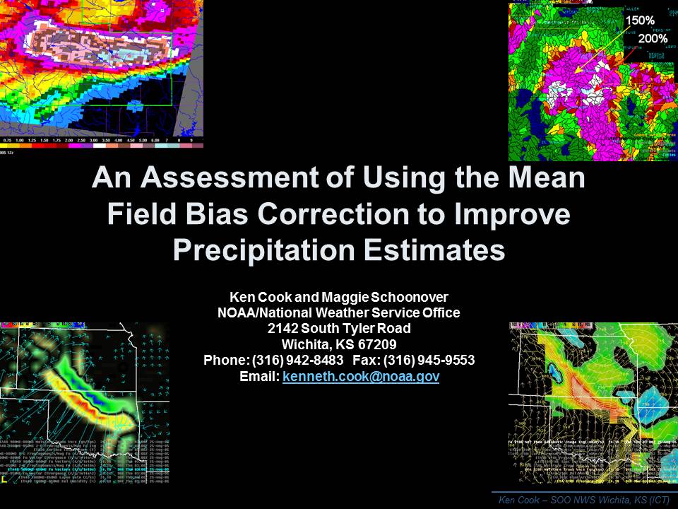
An Assessment of Using the Mean Field Bias Correction to Improve
Precipitation Estimates
Kenneth R. Cook and Maggie Schoonover
National Weather Service, Wichita Kansas
September 08, 2006
Abstract
Ascertaining the real-time accuracy of precipitation estimates by the WSR-88D has always been a challenge for the forecaster. This challenge affects customer service, warning decisions, and public safety. To improve these estimates, technological evolution has brought changes to the precipitation processing system algorithm, Z/R relationships, and statistical correction techniques (Hunter, 1996).
The concept of statistical correction techniques, more specifically correcting precipitation estimates through use of real-time gauge observations, is not new. Several have originated from as far back as the 1970s (Hunter, 1996). More recently, the concept was brought to fruition by the National Weather Service's Hydrology Laboratory.
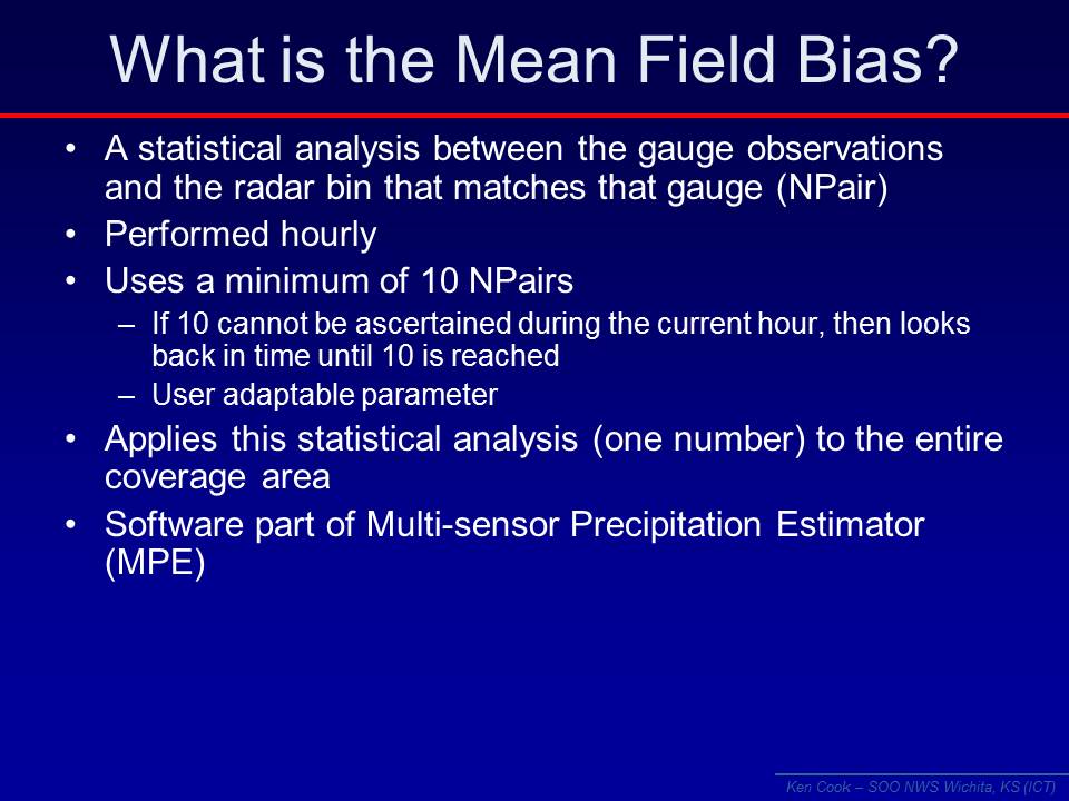
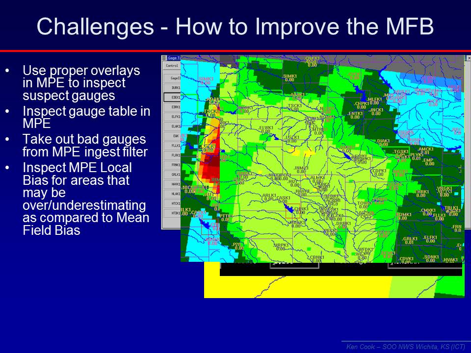
Software contained within the weather forecast office hydrologic forecast system computes a real-time bias comparing WSR-88D precipitation estimates with rain gage observations. This comparison, known as the mean field bias, is made for the entire radar coverage area and applied at the radar product generator for operational utilization (Fulton and Kondragunta, 2002).
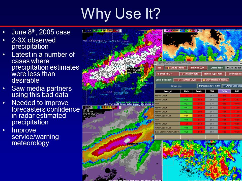
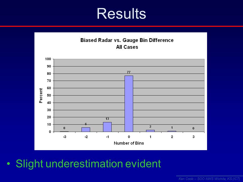
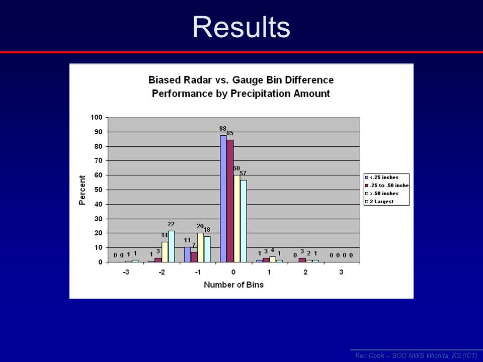
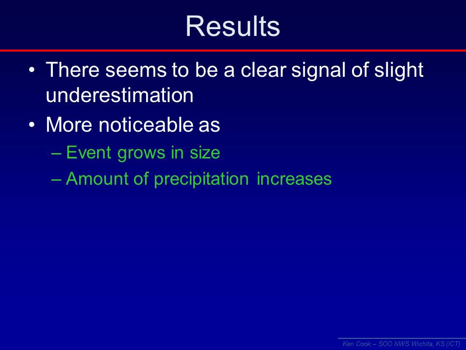
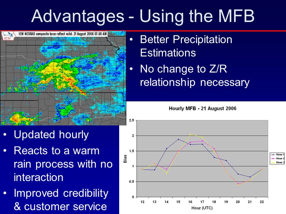
In June of 2005, the Weather Forecast Office in Wichita began the utilization of the mean field bias to enhance the precipitation estimation products used by the forecasters. The improvement was immediate, however subsequent case studies documented challenges that remained. To improve performance, use, and credibility of this technique, an examination of the mean field bias for rainfall cases from the 2006 convective season (March through June) was performed.
The results from this examination including case examples will be presented. The process by which to apply the mean field bias, its advantages, disadvantages, and associated challenges will also be clearly illustrated. Use of this technique, when utilized properly, will improve the accuracy of the precipitation estimates used by operational forecasters, NWS customers, and should ultimately improve the credibility of the radar-estimated precipitation.
The following images are from a Powerpoint Presentation made at the 10th Annual High Plains Conference, Dodge City, Kansas.
 |
 |
 |
||
 |
 |
 |
||
 |
 |
 |
||
 |
 |
 |
||
 |
 |
 |
||
 |
||||

