National Weather Service United States Department of Commerce
Click a location below for detailed forecast.

Last Map Update: Mon, Dec 1, 2025 at 2:46:19 am CST

Showers and maybe a rumble of thunder or two will lead to a major cool down Tuesday and Tuesday night. Clouds increase late Wednesday and rain chances again increase going into the end of the new workweek.
Two rounds of rain will impact the area over the next few days. The first round will occur Sunday morning as a cold front moves into the area and stalls along the coast. Rain chances will be highest west of I-55 where a line of showers will be most intense. The line will weaken as it moves to the south and east Sunday afternoon. After a brief lull in activity Sunday night into Monday morning, a strong low pressure system will bring a period of more widespread and heavier rainfall to the entire region Monday afternoon into Monday night. Some isolated flash flooding could occur with this heavier rainfall. Remember to use caution if you are planning to travel Monday night as flooding is harder to see at night. Stay weather aware for more updates.
Reasonable worst case temperatures could fall as low as 23F in McComb early Wednesday morning, will generally be below freezing as far south as the I-10/12 corridor, and near freezing south of I-10/12.


CoCoRaHS
CoCoRaHS - Click for more information
Submit
Storm Report

Submit a Storm Report

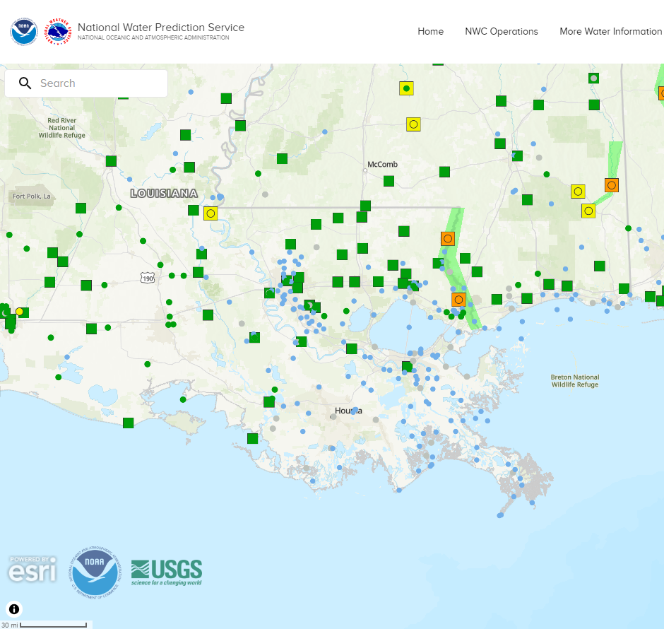
River Stages
Latest River Stages


Quick Access to Text Products


 Current Weather Observations...
Location Time
(CST)
Weather Vsby.
(SM)
Temp.
(ºF)
Dewpt.
(ºF)
Hum.
(%)
Wind
(mph)
Wind Chill / Heat Index
(ºF)
Pres.
(in)
Baton Rouge LA01:53Overcast10464388NNE 742 [WC]30.22
Biloxi MS01:55Overcast10514888NNE 12-30.17
Gulfport MS01:53Overcast10514889N 15G22-30.20
Hammond LA02:35Overcast10484794NNE 944 [WC]30.20
Houma LA02:35Overcast7535192N 12-30.18
McComb MS01:53Overcast10443982VRB 740 [WC]30.22
New Orleans LA01:53Overcast10545086N 13G20-30.19
Slidell La01:53Overcast10514889NNE 14G23-30.20