National Weather Service United States Department of Commerce
Click a location below for detailed forecast.

Last Map Update: Sun, Nov 30, 2025 at 9:52:17 am CST

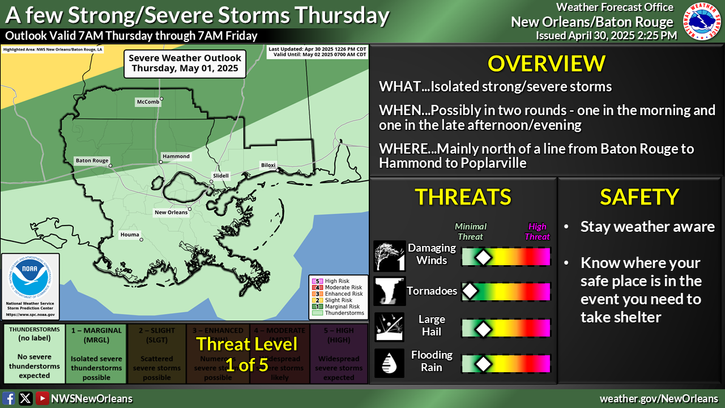
Two rounds of rain will impact the area over the next few days. The first round will occur Sunday morning as a cold front moves into the area and stalls along the coast. Rain chances will be highest west of I-55 where a line of showers will be most intense. The line will weaken as it moves to the south and east Sunday afternoon. After a brief lull in activity Sunday night into Monday morning, a strong low pressure system will bring a period of more widespread and heavier rainfall to the entire region Monday afternoon into Monday night. Some isolated flash flooding could occur with this heavier rainfall. Remember to use caution if you are planning to travel Monday night as flooding is harder to see at night. Stay weather aware for more updates.


CoCoRaHS
CoCoRaHS - Click for more information
Submit
Storm Report

Submit a Storm Report

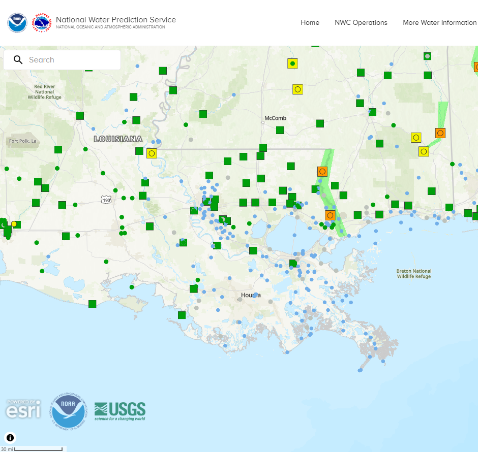
River Stages
Latest River Stages


Quick Access to Text Products


 Current Weather Observations...
Location Time
(CST)
Weather Vsby.
(SM)
Temp.
(ºF)
Dewpt.
(ºF)
Hum.
(%)
Wind
(mph)
Wind Chill / Heat Index
(ºF)
Pres.
(in)
Baton Rouge LA08:53Light Rain \ Mist55959100ENE 5-30.19
Biloxi MS08:55Mostly Clear10645471E 6-30.14
Gulfport MS08:53Mostly Cloudy10645469E 5-30.17
Hammond LA09:35Light Drizzle10605998N 6-30.22
Houma LA08:47Clear7666082E 5-30.16
McComb MS09:20Rain \ Mist5565596N 10-30.23
New Orleans LA08:53Mostly Cloudy10666081VRB 5-30.17
Slidell La08:53Partly Cloudy10625680CALM-30.17