National Weather Service United States Department of Commerce
Click a location below for detailed forecast.

Last Map Update: Fri, Apr. 26, 2024 at 3:36:00 am CDT
National Weather Service Pueblo, CONational Weather Service Amarillo, TXNational Weather Service Norman, OK
National Weather Service Albuquerque, NMZoom
Out

National Weather Service Fort Worth/Dallas, TX
National Weather Service El Paso, TXNational Weather Service Midland/OdessaNational Weather Service San Angelo, TX

Regional Doppler radar imagery.
A Severe Thunderstorm Watch is in effect until 4 AM for most of the Rolling Plains and southern portions of the South Plains. Primary hazards will be hail up to baseball size and wind gusts to 75 mph, although a tornado or two is also possible.
The primary hazards associated with storms tonight will be very large hail around baseball size, damaging winds in excess of 70 mph, and the possibility of a tornado or two.
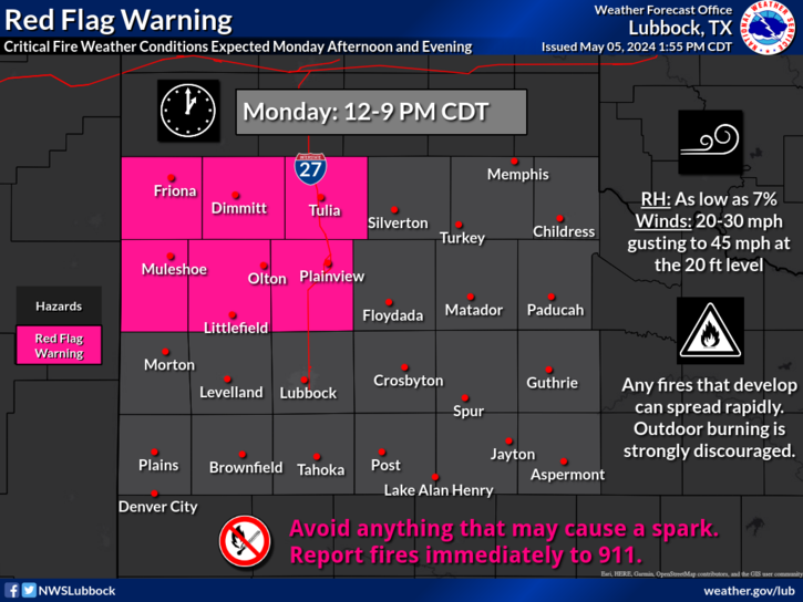
Chances for strong to severe thunderstorms are possible tonight (Thursday) and Saturday for areas east of the I-27 corridor. While to the west of the I-27 corridor can expect to see dry and breezy conditions. As we head into next week expect pleasant weather to prevail with mild temperatures and clear skies.


Local Weather History For April 26th...
1998: Widely-scattered supercell thunderstorms developed throughout the region by early this afternoon. One storm tracked
across Parmer and Castro Counties dropping hail up to two inches in diameter and also producing a brief tornado east of
Hart causing $5,000 in property damage. Unfortunately, lightning from a second supercell storm claimed the life of a 37
year-old male farmer south of Hale Center in Hale County. This latter supercell also produced a strong two-minute tornado
just north of Hale Center that inflicted over $100,000 in damages to structures alone. Two people in this tornados path
narrowly escaped injury by seeking shelter in a small interior closet just moments before their ranch-style home was
destroyed. This same tornado also heavily damaged a vacant house