
A strong atmospheric river will continue heavy rain over southern California through Friday. The heaviest rainfall is ongoing today in the Los Angeles Basin. Flash and urban flooding is possible. A prolonged heavy snowfall has begun over the Sierra Nevada Mountains and will continue through Friday. Travel will become increasingly difficult over the passes due to snow and strong winds. Read More >
Last Map Update: Wed, Dec 24, 2025 at 8:30:11 am PST

|
Text Product Selector (Selected product opens in current window)
|
|


 San Francisco Radar
 Sacramento Radar
 Satellite
 Weather Map
 Local Graphical Forecast
 U.S. Graphical Forecasts
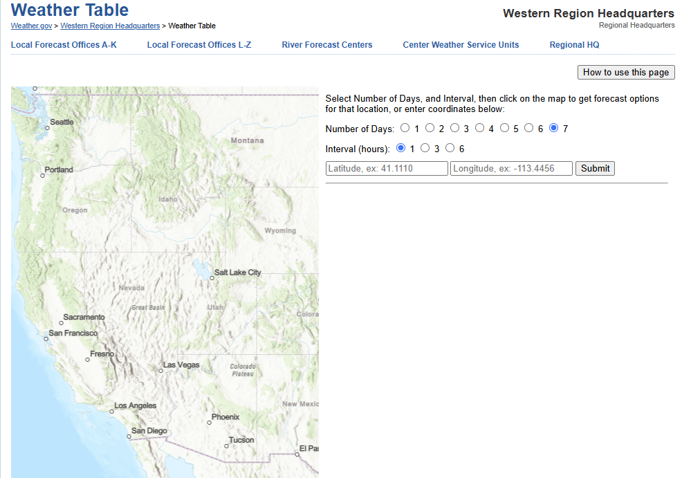 Forecast Weather Tables
 Recent MTR Temperatures
 Fire Weather
 Probabilistic Snowfall Forecasts
 Heat Risk Link