
Two storm systems will track through the central and eastern U.S. today through this weekend with areas of gusty winds, rain and heavy snow. Severe thunderstorms and heavy to excessive rainfall is forecast today from the Lower Mississippi River Valley to the Tennessee Valley. Damaging winds, a few tornadoes, and areas of flooding are possible. Read More >
Last Map Update: Fri, Jan 9, 2026 at 4:38:34 am PST

|
Text Product Selector (Selected product opens in current window)
|
|


 San Francisco Radar
 Sacramento Radar
 Satellite
 Weather Map
 Local Graphical Forecast
 U.S. Graphical Forecasts
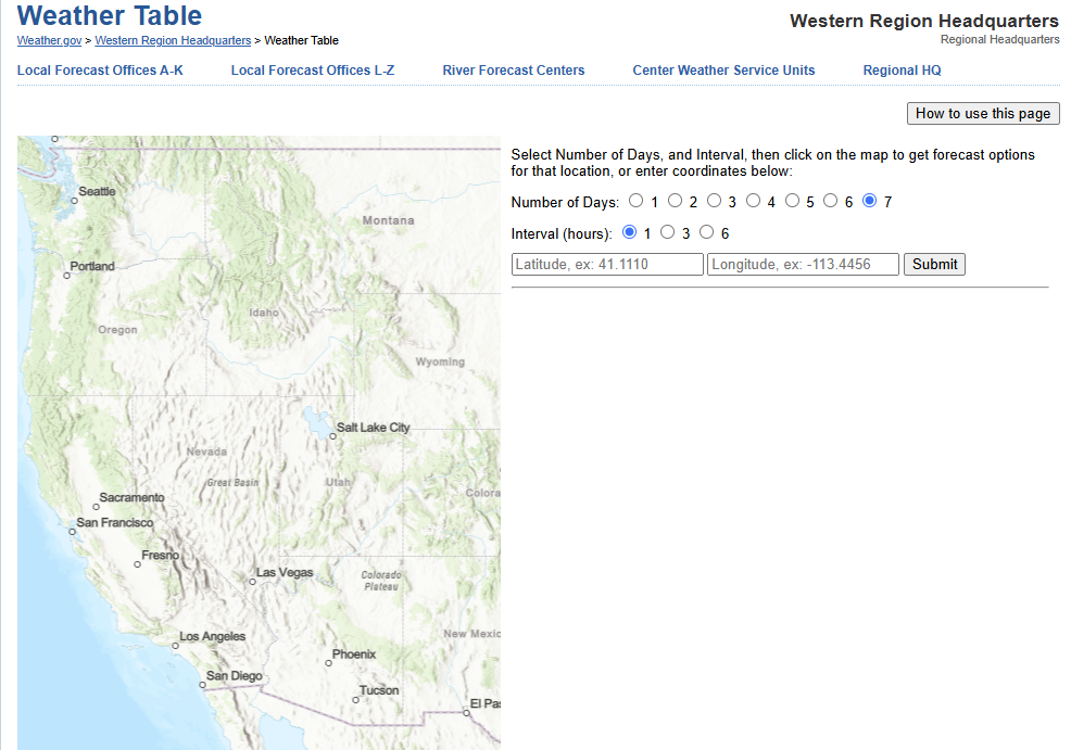 Forecast Weather Tables
 Recent MTR Temperatures
 Fire Weather
 Probabilistic Snowfall Forecasts
 Heat Risk Link