
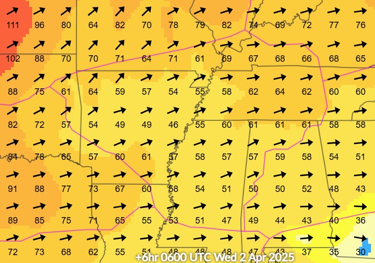
Scattered areas of heavy rain continue to produce isolated flash flooding across the Florida peninsula. Anomalous moisture will combine with a cold front and will bring heavy rain and scattered flash flooding across the Mid-South, Ohio and Tennessee Valleys today and Tuesday. Above average temperatures will continue to be found ahead of the cold front from the Midwest to the Northeast. Read More >
Memphis
Center Weather Service Unit
 |
AREA 1 |
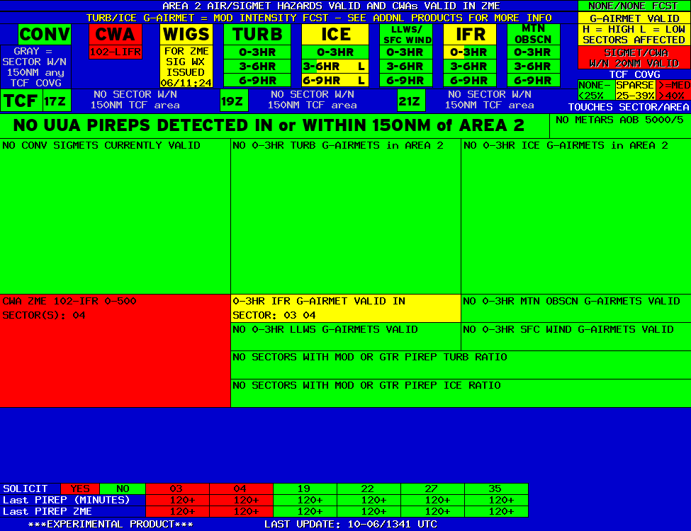
AREA 2 |
AREA 3 |
AREA 4 |
AREA 5 |
AREA 6 |
|
|
|
|
|
 |
 |
 |

|
|
|
|
|
|
 |
 |
 |

|
|
Lo Sectors Hi Sectors UH Sectors TRACONs Icing: Lo Sectors Hi Sectors UH Sectors TRACONs CIG/VIS: METARs By Sector TRACONs PIREPs: |
|
Plotted Pireps are updated every 5 minutes, for all flight levels and include Pireps from 2 hours previous.
Click on the PIREP icons to get more information.
The map is displaying PIREPs using the following icons:
|
|
|
|
|
US Dept of Commerce
National Oceanic and Atmospheric Administration
National Weather Service
Memphis
3229 Democrat Road
Memphis, TN 38118
Comments? Questions? Please Contact Us.


