National Weather Service United States Department of Commerce

Heat Wave Expands to the East Coast; Flash Flooding Likely in the Central Plains into the Midwest; Severe Thunderstorms in the Northeast

Dangerous, prolonged heat is ongoing in the Mid-South to Mid-Mississippi Valley and heat expands into the Northeast for a brief period today. Widely scattered instances of flash flooding due to heavy rains are forecast from northeast Kansas to much of Indiana. Scattered strong to severe thunderstorms are possible across parts of New England, northern Mid-Atlantic, and North Dakota. Read More >


Main Page Storm Surveys RADAR IMAGERY Storm Data Storm Images


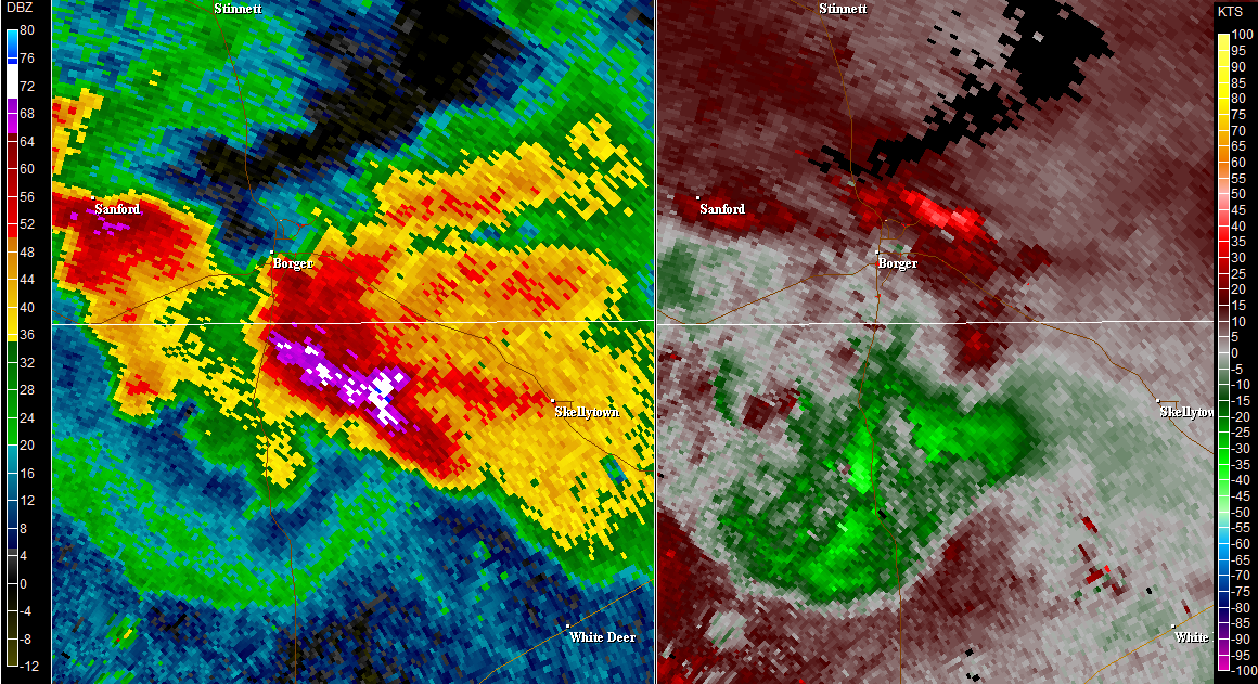
KAMA radar imagery KAMA radar imagery
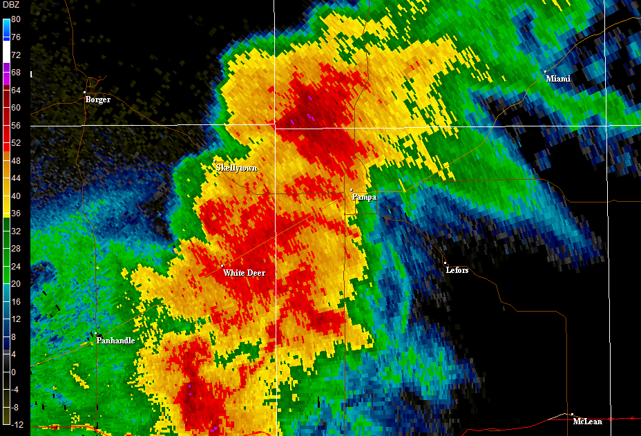
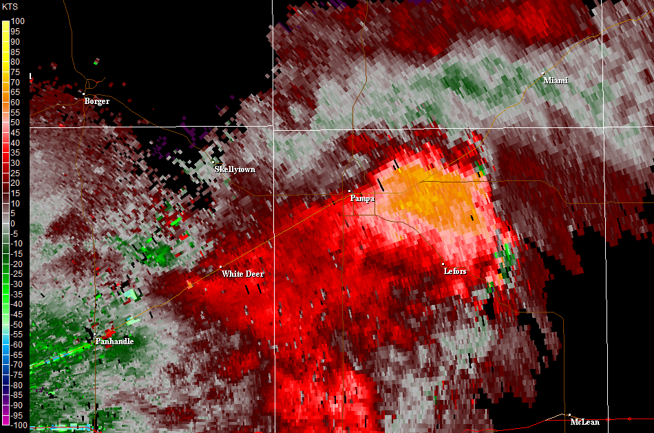
KAMA base reflectivity and base velocity - 6:54 p.m. KAMA base reflectivity - 7:16 p.m.
   
KAMA radar imagery KAMA radar imagery
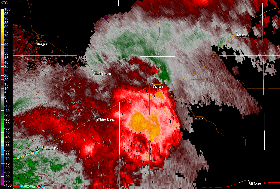
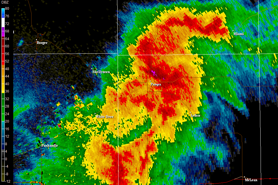
KAMA base velocity - 7:16 p.m. KAMA base reflectivity - 7:30 p.m.
   
KAMA radar imagery KDDC radar imagery
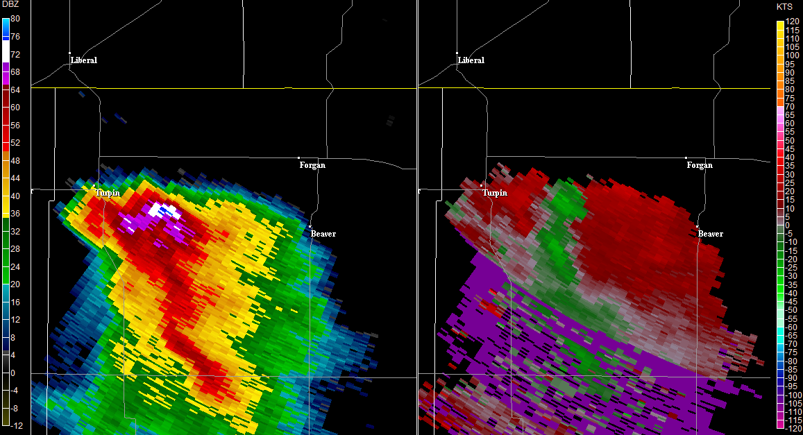
KAMA base velocity - 7:30 p.m. KDDC base reflectivity and storm relative velocity - 7:56 p.m.
   
KDDC radar imagery
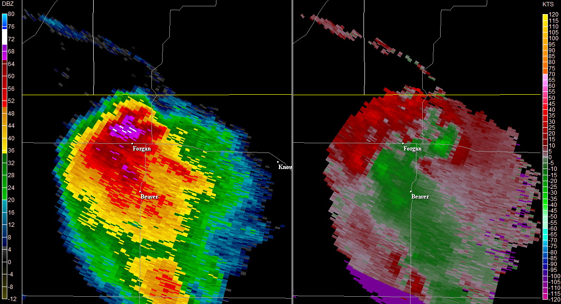
KDDC base reflectivity and storm relative velocity - 8:19 p.m.