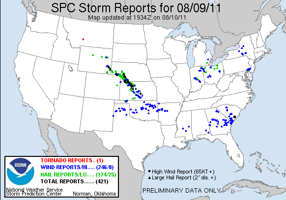
| During the afternoon and evening hours of August 9, a retreating outflow boundary triggered the development of multicell thunderstorms near the New Mexico and Texas state line. As this initial activity spread to the northeast, additional thunderstorms developed across the Central Texas Panhandle. A couple of storms exhibited supercell characteristics, particularly in Beaver County, Oklahoma where wind shear was stronger. As these storms moved across the Texas and Oklahoma Panhandles, they produced numerous reports of strong and damaging winds, especially in Gray County, Texas and Beaver County, Oklahoma. Unfortunately, there were also reports of wind damage near Pampa, TX and Forgan, OK. A damage assessment concluded that winds up to 120 mph were responsible for the damage in Beaver County and straight line winds up to 90 mph were responsible for the damage in Gray County. |


