
Dangerous and extreme heat will remain across portions of the southern U.S. through the weekend. A heat wave over the Southwest U.S. will intensify this week, peaking and expanding into the Intermountain West and northern High Plains this weekend. Multiple rounds of thunderstorms will produce heavy to excessive rainfall with significant flash flooding across portions of southern New England. Read More >
Measuring and Reporting Snow to the National Weather Service |
|
|
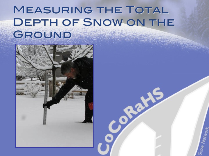
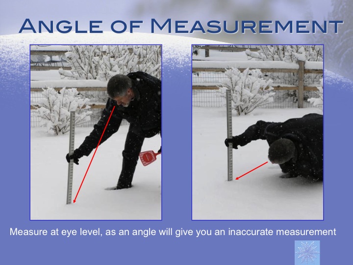
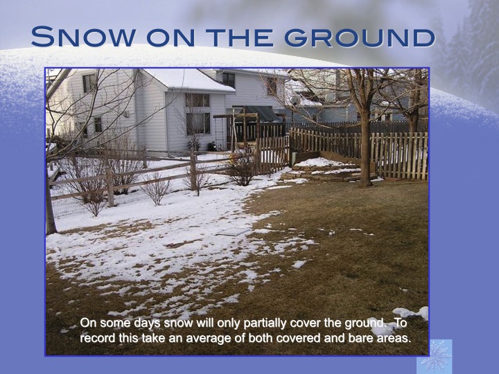
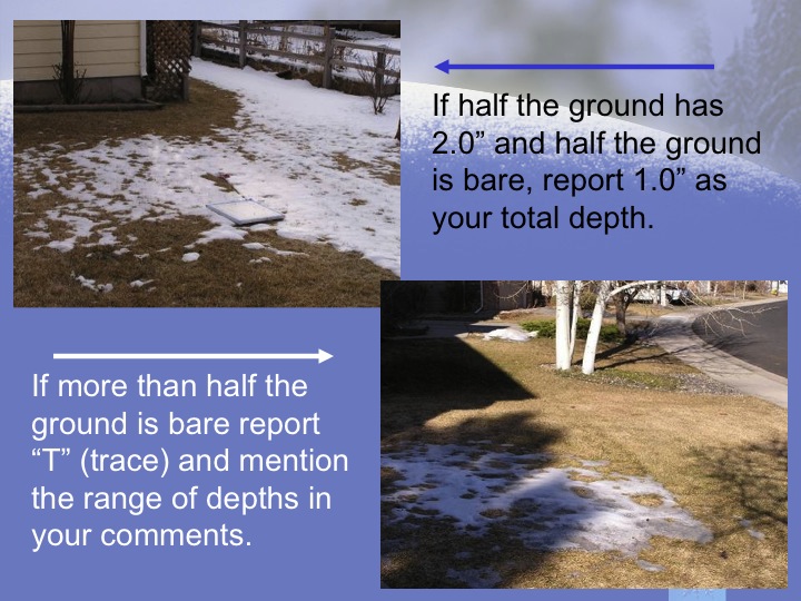
The National Weather Service needs your help! During snow storms, your snow depth measurement, especially if you live in a rural area, is valuable information for determining the impact of the event and accuracy of our forecasts. When it snows, we encourage you to find a simple yard stick and take snow depth measurements every 3 to 6 hours -- more often if conditions are rapidly changing. Please report your snow depth (in inches) using our Storm Report Form. Your report will be immediately sent to and viewed by a NWS forecaster. Taking accurate snow observations is very important. Please click the following slides for a short primer on how to correctly measure snow depth. |
|
 |
 |
 |
 |
 |
 |
 |
|
|
Report your snow depth measurement on the Storm Report Form
|
|
| Thanks to CoCoRaHS for the images used on this page. CoCoRaHS is an acronym for the Community Collaborative Rain, Hail and Snow Network. CoCoRaHS is a unique non-profit community-based network of volunteers of all ages and backgrounds working together to measure and map precipitation (rain, hail and snow). To join CoCoRaHS, go to https://www.cocorahs.org | |

