|
Event Summary
National Weather Service meteorologists surveyed damage in Blount County and determined that the damage was consistent with straight line wind damage.
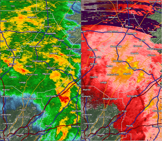
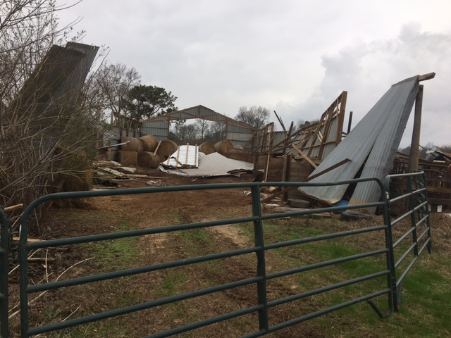
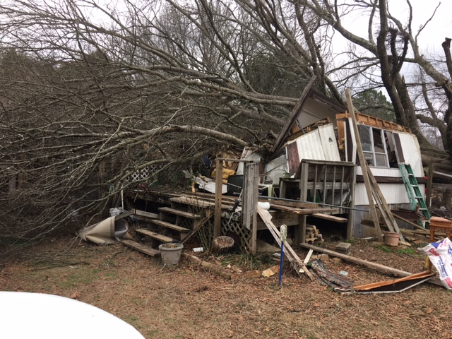
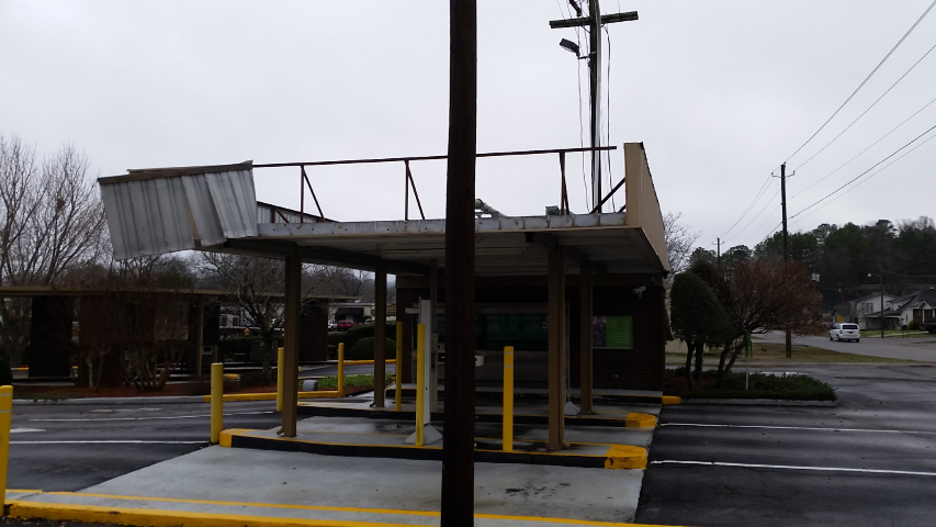
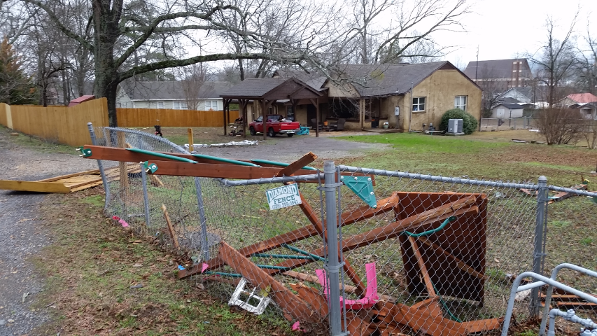
A storm survey was conducted in Blount County, with a particular focus on the city of Oneonta. It was determined that the significant damage sustained was from straight line winds. The determination was made from the divergent tree and damage pattern, and the absence of debris splatter on the leeward facing sides of the damaged structures. In the immediate downtown area, over 60 structures were damaged or destroyed and approximately 200 trees were either snapped or uprooted. The peak wind speeds were estimated between 70 and 80 mph, and this was confirmed by a weather observing station located at the Oneonta Fire Department that measured 77 mph.
Thanks to Blount County EMA, 911 Center Director, 911 Center GIS Analyst, and the Oneonta Public Safety Director for their assistance with this survey.
|