National Weather Service United States Department of Commerce

Long-Lived Supercell - February 18, 2009

Livingston to Montgomery 

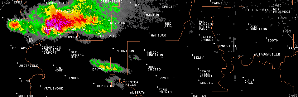
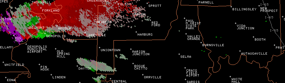
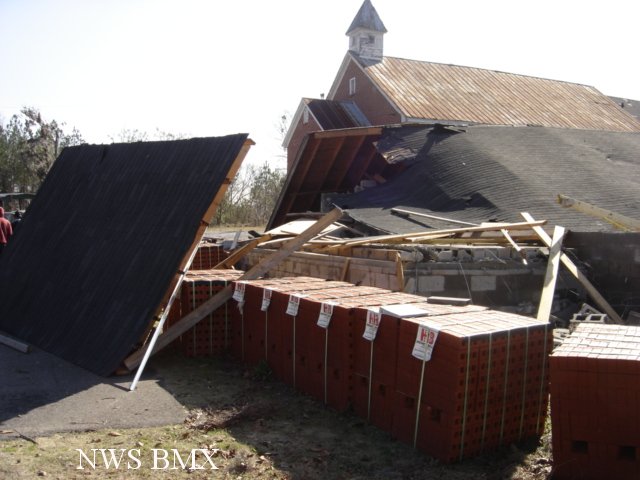
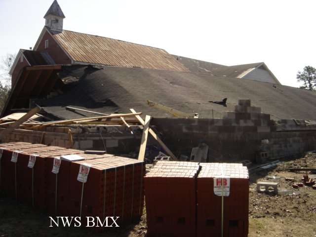
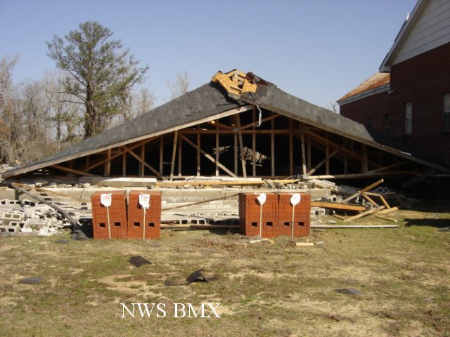
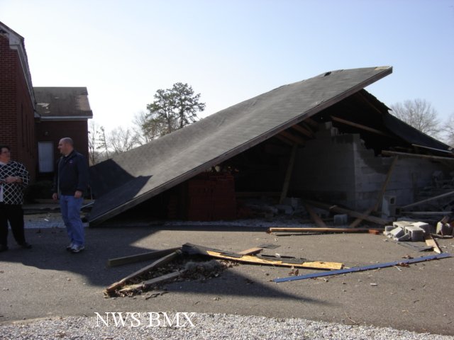
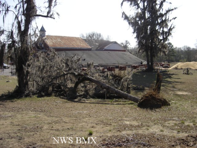
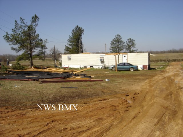
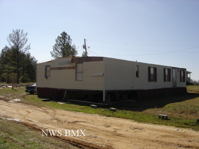
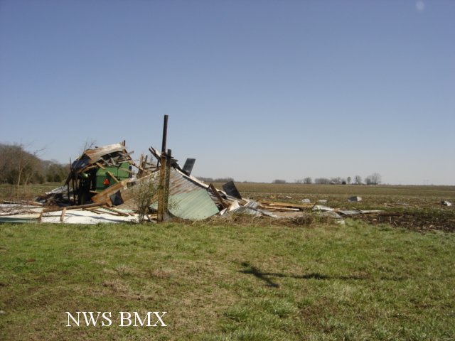
A National Weather Service Damage Assessment Team has surveyed the storm damage from Sumter County eastward to Montgomery County. It has been determined that any damage along the path was the result of straight line winds. Localized areas received winds up to 70 mph.

Minor to moderate damage was discovered in Sumter, Greene, Hale, Perry, and Dallas Counties. The damage was generally confined to shallow rooted trees and weaker structures. No injuries or fatalities were reported.

This storm also produced a swath of large hail. The hail covered the ground in many places and was golf ball to baseball size. The storm produced this activity from around 400 pm CST until 600 pm CST.


Damage Path

Damage Path    The top image is a KBMX 0.5 degree reflectivity loop. The pinks, purples, and whites indicate very high reflectivity and a sure sign of large hail. The storm also exhibits a hook echo near Selma and then wraps up into a complete circle shape, indicative of a bounded weak echo region. The bottom image is a KBMX 0.5 degree storm relative velocity loop. The green indicates wind blowing toward the radar while red indicates wind blowing away from the radar. This storm exhibited persistent rotation and was surely a supercell.

Damage
Roof Damage near Highway 140 East of Selma

Damage
Roof Damage near Highway 140 East of Selma

Damage
Structure Damage near Highway 140 East of Selma

Damage
Structure Damage near Highway 140 East of Selma

Damage
Tree Down near Highway 140 East of Selma

Damage
Roof Damage on CR 306 East of Selma

Damage
Roof Damage on CR 306 East of Selma

Damage
Outbuilding Destroyed near Vaiden Airport