National Weather Service United States Department of Commerce


Flash Flooding in Jefferson County
March 16, 2022

Overview
 

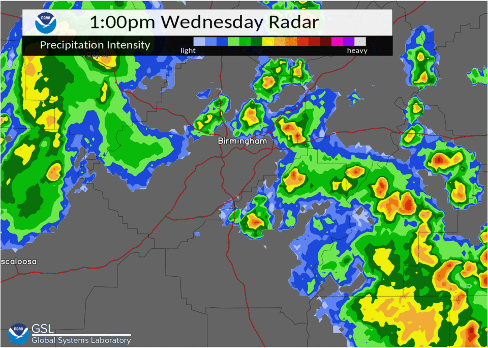
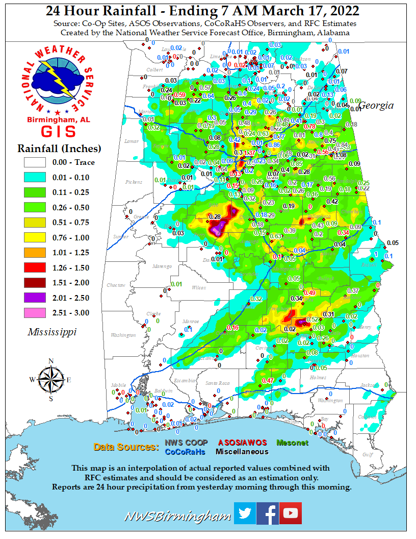
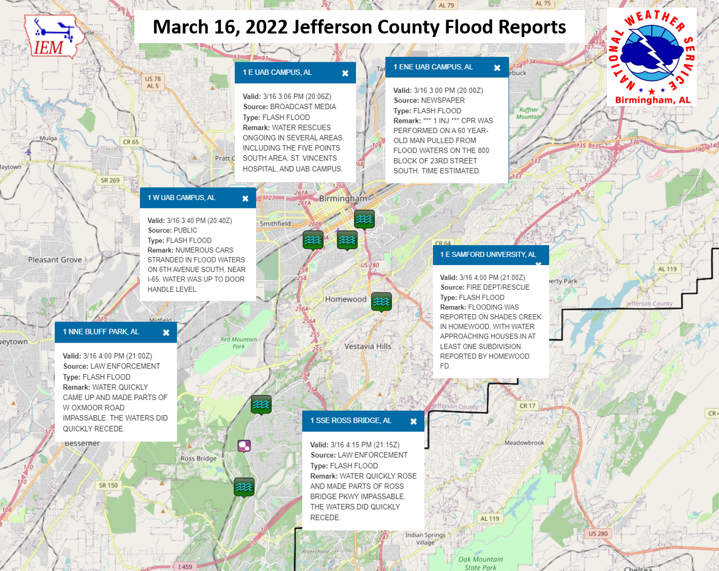
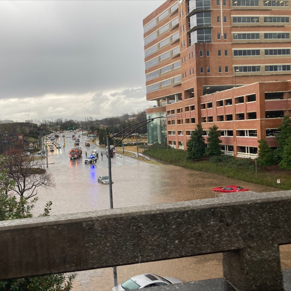
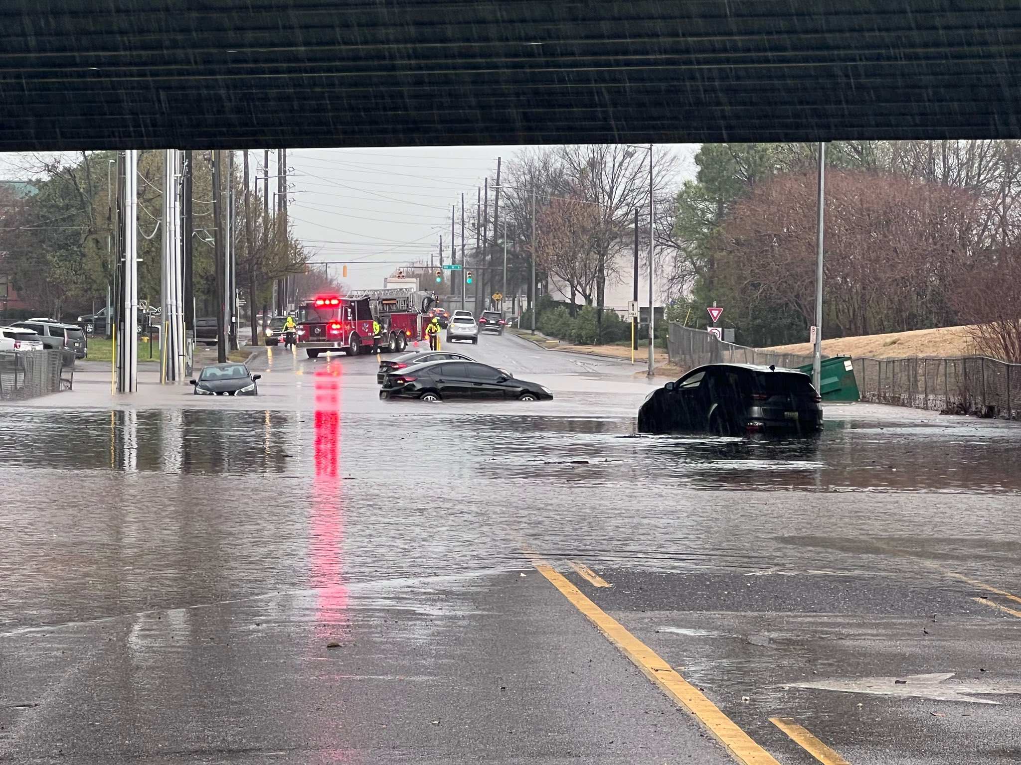
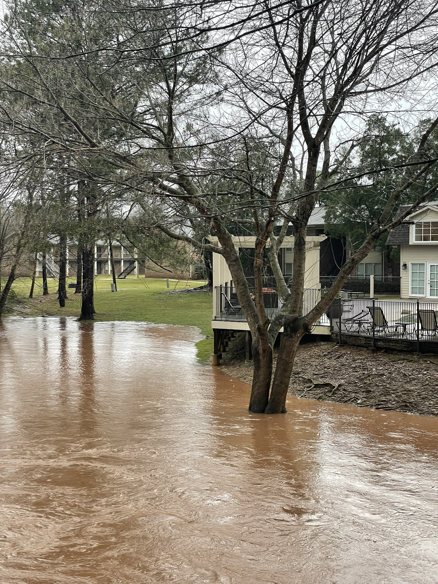
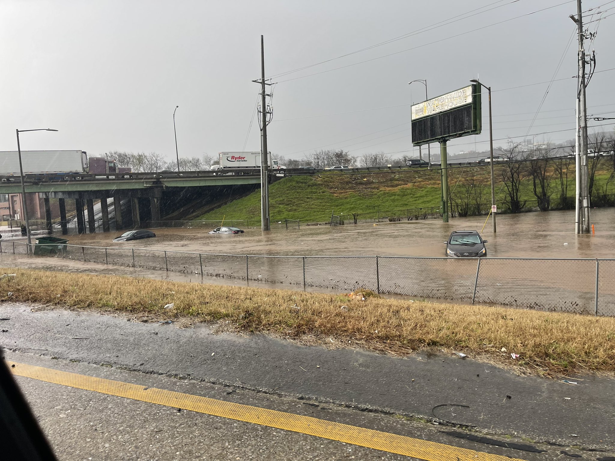
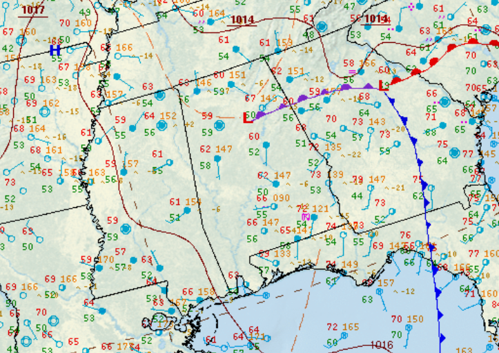
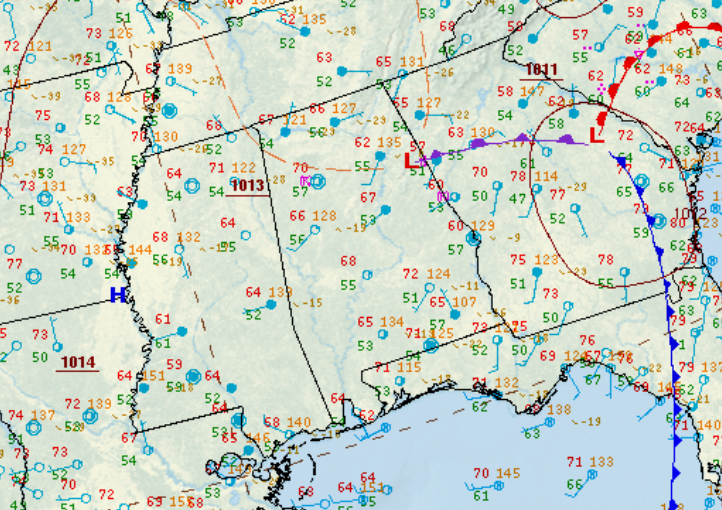
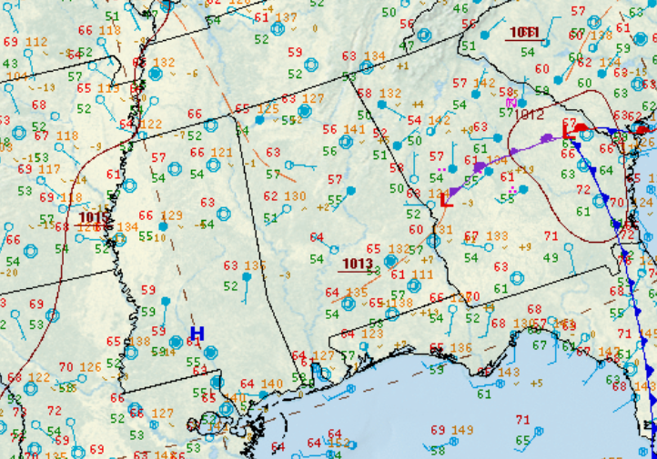
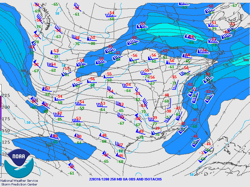
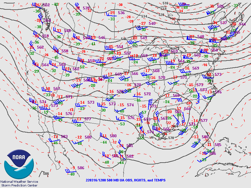
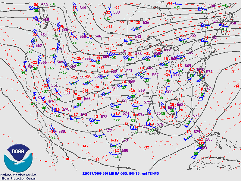
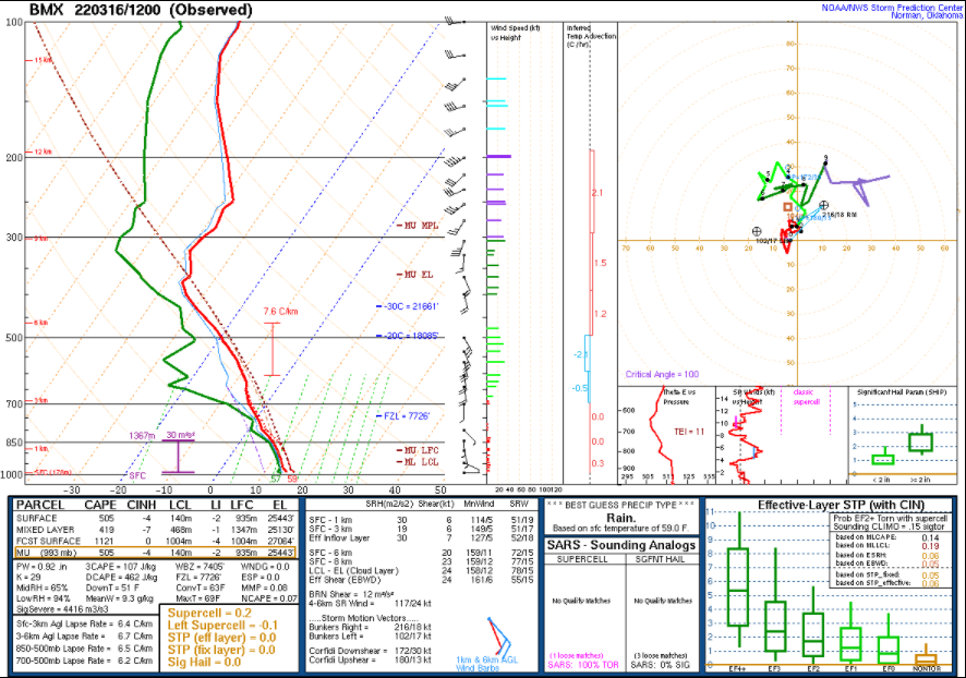
An upper-level low pressure center moved eastward across Central AL on Wednesday, March 16th, bringing showers and thunderstorms to portions of the area. Early that afternoon, slow-moving thunderstorms developed over the Birmingham metro area and produced very heavy rainfall. Water quickly covered several roads, making them impassable. Multiple water rescues were conducted, and unfortunately, there was 1 fatality. Some of the hardest hit areas were near UAB and St. Vincent's. Radar estimated that 2" to 4" of rain fell over the warned area.

A Flash Flood Warning (FFW) was issued at 244 PM CDT for eastern portions of the metro and was later upgraded to include the "Considerable" tag. A second FFW was issued for southwestern portions of the metro at 318 PM CDT.


Radar Loop

 
Rainfall Totals


Alabama Rainfall Plot

Flooding Reports
 

Flooding Reports


Flooding Photos
 

Flood Photo
St. Vincent's Hospital in Birmingham
Courtesy WVTM13

Flood Photo
6th Ave S in Birmingham
Courtesy Andreia Bonds CBS42

Flood Photo
Shades Creek in Homewood
Courtesy Homewood FD

Flood Photo
6th Ave South in Birmingham
Courtesy @helloitscathy


Surface Charts
 

Surface Chart
Surface Analysis
 Mar 16 at 10 am

Surface Chart
Surface Analysis
Mar 16 at 1 pm

Surface Chart
Surface Analysis
Mar 16 at 4 pm

Surface Chart
Surface Analysis
Mar 16 at 7 pm


Upper Air Charts
 

250 mb Chart
250 mb Analysis
Mar 16 at 7 am

500 mb Chart
500 mb Analysis
Mar 16 at 7 am

850 mb Chart
850 mb Analysis
Mar 16 at 7 am

250 mb Chart
250 mb Analysis
Mar 16 at 7 pm

500 mb Chart
500 mb Analysis
Mar 16 at 7 pm

850 mb Chart
850 mb Analysis
Mar 16 at 7 pm

KBMX Sounding
KBMX Sounding
Mar 16 at 7 am

KBMX Sounding
KBMX Sounding
Mar 16 at 7 pm