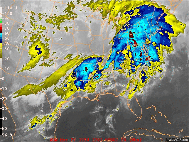
Weather Data
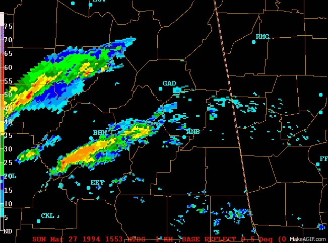
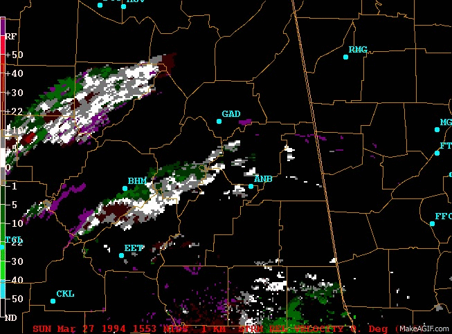
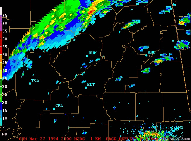
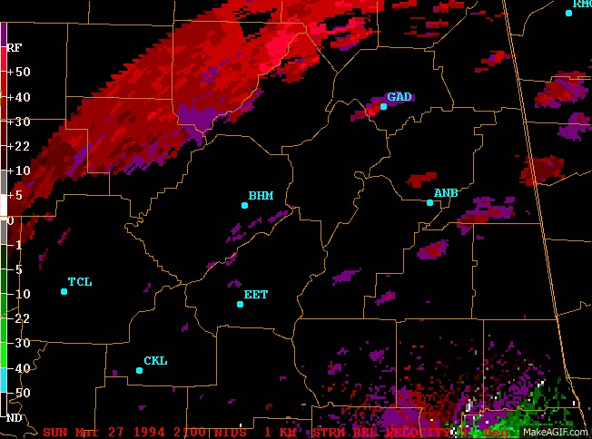
| Strong southwesterly flow dominated the upper-level wind pattern over the southeastern states on the morning of 27 March 1994. At 1200 UTC, a southerly low-level (850 mb) speed maximum of greater than 25 m/s (approx. 50 kt) was exiting the region, while a second southerly speed maximum of greater than 25 m/s (approx. 50 kt) was moving over the Louisiana coastline. 500-mb wind speeds of 30 to 40 m/s (approx. 60 to 80 kt) were widespread from Texas to Georgia in the strong southwesterly flow aloft. A jet streak of 70 m/s (approx. 140 kt) was noted over Missouri and Illinois at 300 and 200 mb. At the surface, a slow moving cold front was positioned over the northwestern corner of Alabama, while a trough extended eastward across northern Alabama and northern Georgia. Early morning surface dew points were in the upper 60s and lower 70s (F) over southern Alabama. Quasi-geostrophic forcing was relatively weak over the southeastern states. Q vectors for both 850-500 mb and 500-300 mb layers at 1200 UTC indicated very little vertical forcing on the synoptic scale.
In spite of the weak quasi-geostrophic forcing, warm and moist low-level air was being lifted along the surface boundaries. The SHARP Workstation (Hart and Korotky 1991) presentation of the unmodified 1200 UTC Centreville, Alabama (CKL) sounding indicated an observed CAPE (convective available potential energy) of 1,193 J/Kg, with 0 J/Kg of CIN (convective inhibition). The CAPE increased to 2,665 J/Kg by 1800 UTC. The mean wind in the lowest 6 km (at CKL) increased from 23 m/s (approx. 43 kt) at 1200 UTC to 28 m/s (approx. 54 kt) at 1800 UTC out of the southwest. This wind speed increase was associated with increasing temperature gradients (frontogenesis) throughout the troposphere. The hodographs indicated wind shears of greater than 50 kt in the lowest 6 km at both 1200 and 1800 UTC. The SHARP Workstation's computed storm motion was relatively close to the actual storm motion at 1800 UTC. This storm motion produced a storm-relative helicity (0-3 km) of 510 m /s , which resulted in an energy/helicity index (Hart and Korotky, 1991) of an incredible 8.49. Hart and Korotky (1991) suggested that 1.0 is indicative of a significant tornado potential, while Davies (1993) suggested that 2.0 or 2.5 may be a better indicator of a significant tornado event. It was in this moderately buoyant and highly sheared environment that several supercells developed over northern Alabama on Palm Sunday 1994. |
Click on the icon to see a loop. You will need a browser with javascript.
|