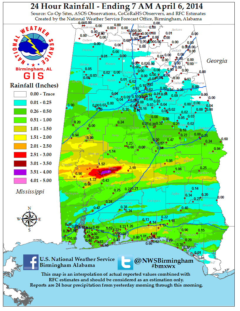
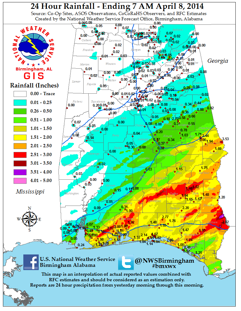
7AM April 6th
1PM April 6th
7PM April 6th
1AM April 7th
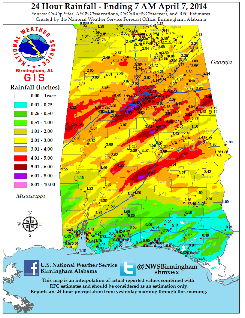
7AM April 7th
1PM April 7th
|
|||||||||||||||||||||||||||||||||||||||||||||||||||||||
| For a complete list of local storm reports from the event, click here. | |||||||||||||||||||||||||||||||||||||||||||||||||||||||
| Photos |
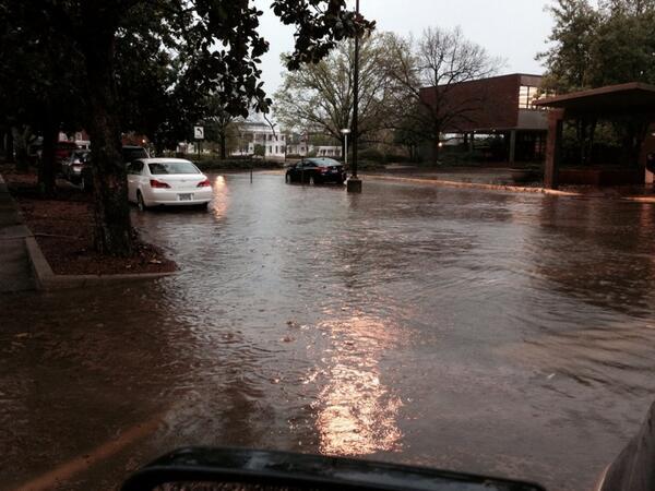
Alabaster |
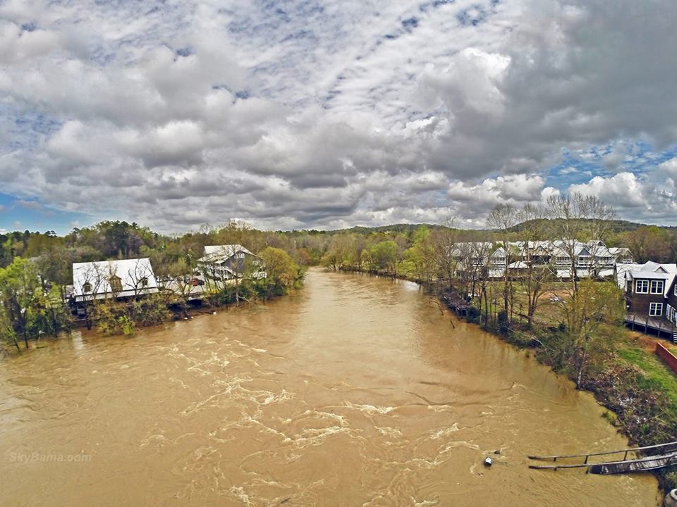
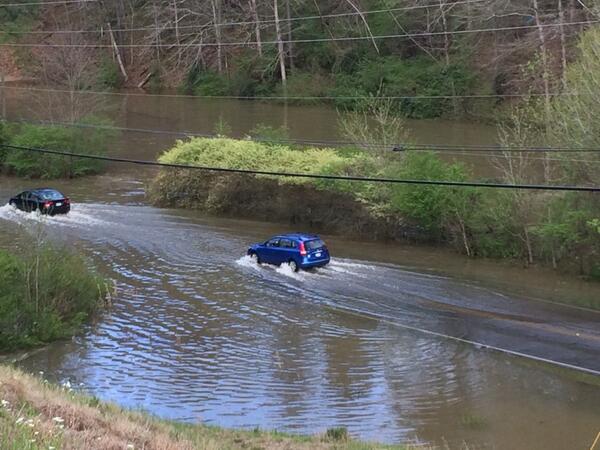
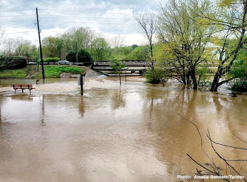
Buck Creek in Helena |
Alabaster |
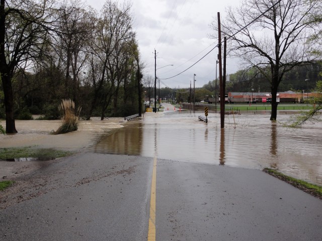
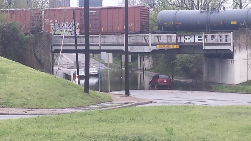
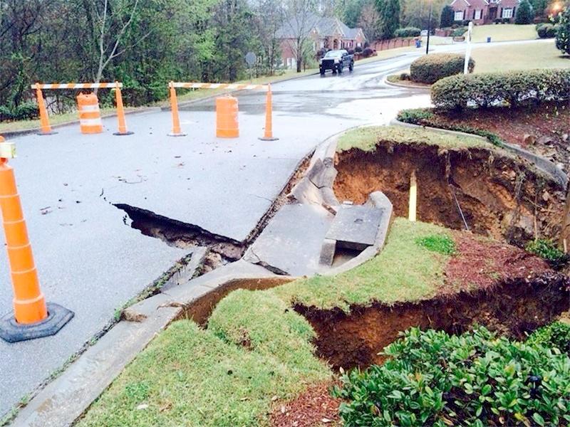
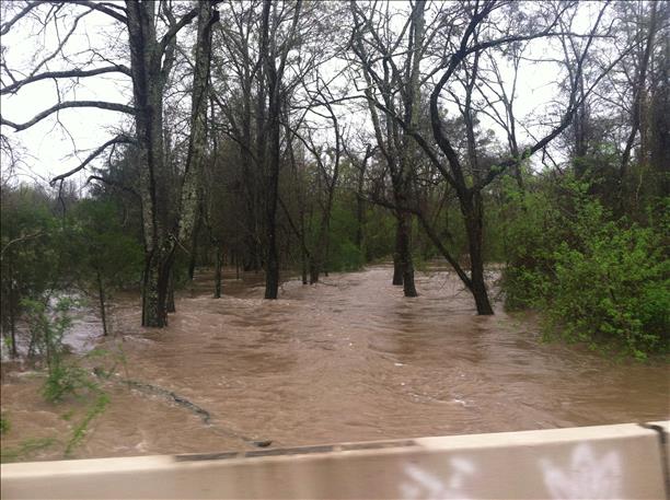
Acton Rd in Birmingham |
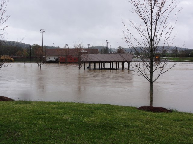
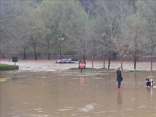
Green Park South |
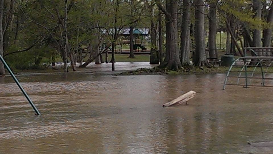
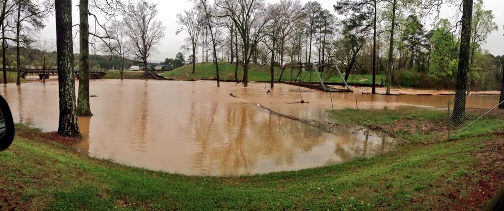
Orr Park in Montevallo |
Hwy 119 in Pelham |
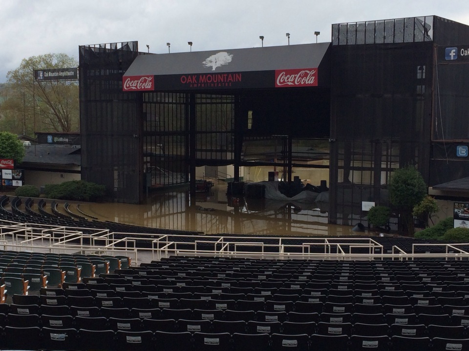
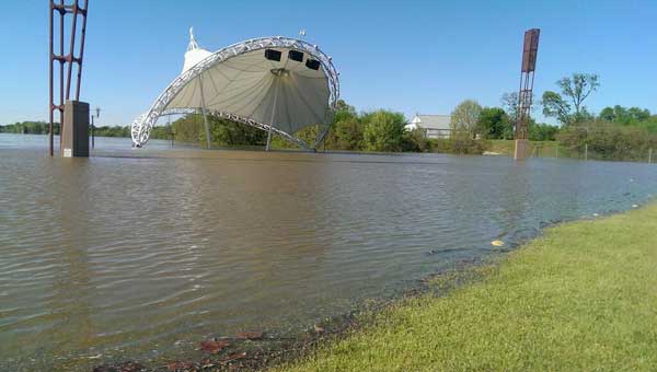
Oak Mountain Amphitheatre |

Hueytown |
Mercer Airport Blvd (BHM) |
Pelham |

Hwy 31 in Vestavia Hills |
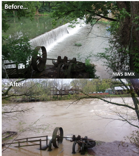
Buck Creek in Helena |
Coker |
Arkadelphia Rd (BHM) |
Bessemer Gardens in Hueytown |
Oxmoor Rd |
Bessemer |

Pelham |

CR 73 in Hardaway |
Birmingham |
Birmingham |
Helena Amphitheatre |

Homewood |
Oxford |

Pelham |
Pelham |
Pelham |
Randolph County |
Randolph County |
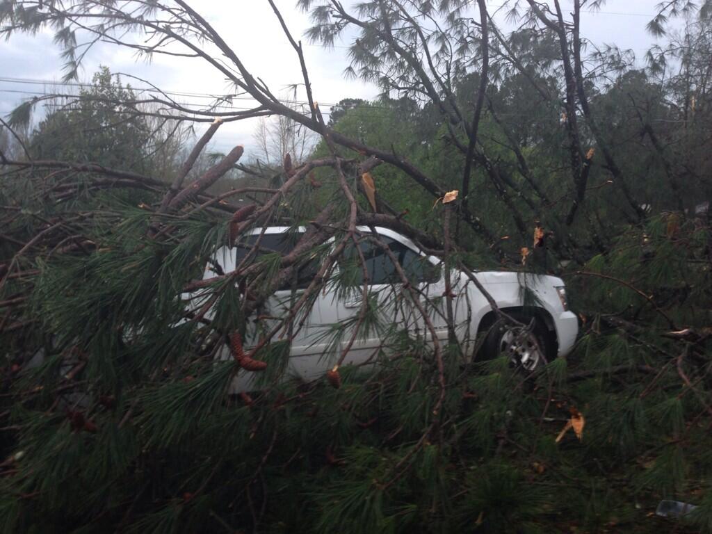
Mallard Creek Subdivision (LeeCo) |
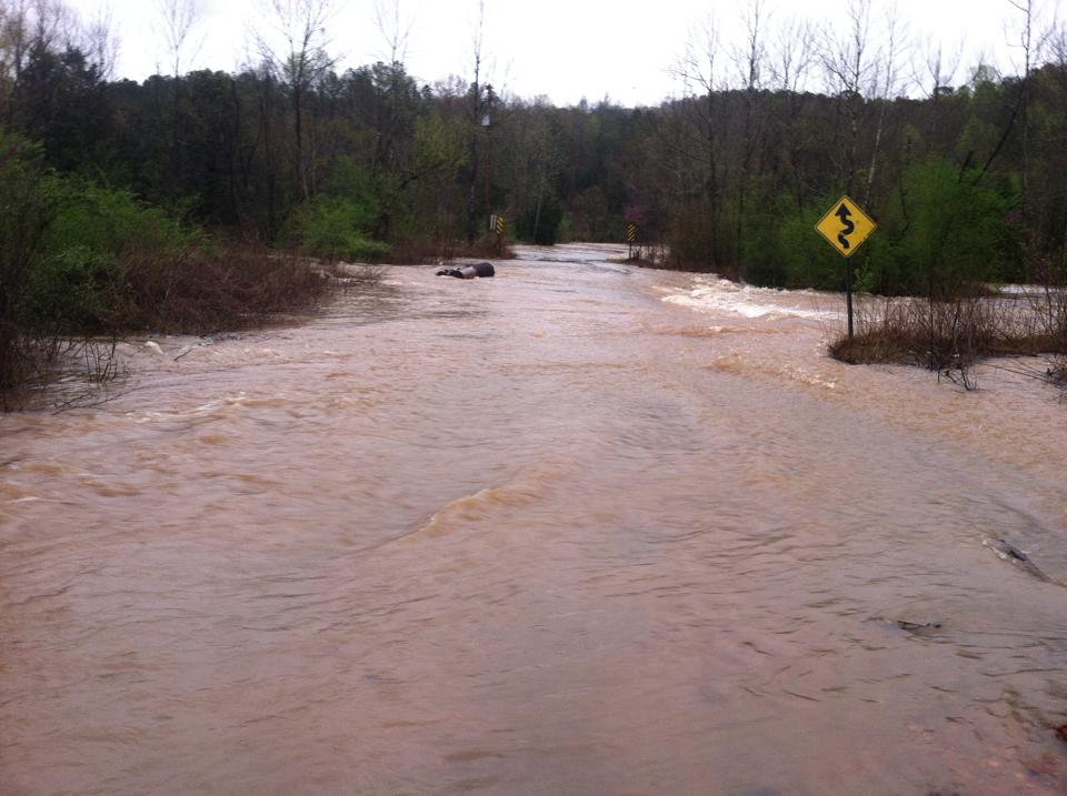
Lee County Rd 878 |

Jasper |
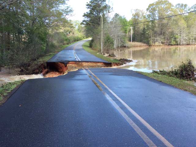
Macon County Rd 30 |
Oneonta |

Vestavia Hills |
Berry |
Munford |
Hwy 280 in Alexander City |
Auburn University |
Columbiana Rd in Homewood |
Pelham |
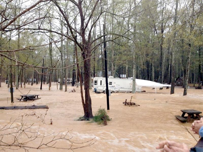
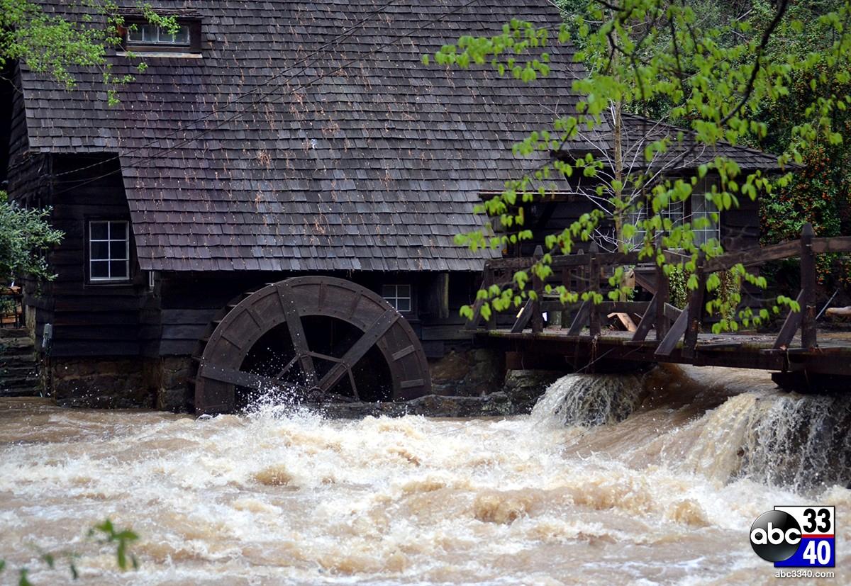
Tannehill State Park |
Trussville |
Lakeshore Drive (BHM) |
Chilton County |
jemison Park in Mountian Brook |
Altadena Valley County Club |
Village Creek at Ave W (BHM) |

Columbiana Rd |
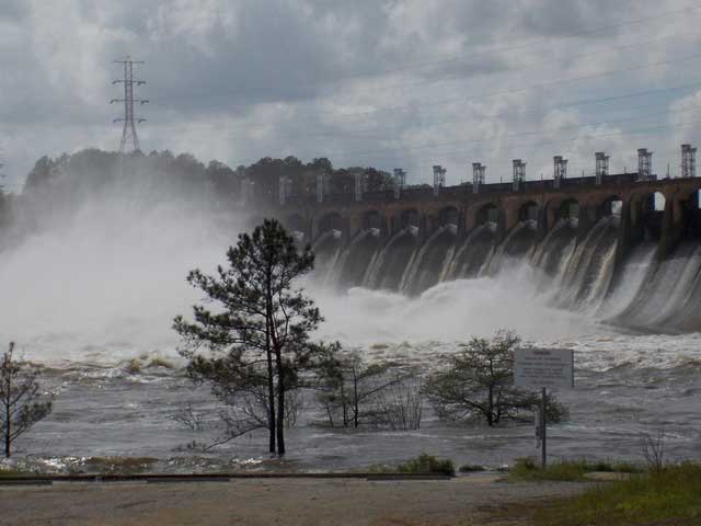
Jordan Dam |
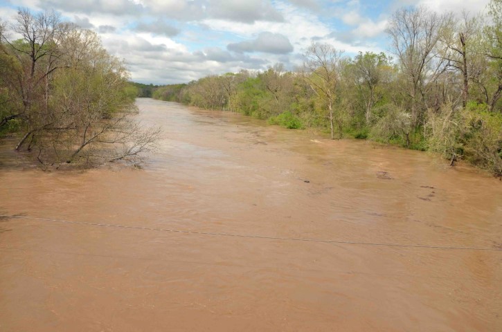
Cahaba River in Centreville |
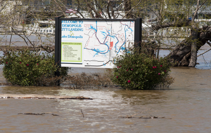
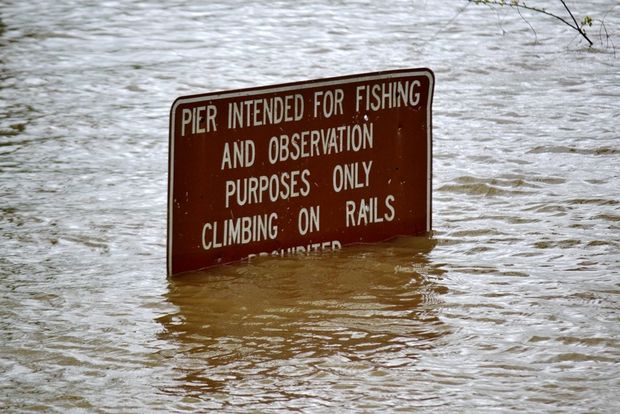
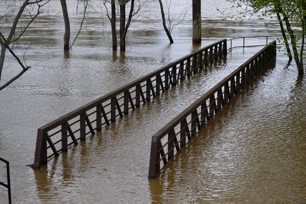
Demopolis City Landing |
Manderson Landing in Tuscaloosa |
River Rd Park West in Tuscaloosa |
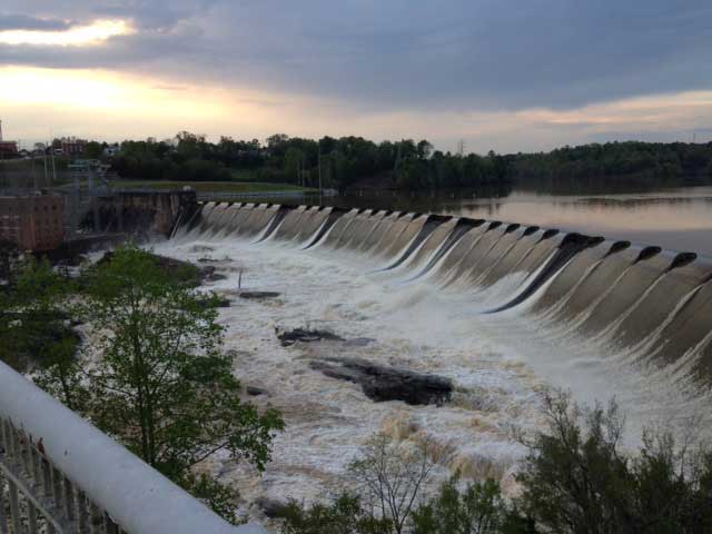
Neely Henry Dam |
Riverfront Park in Montgomery |

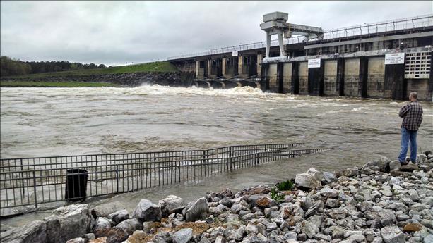
Spillway Falls Park in Demopolis |
Black Warrior River in Moundville |
Cahaba River |
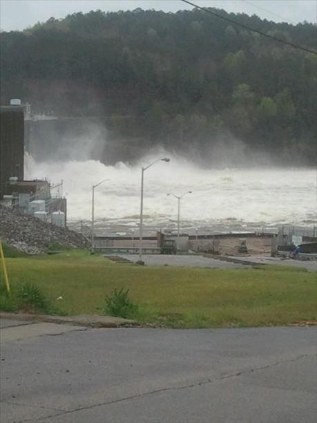
Lake Mitchell Dam |
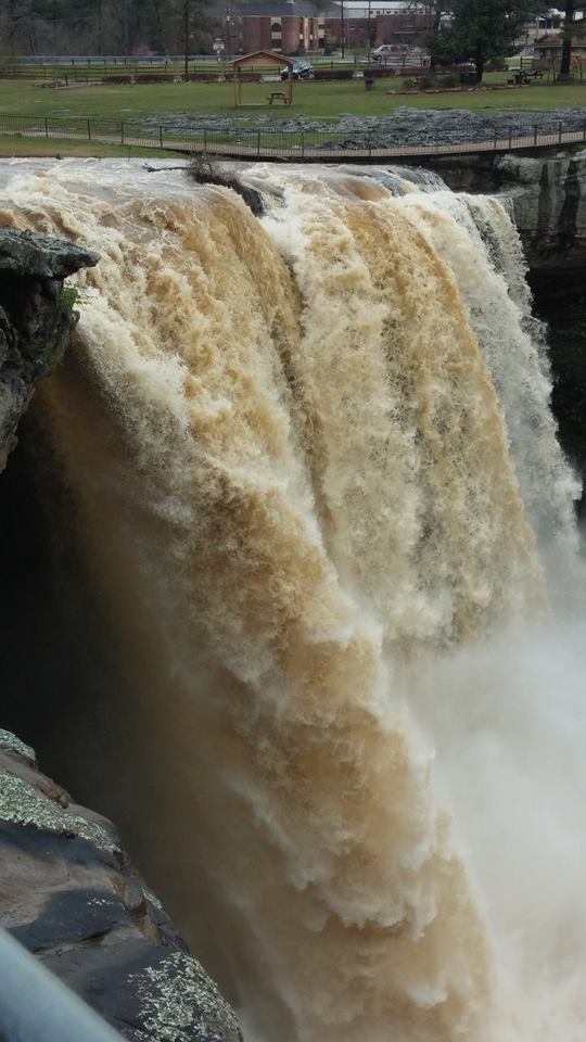
Noccalula Falls |
Thurlow Dam |
West Blocton |
|
|
|
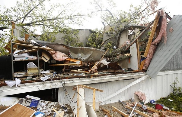
Carrollton |
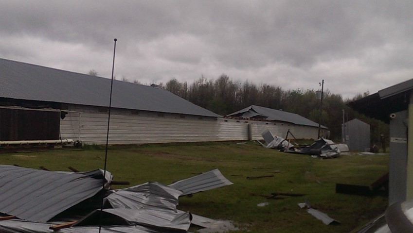
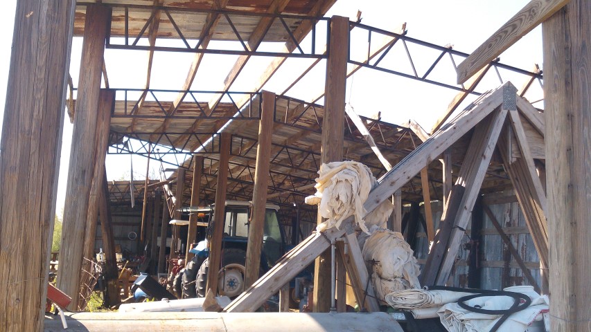
Benevola (Pickens Co) |
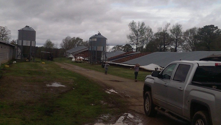
Benevola (Pickens Co) |
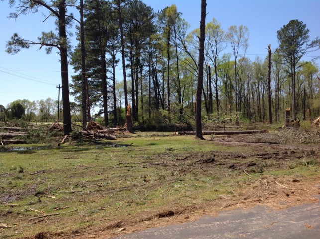
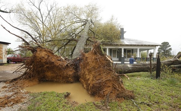
Aliceville |
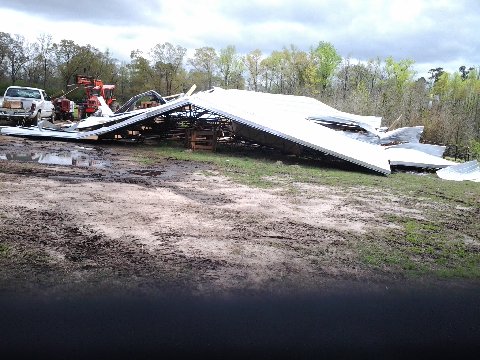
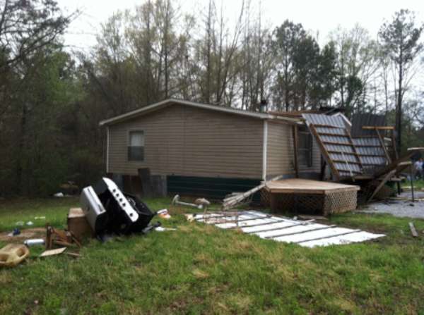
Buhl (Tuscaloosa Co) |
Buhl (Tuscaloosa Co) |
Buhl (Tuscaloosa Co) |
Buhl (Tuscaloosa Co) |
Elrod |
|
|
|
|
NWS Huntsville |
|
Videos Aerial video of Helena flooding (YouTube) - Courtesy of Kevin Henderson Macon CR 30 Collapse (WSFA) - Courtesy of Macon County Road & Bridge Dept |