|
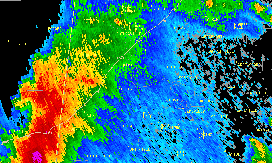
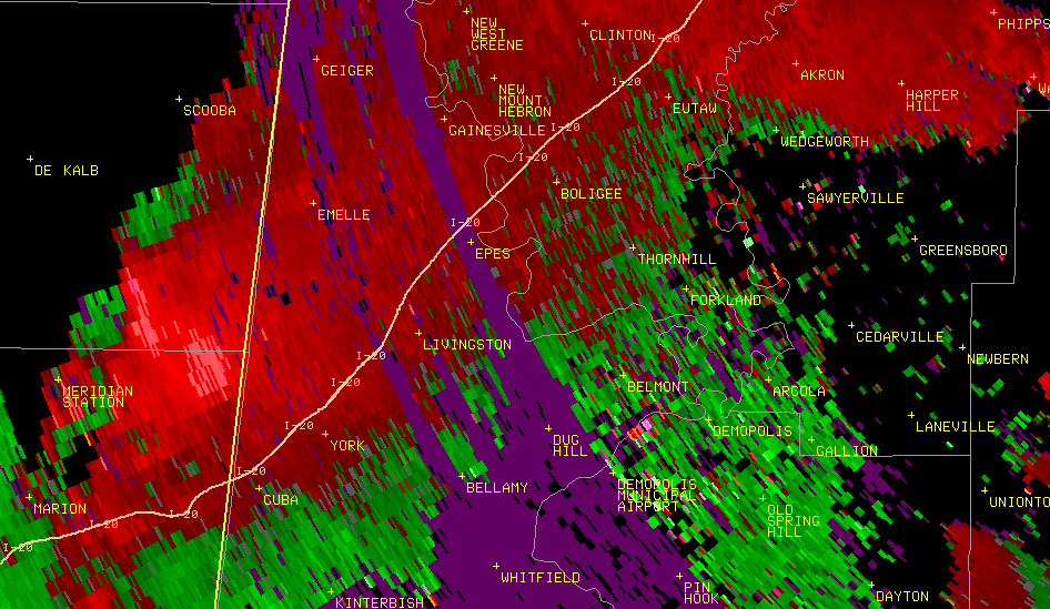
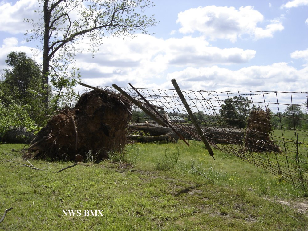
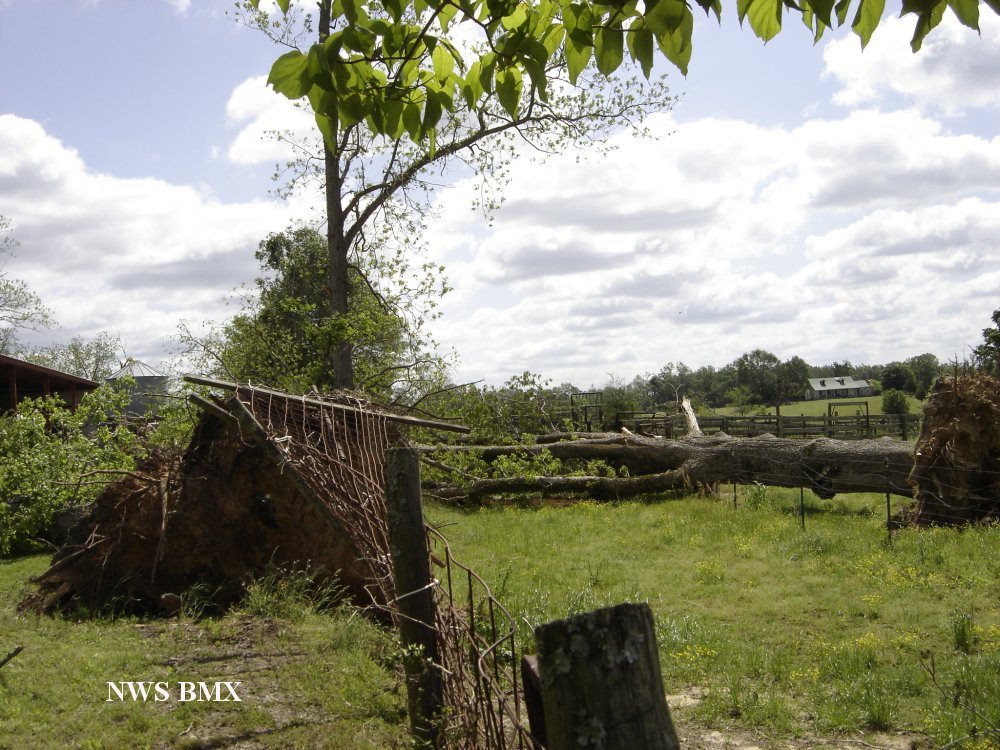
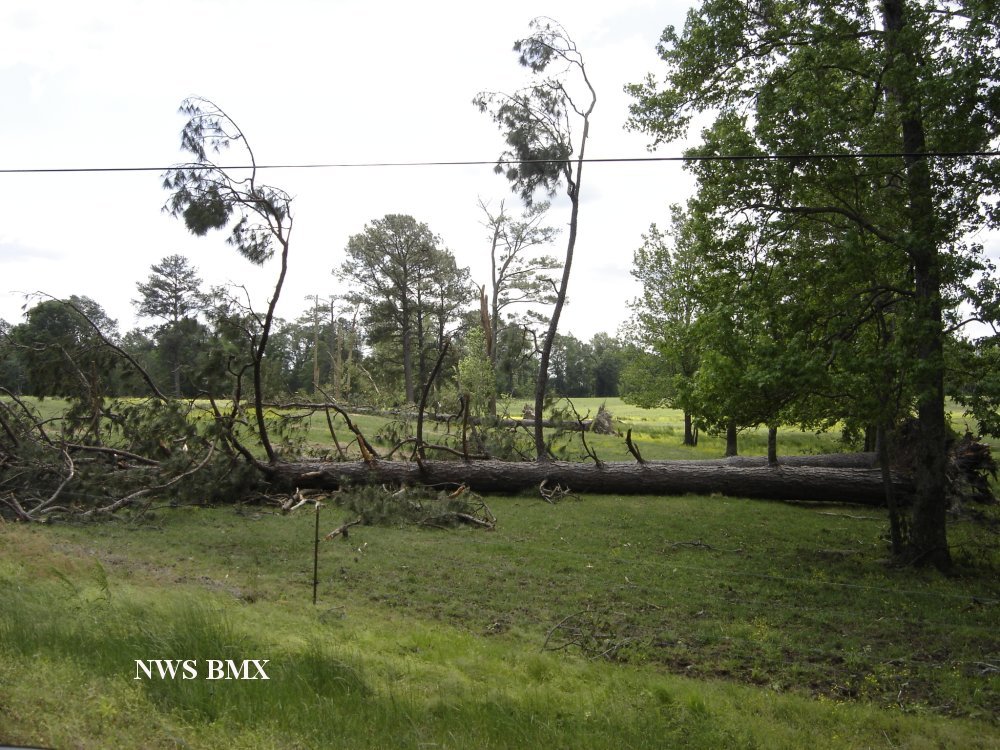
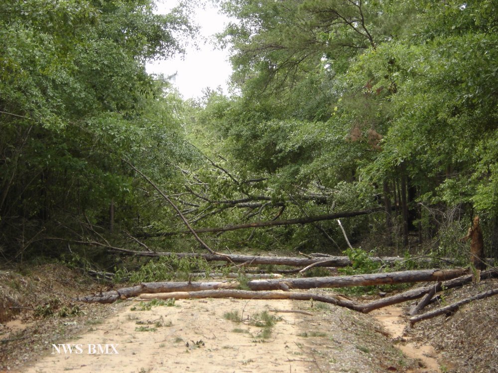
A National Weather Service Damage Assessment Team has surveyed the storm damage in Sumter County. It has been determined the damage was the result of both a tornado and straight line winds.
Straight line winds caused a swath of damage through Sumter County. Along with these straight line winds, a brief tornado touchdown was reported near the intersection of CR 16 and CR10. A path of sporadic tree damage, as well as minor damage to the roof of a home in Ward occured as a result of these straight line winds. A woman was trapped in her vehicle because of falling trees near AL17 and CR 42. No damage that occured was directly related to the tornado. Straight line winds were estimated to be around 80 mph and the width of the damage path was 1000 yds at its widest point.
|