Smith Lake Tornado - May 8th, 2008
|
Rating:
(Click for EF Scale) |
EF-1
|
|
Estimated Maximum Wind:
|
100 mph
|
|
Injuries/Fatalities:
|
None
|
|
Damage Path Length:
|
2.51
|
|
Maximum Path Width:
|
600 yards
|
|
Approximate Start Point:
|
33.973/-87.782 at 200 PM
|
|
Approximate End Point:
|
33.976/-87.138 at 205 PM
|
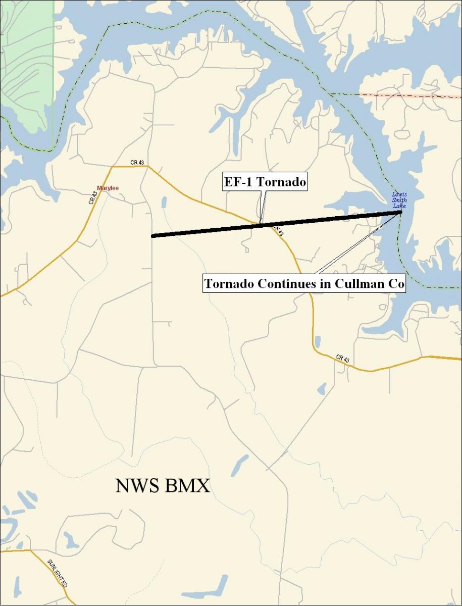
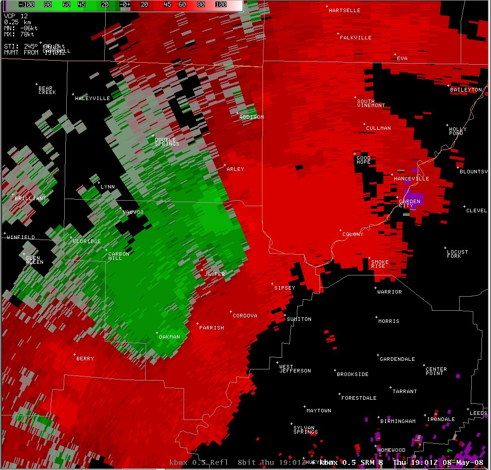
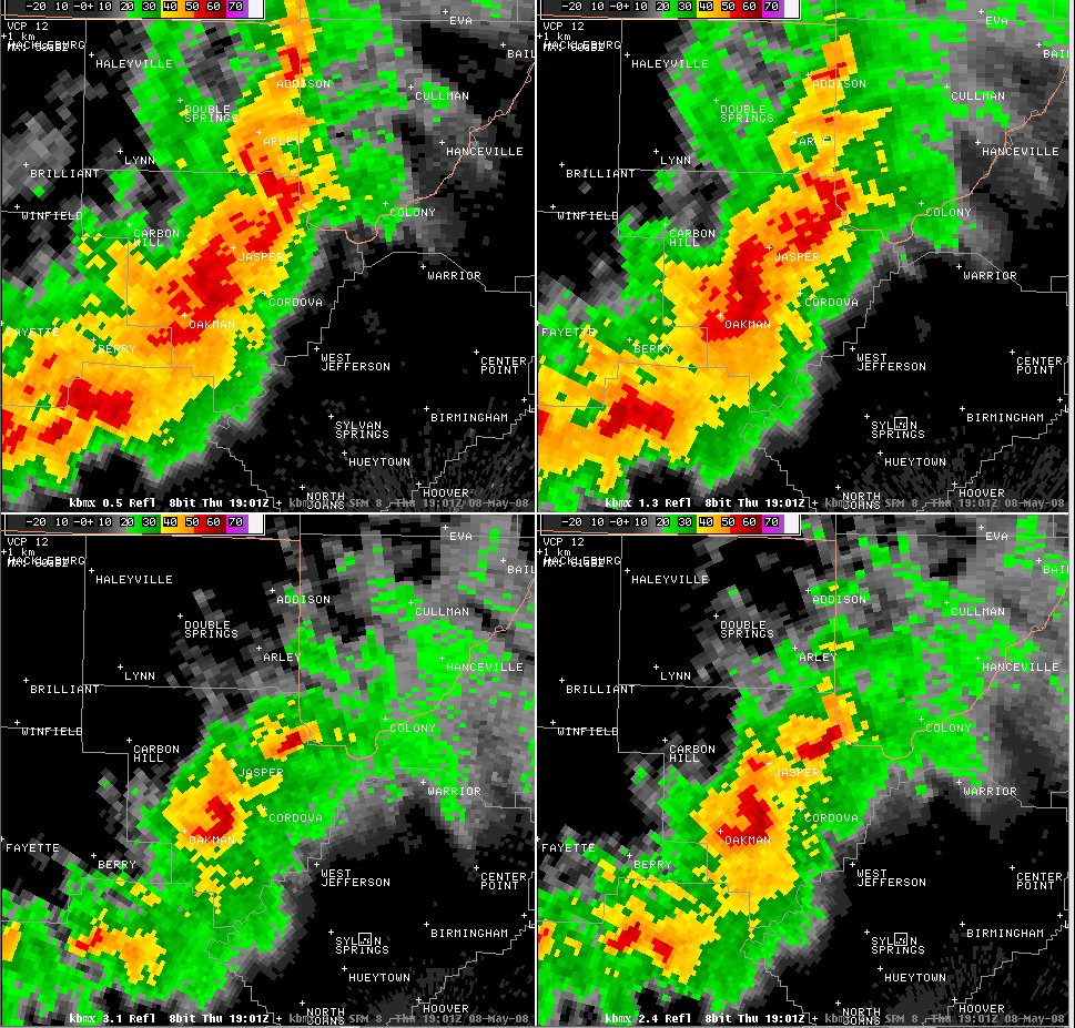
A National Weather Service Damage Assessment Team surveyed the damage in northeastern Walker County. The damage was the result of a tornado. This tornado touched down on Blooming Grove Road, about six tenths of a mile south of County Road 43 near the Marylee Community. The tornado then moved almost due east, crossed County Road 43 and then crossed Smith Lake. The tornado continued into Cullman County where it produced additional damage. Along its path in Walker County, the tornado blew down or snapped off hundreds of trees, damaged or destroyed at least 5 chicken houses, and destroyed at least 5 boat houses at the Euskin Point Marina on Smith Lake. The tornado damage path in Walker County was about 2.51 miles long and 600 yards wide at its widest point. The damage was consistent with winds around 105 mph.
|
|
||||||||||||||||||||||