|
|
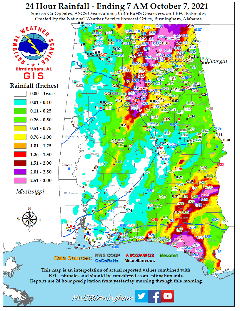
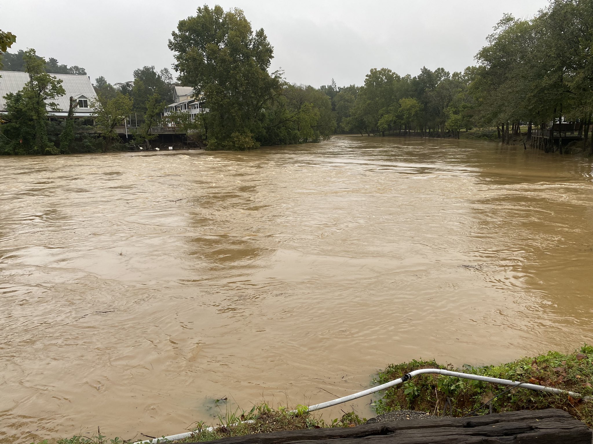
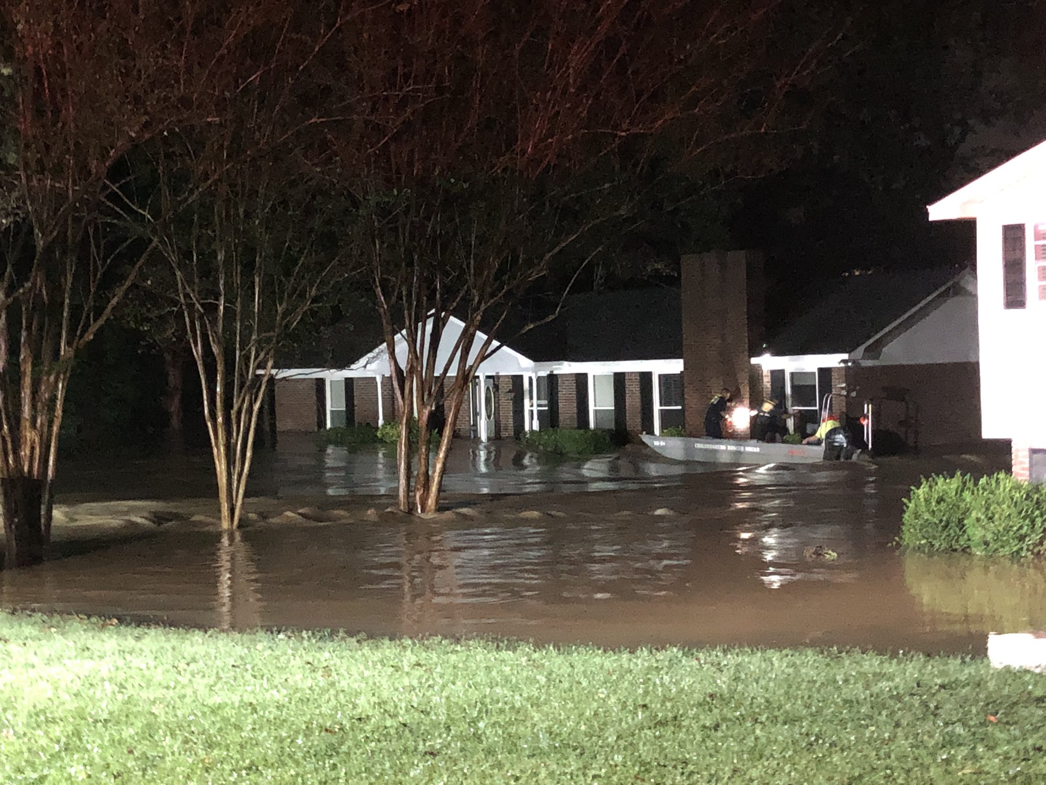
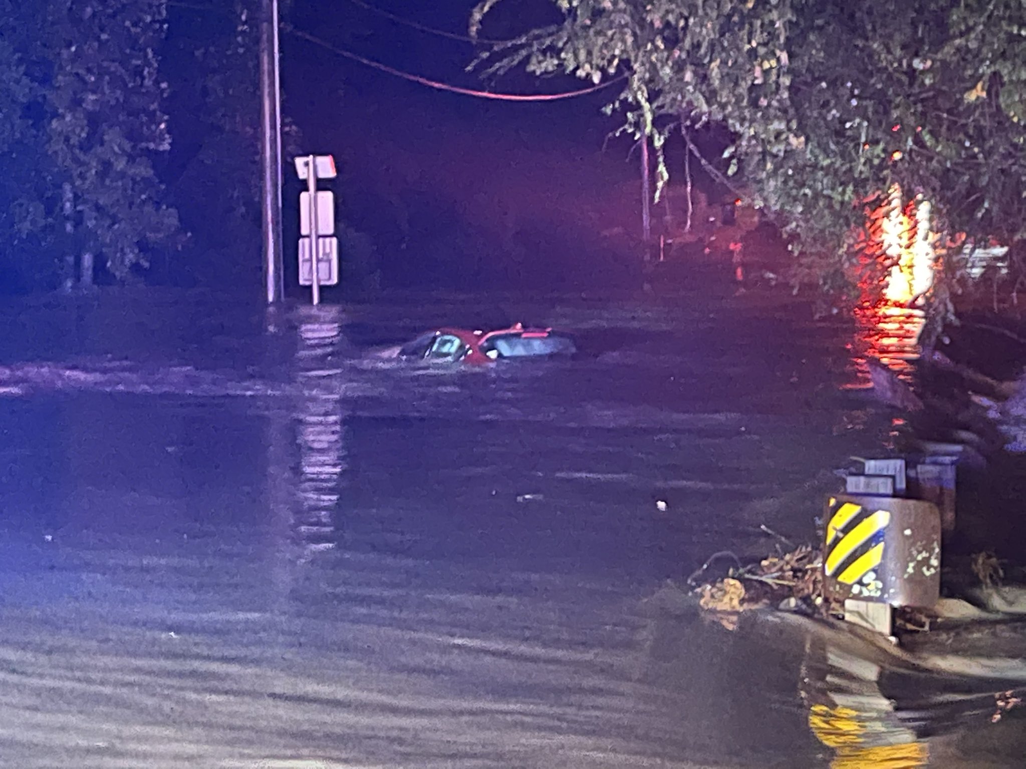
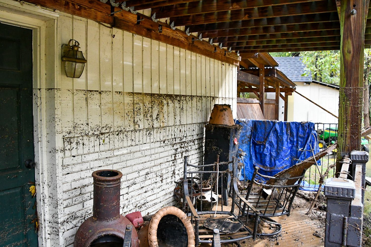
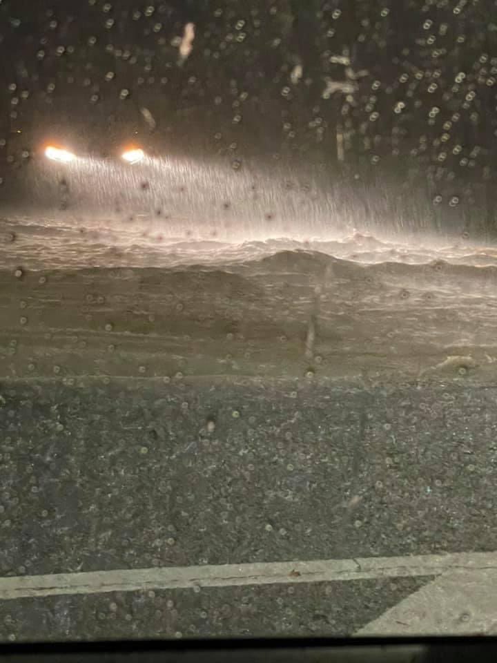
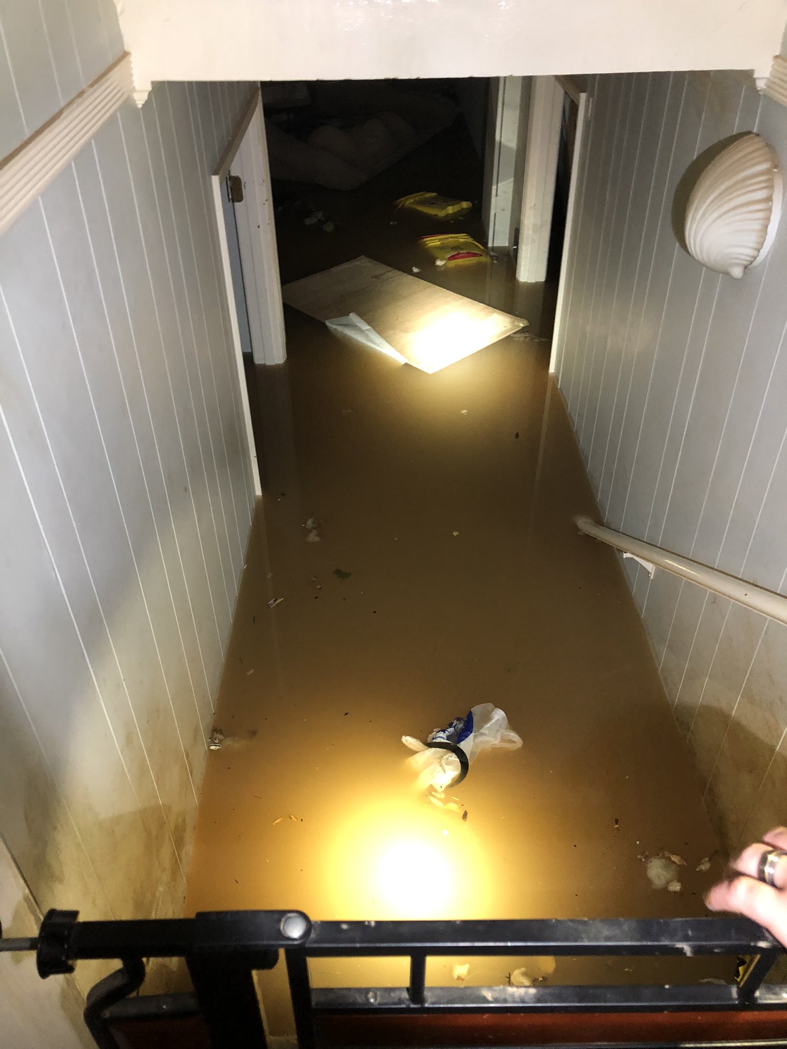
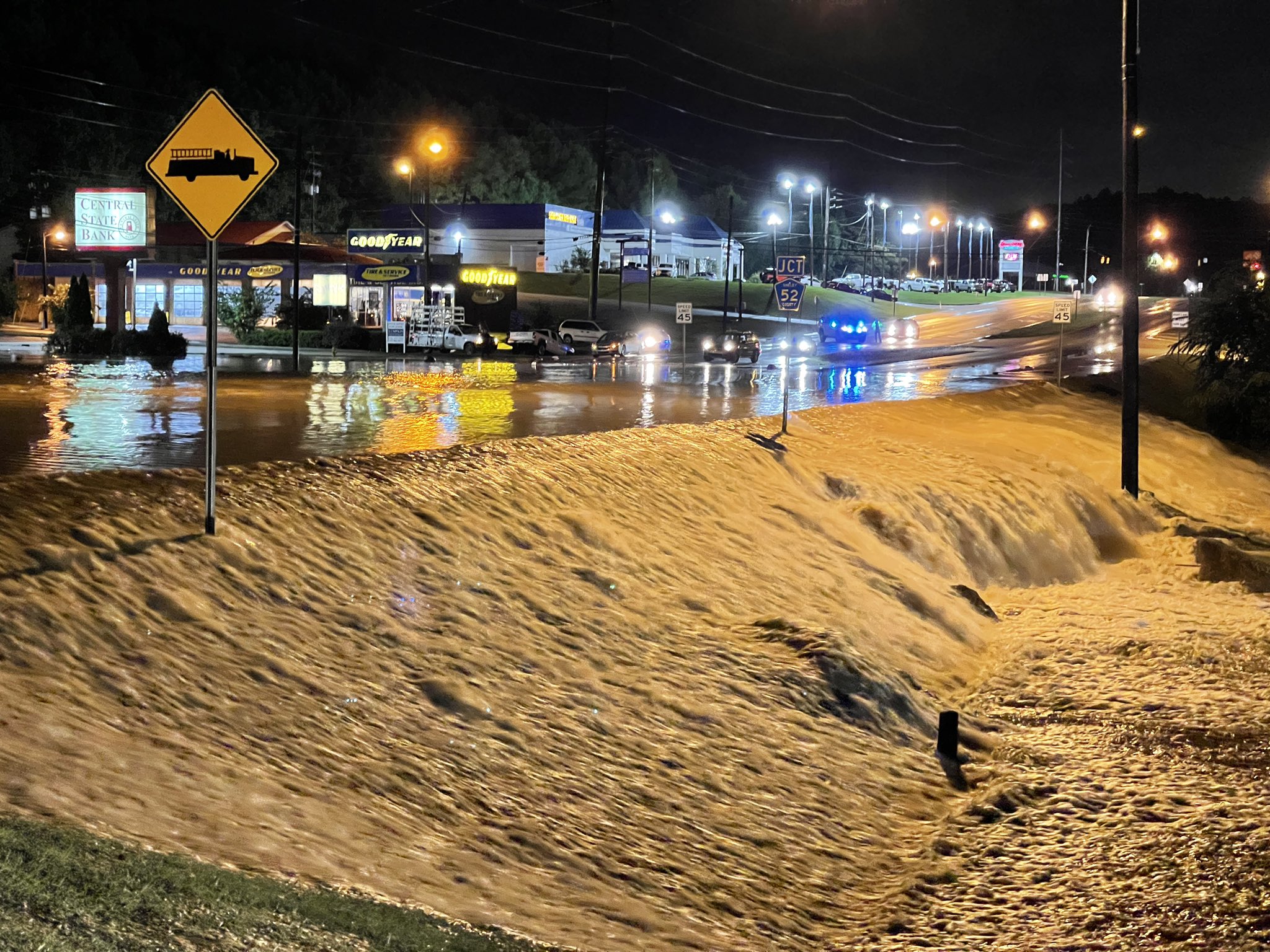
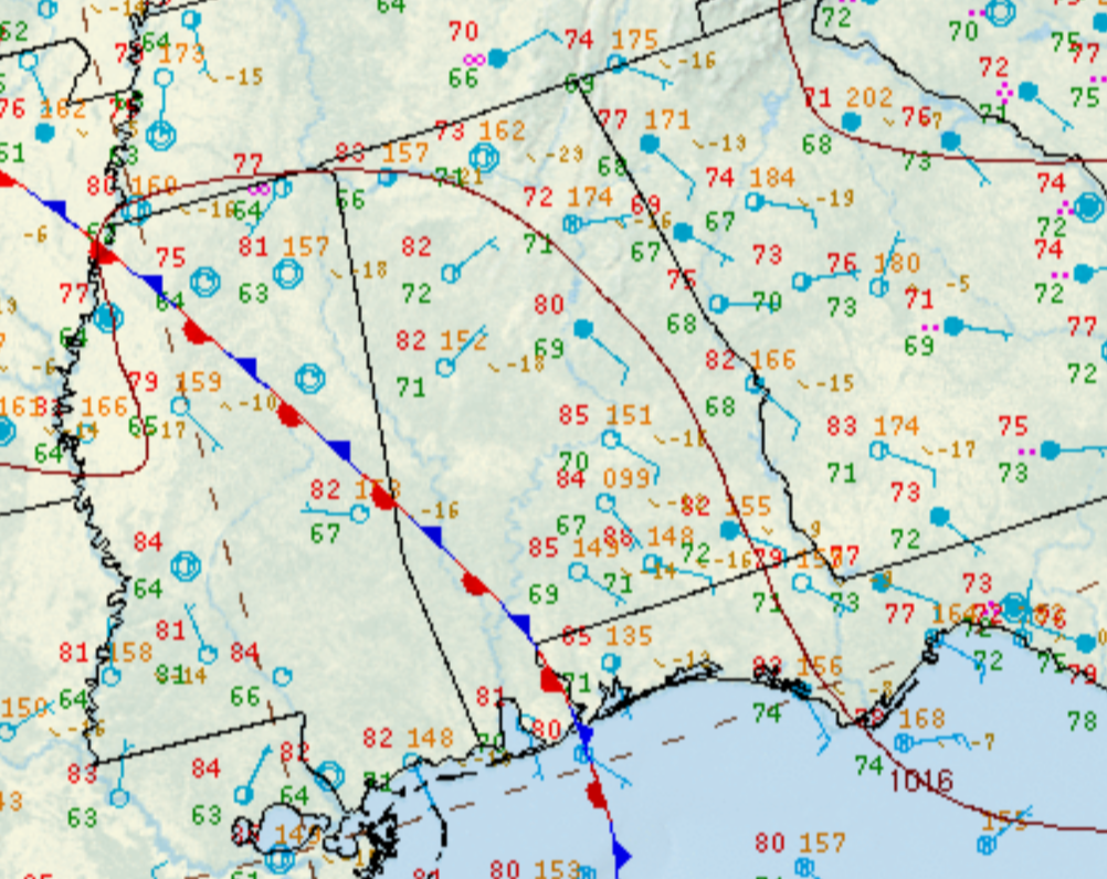
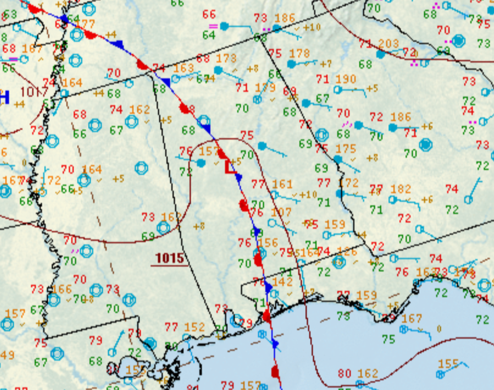
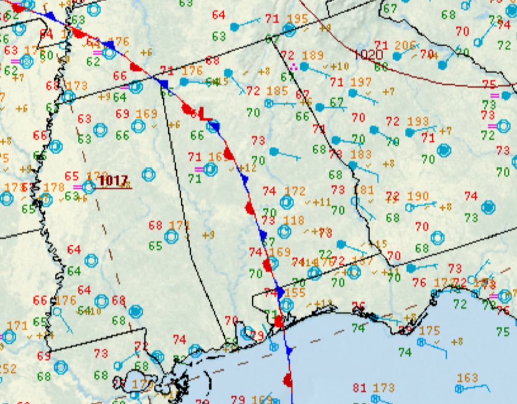
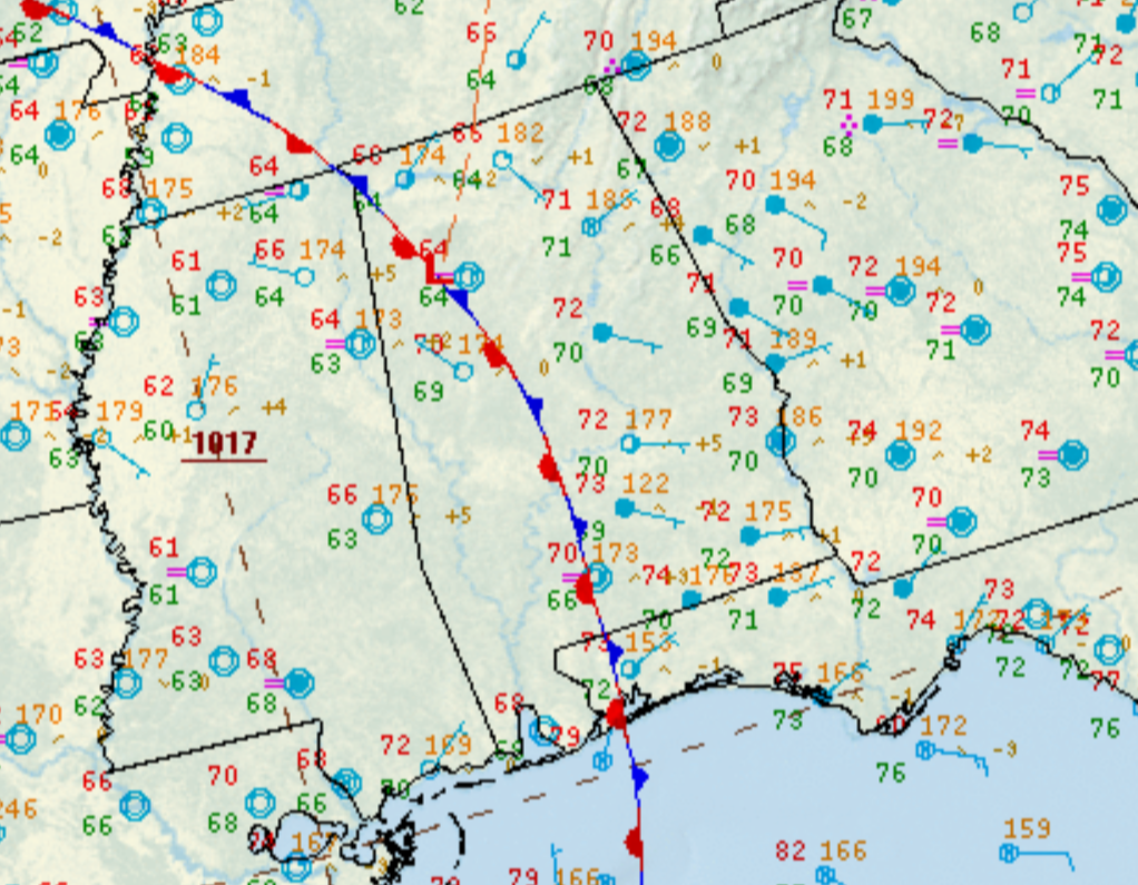
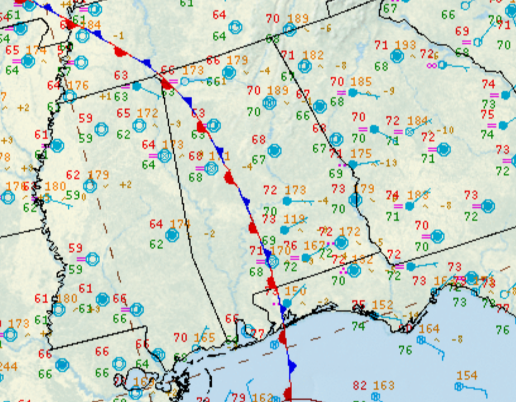
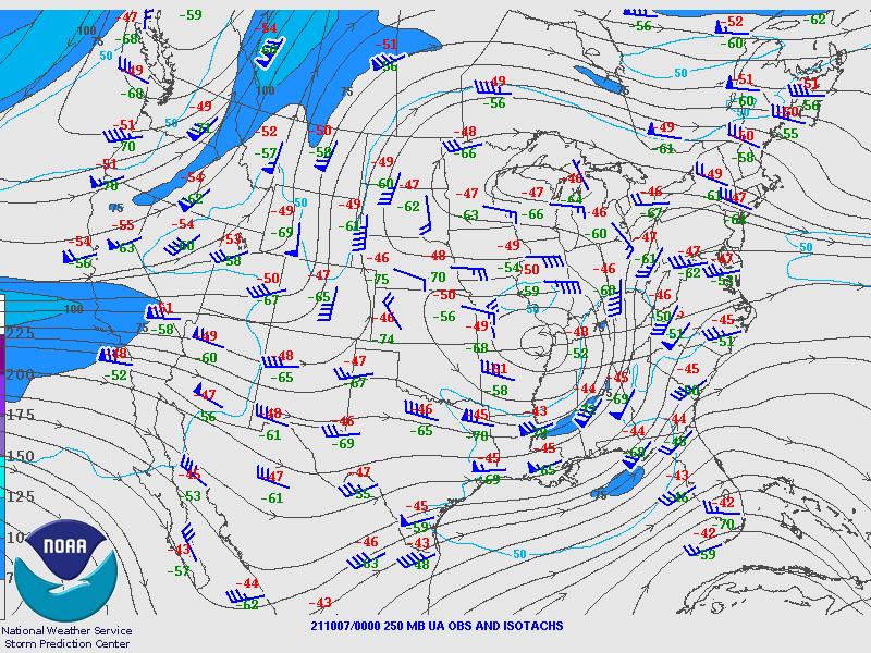
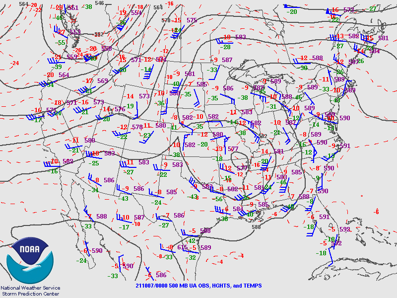
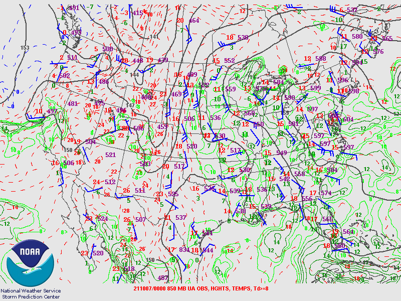
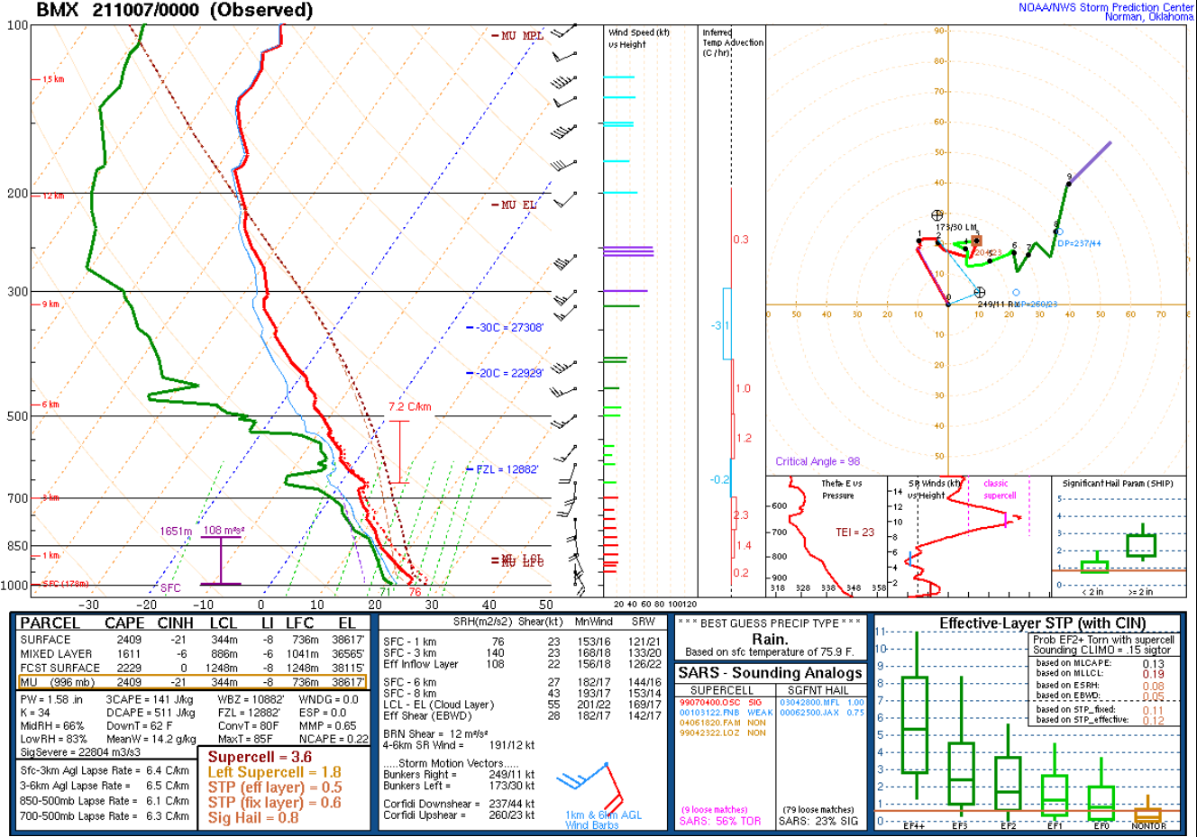
An upper level low, stuck atop the Southeastern U.S. due to a blocking area of high pressure toward its north, known as a Rex Block, brought several days of off and on showers and storms to Central Alabama, focused from October 2nd through early October 7th. This was a less-than-welcome weather pattern considering several rainy periods in months prior. There were multiple instances of heavy rain and flooding while the upper low spun overhead, with the most impactful flooding taking place during the evening of October 6th. Torrential, training rain and thunderstorms produced excessive rain totals from Shelby County and Jefferson County in NWS Birmingham's forecast area, northeastward to Marshall County in NWS Huntsville's forecast area. This flood event resulted in four fatalities: 2 in Marshall County and 2 in Shelby County. Both cases involved a vehicle swept off the roadway. During the evening of the 6th, a surface and low-level boundary set up across parts of Central and North Alabama with 20-30 knots of southeasterly flow aiding in the production and backbuilding of heavy rain. Over the course of just a few hours, a wide swath of 6-10 inches of rain occurred. Locally higher amounts were indicated by a few backyard weather stations, of which reported a daily total just over 10 inches near the Jefferson County / Shelby County line in the vicinity of Highway 31 and Interstate 65. A similar band also occurred from northern Blount County into Marshall County. This rain fell onto already saturated ground. For the NWS Birmingham forecast area, by far the most severe flooding occurred from Birmingham southward, including Vestavia Hills, Hoover, Helena, Pelham, and immediate surrounding areas. Numerous roads became submerged and impassable. Countless water rescues were performed as travelers either became trapped by or drove into flood waters. Flood water several feet deep impacted parts of neighborhoods and townhomes. Several businesses were damaged by flooding. Extreme runoff also caused creeks and other waterways to rapidly swell. There was at least one report of a partial landslide in Pelham, sending dirt, rocks, and pine trees onto the road. A Flash Flood Watch had already been in place for a few days, highlighting the potential for flooding rainfall. Heading into the culmination of this event, a Flash Flood Warning was issued for northwest Shelby County and much of Jefferson County considering radar and rain gauges showed high rainfall rates, and antecedent conditions. The warning was upgraded to 'considerable' and then 'catastrophic' as multiple back to back waves of heavy rain were projected to move over the same areas. At least four rounds occurred, with ongoing and forecast impacts pushing the event to the highest level of flash flood warning, a Flash Flood Emergency. Scanner traffic became nonstop with public calls for help and first responder needs for mutual aid and resources. Even after the rain drew to a close around the midnight hour, severe flooding persisted for many hours ahead. In NWS Birmingham's forecast area, additional significant flash flooding occurred in northern Blount County during the evening of the 6th, submerging multiple roads and stranding motorists. This was an extreme flooding event for Central Alabama, so much so that local news stations went into wall to wall weather coverage, and accounts from residents and first responders included statements along the lines of never having seen or experienced such flooding. |
|
|
|
| Here is a collection of reports (photos/videos) received on Twitter. |
|
View larger map |
|
|
|
|
|
|
|
|
|
|
|
|
|
|
|
|
|
|
|
|
|
|
|
|
|