Alabama Tornado Database |
|||||||||||
| 1975 Tornado Occurrences (35) () Indicates Total Path Data Multi-State | |||||||||||
| Tornado # of Year | Year | Month | Day | Time (CST) | County | Damage Scale | Path Length (Miles) | Maximum Path Width (Yards) | Fatalities | Injuries | Location |
| 35 | 1975 | 11 | 6 | 1550 | Baldwin | F0 | 0.1 | 10 | 0 | 0 | Lillian Several trees were blown down. Barns and outbuildings were damaged. Start: 30.40/-87.45 End: 30.40/-87.45 |
| 34 | 1975 | 11 | 6 | 1230 | Mobile | F1 | 0.1 | 10 | 0 | 1 | Irvington One car was overturned with its occupant injured. Several homes sustained roof damage. Barns and outbuildings were damaged. Several trees were blown down. Start: 30.50/-88.27 End: 30.50/-88.27 |
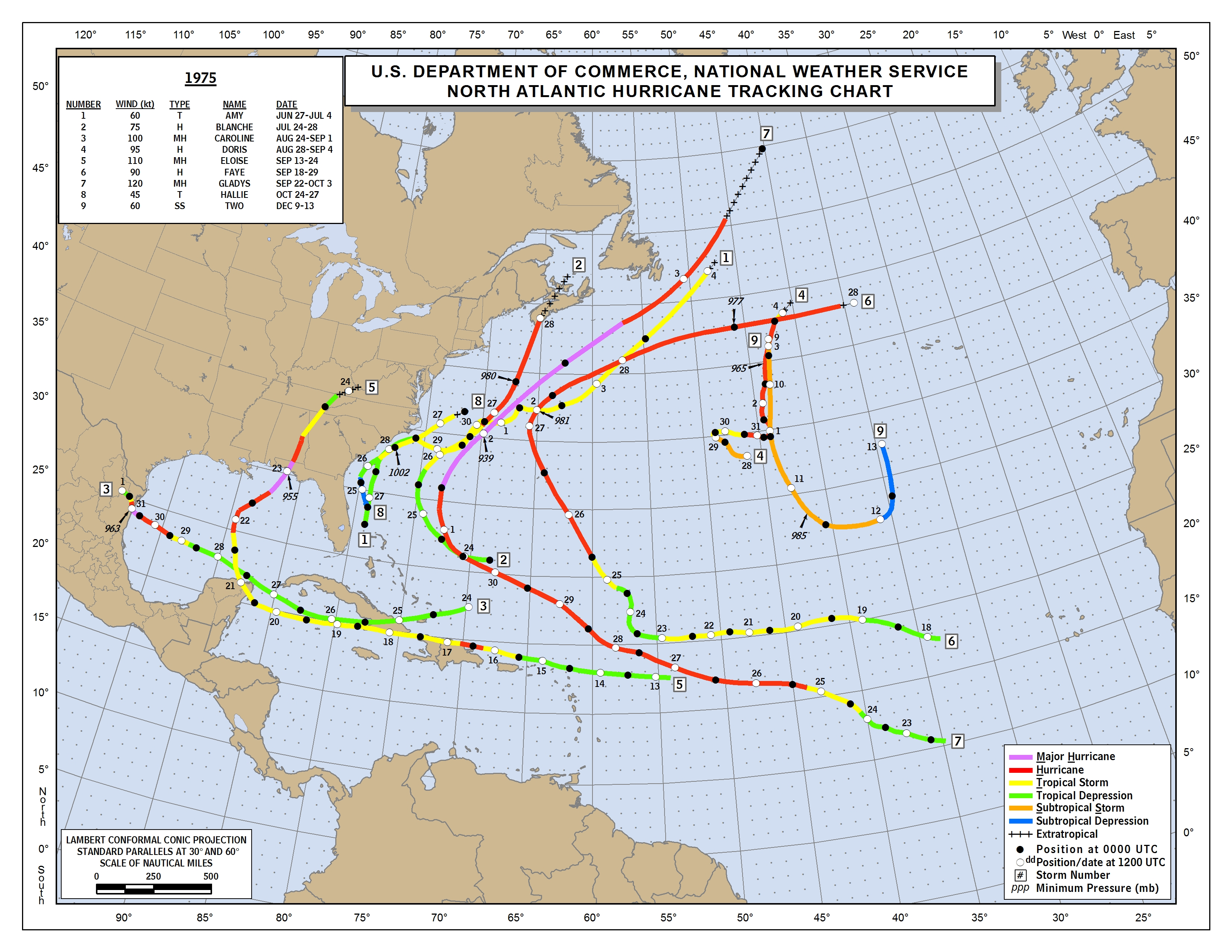
| 33 | 1975 | 10 | 17 | 0530 | Coffee Tropical Depression 12 Tropical Season 1975 Atlantic Tropical Map |
F0 | 0.1 | 10 | 0 | 0 | Mt Pleasant One store and one chicken house were damaged. One chicken house was destroyed. Start: 31.40/-85.98 End: 31.40/-85.98 |
| 32 | 1975 | 10 | 17 | 0140 | Houston Tropical Depression 12 Tropical Season 1975 Atlantic Tropical Map |
F1 | 0.1 | 10 | 0 | 0 | Dothan One home was destroyed and 4 others were heavily damaged. Start: 31.23/-85.37 End: 31.23/-85.37 |
| 31 | 1975 | 6 | 17 | 1620 | Conecuh | F0 | 0.1 | 10 | 0 | 0 | 15 E Evergreen Small tornado touched down with little to no damage. Start: 31.43/-86.68 End: 31.43/-86.68 |
| 30 | 1975 | 5 | 8 | 2148 | Marshall | F1 | 0.1 | 10 | 0 | 0 | Boaz 2 homes were damaged and 4 barns were damaged. Start: 34.17/-86.17 End: 34.17/-86.17 |
| 29 | 1975 | 4 | 30 | 1500 | Escambia | F1 | 0.3 | 20 | 0 | 0 | Atmore Winds were recorded at 89 mph. One hangar and one aircraft were damaged. Start: 31.03/-87.50 End: 31.03/-87.50 |
| 28 | 1975 | 4 | 10 | 0300 | Escambia | F1 | 0.3 | 20 | 0 | 0 | Porch One trailer was demolished. Numerous trees were blown down. Start: 31.10/-87.52 End: 31.10/-87.52 |
| 27 | 1975 | 4 | 2 | 1730 | Tallapoosa | F1 | 0.1 | 10 | 0 | 0 | Dadeville-Camp Hill 3 homes and several barns damaged. Powerlines and trees downed. Start: 32.82/-85.70 End: 32.82/-85.70 |
| 26 | 1975 | 3 | 29 | 0605 | Blount | F1 | 3.0 | 30 | 0 | 3 | 5.8 NNE Blountsville-9 NE Blountsville 3 persons received minor injuries and 1 house was unroofed. 18 cotton trailers were blown across U.S. 231 blocking the highway. Start: 34.16/-86.55 End: 34.19/-86.50 |
| 25 | 1975 | 3 | 18 | 1720 | Tuscaloosa | F1 | 2.0 | 50 | 0 | 0 | Tuscaloosa Several homes damaged in the Hillsdale and Arcadia subdivisions. Start: 33.20/-87.50 End: 33.21/-87.47 |
| 24 | 1975 | 3 | 13 | 1952 | Covington Started in Florida |
F1 (F1) |
9.3 (18.5) |
880 (880) |
0 (0) |
0 (0) |
Lockhart-Florala One hangar at the Florala Airport was heavily damaged along with several aircraft. Several homes were damaged and a large radio tower was toppled. Start: 31.00/-86.37 End: 31.07/-86.23 |
| 23 | 1975 | 3 | 13 | 1755 | Baldwin | F1 | 0.1 | 10 | 0 | 0 |
Daphne |
| 22 | 1975 | 3 | 13 | 1555 | Chilton | F1 | 1.0 | 50 | 0 | 0 | Jemison Several roofs were blown off businesses and a home was moderately damaged. Start: 32.97/-87.7562 End: 32.97/-86.75 |
| 21 | 1975 | 3 | 13 | 1445 | Tuscaloosa | F0 | 0.5 | 50 | 0 | 0 | Tuscaloosa Trees and powerlines were blown down. Start: 33.13/-87.62 End: 33.13/-87.62 |
| 20 | 1975 | 3 | 7 | 1730 | Russell | F0 | 0.3 | 50 | 0 | 0 | Hatchechubbee Little or no damage reported. Start: 32.27/-85.27 End: 32.27/-85.27 |
| 19 | 1975 | 2 | 23 | 1435 | Calhoun | F0 | 1.0 | 100 | 0 | 0 | Anniston Public reported a tornado on the ground briefly in the Blue Mountian Community about 3 miles north of Anniston. No known damage. Start: 33.67/-85.83 End: 33.67/-85.83 |
| 18 | 1975 | 2 | 23 | 1345 | Tuscaloosa Storm Information |
F4 | 14.4 | 500 | 1 | 49 | Taylorville-Holt Small frame homes were leveled across south Tuscaloosa. Over the entire path, 289 homes, 20 businesses, and 21 trailers were destroyed or heavily damaged. Start: 33.08/-87.60 End: 33.25/-87.45 |
| 17 | 1975 | 2 | 23 | 1320 | Cullman | F2 | 2.0 | 10 | 0 | 1 | Jones Chapel 4 trailers and 23 homes were damaged or destroyed. One church was unroofed. Start: 34.20/-87.06 End: 34.22/-87.04 |
| 16 | 1975 | 2 | 23 | 1230 | Walker | F2 | 1.0 | 100 | 0 | 0 | 20 NE Jasper A tornado destroyed two homes and a mobile home in a rural area about 20 miles northeast of Jasper. Start: 34.07/-87.00 End: 34.07/-87.00 |
| 15 | 1975 | 2 | 16 | 1030 | Baldwin | F2 | 1.0 | 200 | 0 | 0 | Pine Grove Six chicken houses were destroyed. A feedmill and garage were destroyed. Several homes, a warehouse, and 3 barns were unroofed. Start: 30.87/-87.77 End: 30.87/-87.77 |
| 14 | 1975 | 2 | 16 | 1015 | Baldwin | F1 | 1.0 | 100 | 0 | 0 | 6 SW Bay Minette A tornado struck the Crossroads Community where one mobile home was destroyed and there was heavy roof damage to a house. Start: 30.83/-87.87 End: 30.83/-87.87 |
| 13 | 1975 | 1 | 10 | 1830 | Cleburne Storm Information |
F1 | 0.1 | 50 | 0 | 1 | Ranburne The tornado touched down briefly in Ranburne damaging six large chicken houses and completely demolishing a nearby house trailer. The house trailer was lifted over a parked car and carried about 60 ft through the air. About 25,000 chickens were lost along with equipment inside broiler houses. Start: 33.53/-85.30 End: 33.53/-85.30 |
| 12 | 1975 | 1 | 10 | 1830 | Lee Storm Information |
F2 | 0.1 | 10 | 0 | 0 | Opelika-Salem 3 homes were totally destroyed along Highway 77. 5 trailers were demolished and 22 homes were damaged. Start: 32.60/-85.23 End: 32.60/-85.23 |
| 11 | 1975 | 1 | 10 | 1800 | Macon Storm Information |
F2 | 1.0 | 100 | 0 | 9 | Cotton Valley 17 homes were destroyed and 28 homes were damaged. Start: 32.30/-85.68 End: 32.30/-85.68 |
| 10 | 1975 | 1 | 10 | 1650 | Montgomery Storm Information |
F2 | 2.0 | 100 | 0 | 0 | Montgomery The tornado damage path was non-continuous. The intial touchdown occurred at Dannelly Field Airport. Here, two buildings were destroyed and a hangar door blown in completely destroying one helicopter and extensively damaging two airplanes. Over 30 vehicles were damaged in the parking lot with fences and superficial structures blown down near the terminal building. About a mile northeast of the airport, a roof was blown off a truck repair center damaging several trucks. A third area of light damage was noted about 2 miles northeast of the airport. Start: 32.30/-86.40 End: 32.32/-86.37 |
| 9 | 1975 | 1 | 10 | 1645 | Autauga Storm Information |
F1 | 0.1 | 10 | 0 | 0 | Prattville A tornado was reported by the public in Prattville where it demolished one mobile home. Start: 32.47/-86.48 End: 32.47/-86.48 |
| 8 | 1975 | 1 | 10 | 1615 | Baldwin Storm Information |
F1 | 0.1 | 10 | 0 | 0 | Near Loxley A tornado touched down 15 miles south of Bay Minette. Damage was limited to around 40 pine trees down. Start: 30.63/-87.78 End: 30.63/-87.78 |
| 7 | 1975 | 1 | 10 | 1614 | St. Clair Storm Information Storm Report |
F3 | 18.8 | 150 | 1 | 60 | Pell City-Ragland At least 54 homes were destroyed and 307 homes were damaged. 15 trailers were destroyed and 27 businesses were damaged or destroyed. One person was killed at a service station. Start: 33.55/-86.32 End: 33.77/-86.12 |
| 6 | 1975 | 1 | 10 | 1600 | Shelby Storm Information |
F1 | 0.2 | 50 | 0 | 14 | Pelham No damage information available. Start: 33.28/-86.82 End: 33.28/-86.82 |
| 5 | 1975 | 1 | 10 | 1545 | Jefferson Storm Information |
F1 | 0.1 | 10 | 0 | 0 | Hoover A brief tornado touched down in Hoover where an apartment complex had 30-40 units severely damaged with broken windows in nearby businesses. Start: 33.42/-86.82 End: 33.42/-86.82 |
| 4 | 1975 | 1 | 10 | 1445 | Mobile Storm Information |
F1 | 0.1 | 10 | 0 | 0 | Citronelle Police reported power and telephone lines down and tree tops twisted off. Several buildings also suffered roof damage. Start: 31.10/-88.23 End: 31.10/-88.23 |
| 3 | 1975 | 1 | 10 | 1445 | Jefferson Storm Information |
F2 | 2.0 | 100 | 0 | 4 | Jonestown-Bethel-Kilgore-Bessie 4 homes and 2 trailers were destroyed. The injuries were minor. Start: 33.65/-87.03 End: 33.68/-87.03 |
| 2 | 1975 | 1 | 10 | 1445 | Marengo Storm Information |
F1 | 0.1 | 10 | 0 | 0 | Faunsdale A tornado was reported by the public near Faunsdale moving northeast at 60 mph. Several old barns were damaged with trees down. Start: 32.47/-87.60 End: 32.47/-87.60 |
| 1 | 1975 | 1 | 10 | 1430 | Tuscaloosa Storm Information |
F1 | 0.1 | 10 | 0 | 0 | Brookwood Tornado touched down destroying a mobile home and damaging several other homes and buildings. Heavy timber damage also occurred with trees twisted or snapped in two. Tornado was accompanied by a loud roar as it moved northeast. Start: 33.28/-87.28 End: 33.28/-87.28 |

