National Weather Service United States Department of Commerce


Winter Storm of January 6, 2017
Overview Surface/Upper Air Videos
Photos Snow/Sleet/Ice Totals Other Links
 

Overview

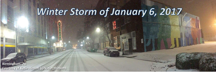
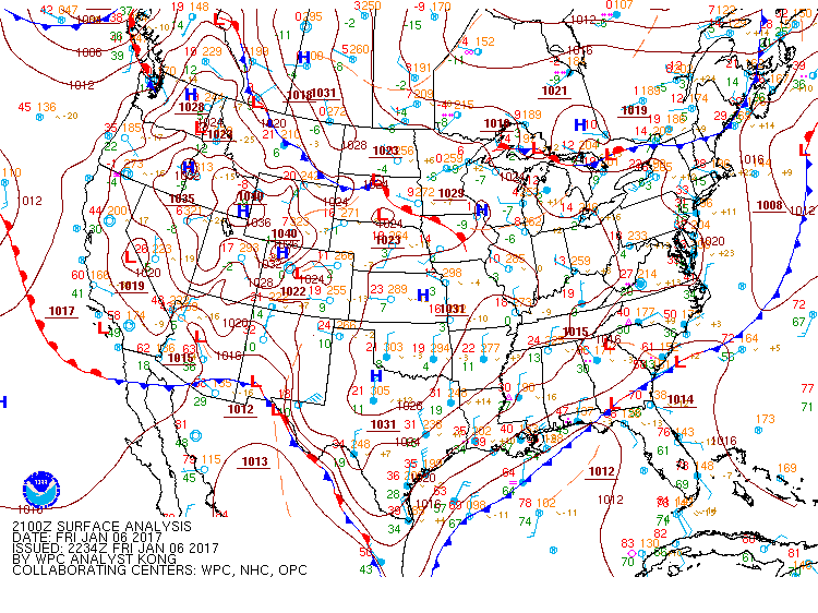
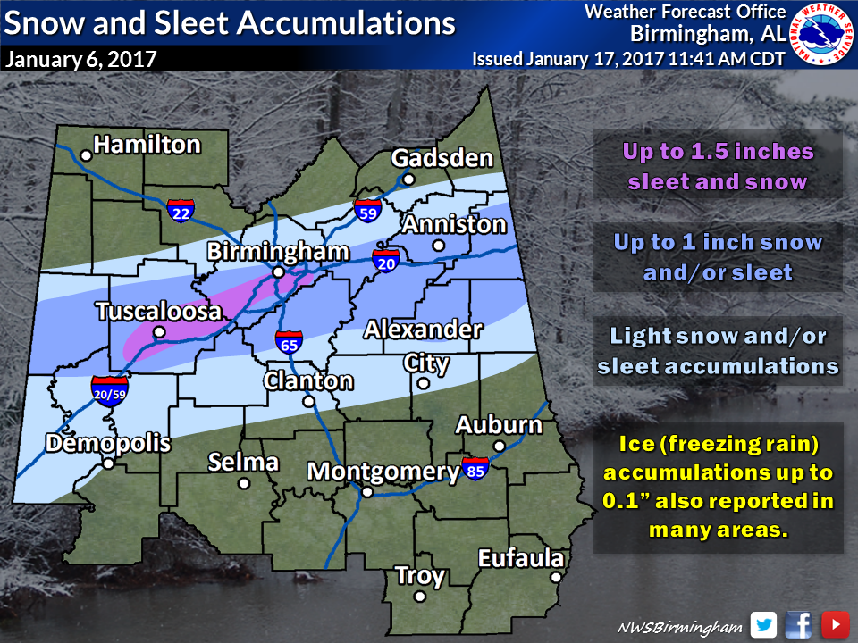
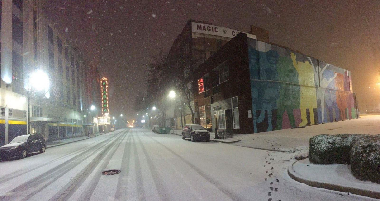
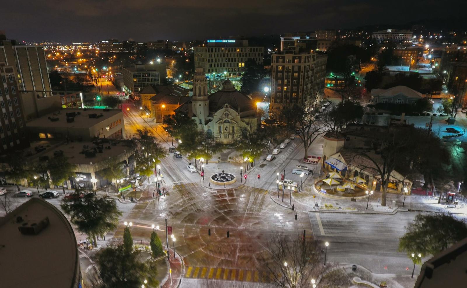
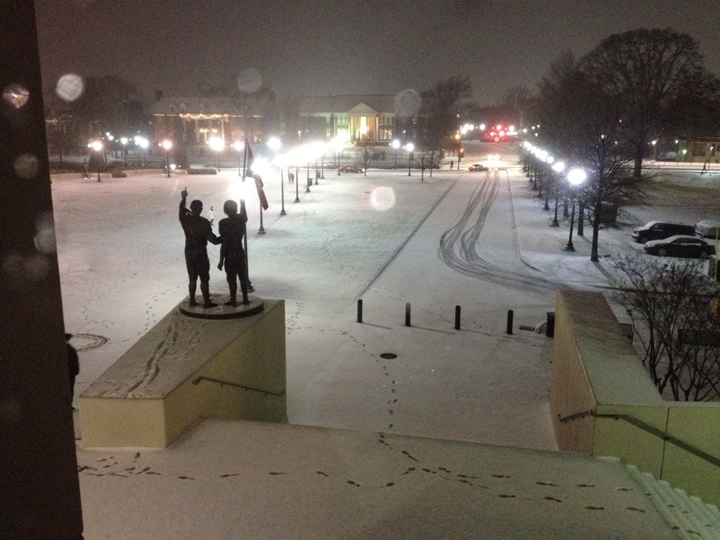
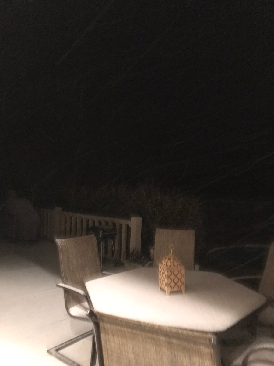
On Friday, January 6, 2017, much of Central Alabama received a mixed bag of wintry weather. This weather ranged from freezing rain to sleet to snow. The heaviest accumulations of sleet and snow occurred mainly near and south the Interstate 20 corridor. The highest amounts were observed in Tuscaloosa and Jefferson Counties, where up to 1.5 inches of sleet and snow fell.

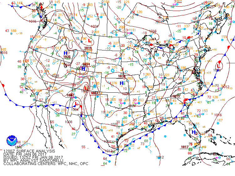
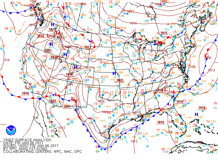
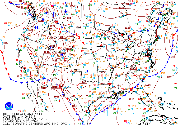
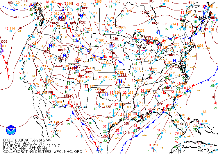
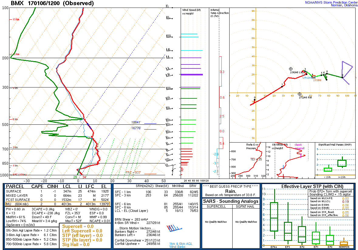
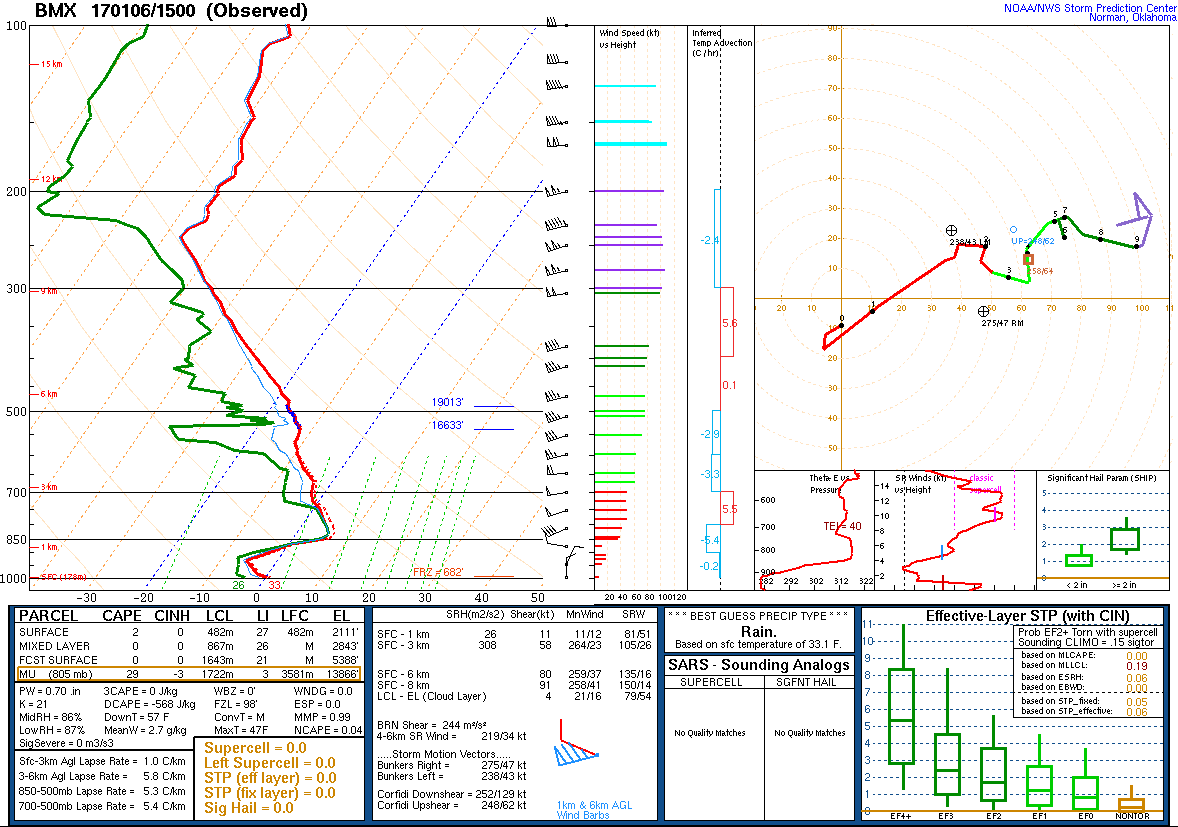
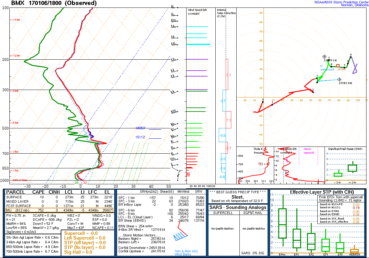
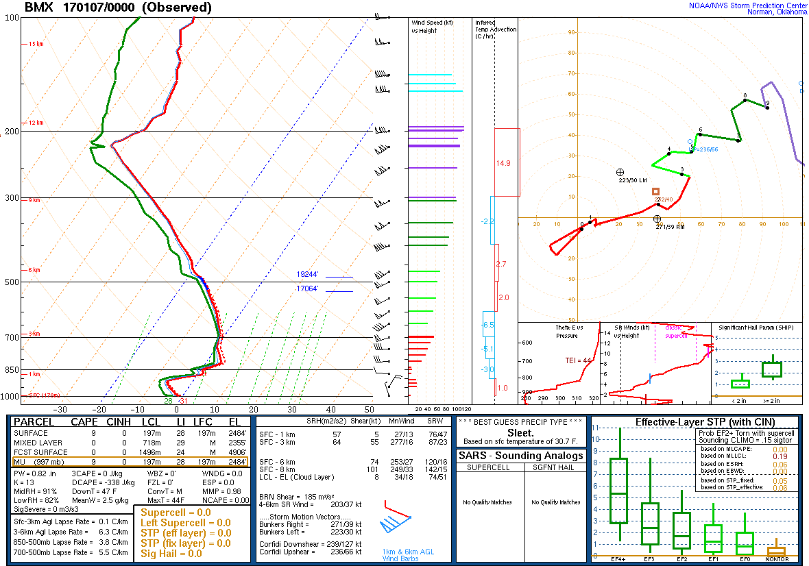
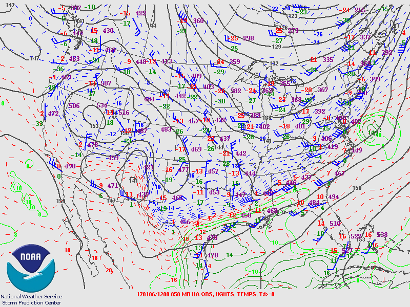
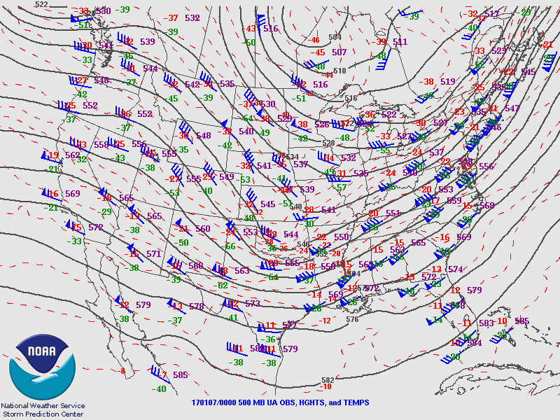
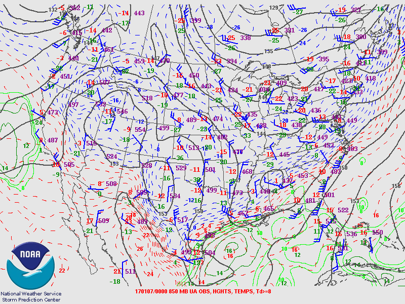
An Arctic airmass began invading the region 12 to 24 hours prior to the onset of the precipitation which arrived by late morning. Cold air advection continued during the morning and into the afternoon and evening as the freezing line moved southward through the precipitation shield. Wet bulbing also aided in the cooling process as drier Arctic air was fed in from the north.

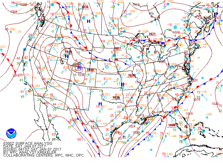
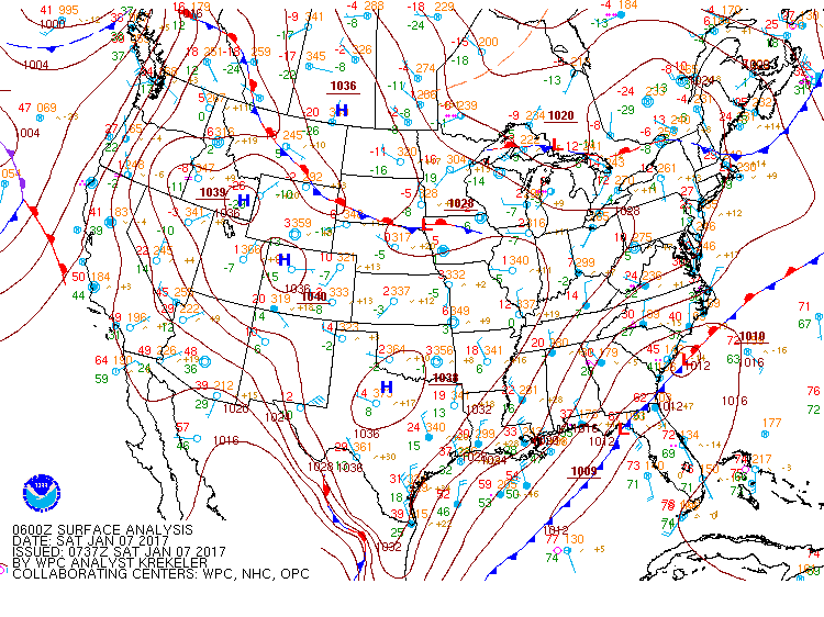
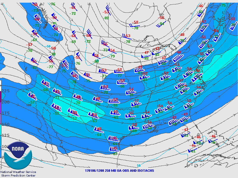
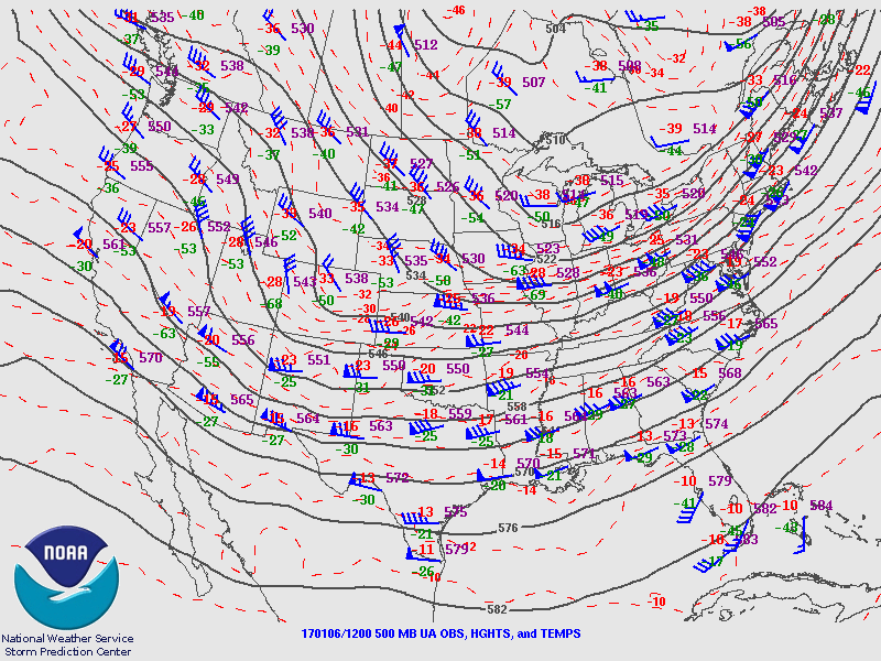
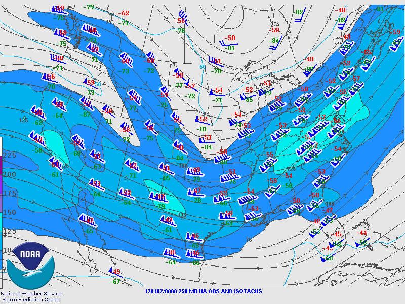
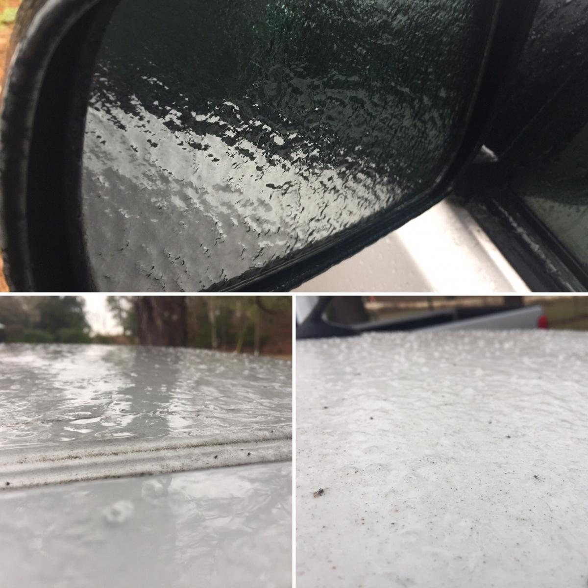
An upper level shortwave trough over the Plains combined with an abundance of moisture lurking near the Gulf Coast to result in precipitation generated by isentropic lift, or warm air advection, focused near the 750 mb level. The associated warm nose at that level caused most of the wintry precipitation to fall as sleet and freezing rain instead of snow. Precipitation rates became heavier during the late afternoon and evening which resulted in strong enough diabatic cooling, or cooling aided by the melting process, for sleet to change to snow mainly along and just north of Interstate 20. Temperatures by this point were well below freezing, and impacts became more significant. After the precipitation ended, impacts continued to increase as temperatures plunged into the teens and 20s. This caused many roads to become dangerous and impassible overnight Friday night into Saturday morning.

Surface/Upper Air

Surface Charts

Surface Chart at 6am Jan 6th

6 AM Jan 6th

Surface Chart at 9am January 6th

9 AM Jan 6th

Surface Chart at 12pm Jan 6th

12 PM Jan 6th

Surface Analysis at 3pm Jan 6th

3 PM Jan 6th

Surface Analysis at 6pm Jan 6th

6 PM Jan 6th

Surface Chart at 9pm Jan 6th

9 PM Jan 6th

Surface Chart at 12am Jan 7th

12 AM Jan 7th


KBMX Upper Air Soundings

KBMX Sounding at 6am Jan 6th

6 AM Jan 6th

KBMX Sounding at 9am Jan 6th

9 AM Jan 6th

KBMX Sounding at 12pm Jan 6th

12 PM Jan 6th

KBMX Sounding at 6pm Jan 6th

6 PM Jan 6th


Upper Air Charts

250mb Chart at 6am Jan 6th

250 mb Chart at 6 AM Jan 6th

500mb Chart at 6am Jan 6th

500 mb Chart at 6 AM Jan 6th

850mb Chart at 6am Jan 6th

850 mb Chart at 6 AM Jan 6th

250mb Chart at 6pm Jan 6th

250 mb Chart at 6 PM Jan 6th

500mb Chart at 6pm Jan 6th

500 mb Chart at 6 PM Jan 6th

850mb Chart at 6pm Jan 6th

850 mb Chart at 6 PM Jan 6th

 
Snow, Sleet & Ice Totals

Preliminary Snowfall Totals

For a complete list of all snow reports received during/after the event, click here.

 
Photos
 

Birmingham
Courtesy of Katie Hinson

Five Points South
Courtesy of Alabama Aerial Photography

University of Alabama
Courtesy of Richard Scott (WVUA23)

Reform
Courtesy of Chip Brownlee

Anniston
Courtesy of Nathan Young

Calera
Courtesy of Andy Milstead

Shades Mtn - Hoover
Courtesy of Mary-Carol Lear


Videos

University of Alabama campus - Courtesy of Danielle Davis (@DanielleDavisWx)

Birmingham - Courtesy of Adrian Castellano (@AdrianWVTM13)

Coker (Tuscaloosa Co) - Courtesy of Scott Light (@ScottLight3)


Other Links