
Scattered thunderstorms with severe gusts, hail and a tornado risk are possible near a cold front from the Ohio Valley to the Mid-Atlantic tonight. Tropical Storm Bertha is expected to bring tropical storm conditions to portions of the Gulf Coast from the panhandle of Florida into Louisiana through Wednesday. Read More >
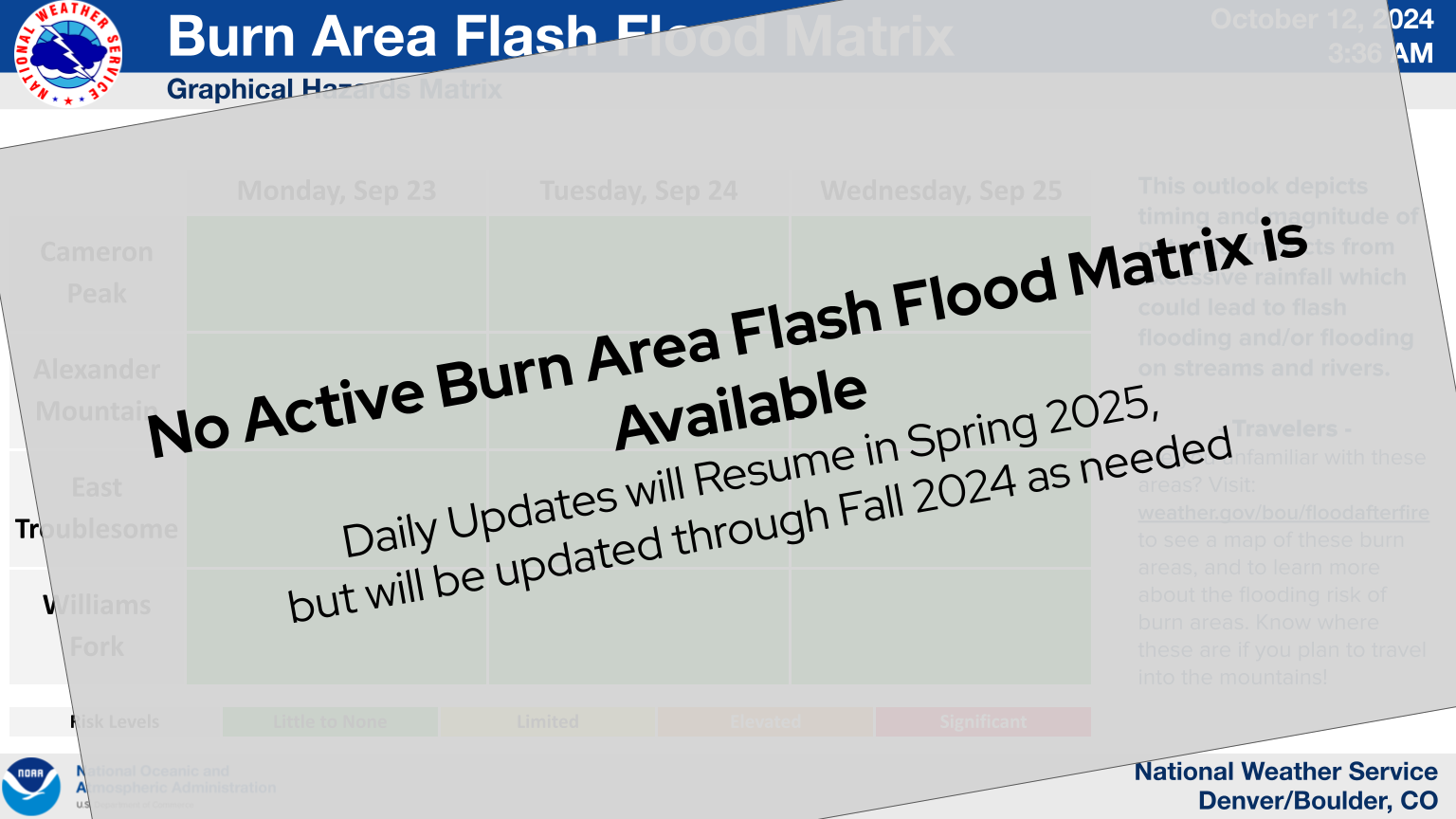
| Daily Flash Flood Threat Matrix |
 |
| Burn Scar Zoomable Map |
|
Cameron Peak Burn Scar
Fire Perimeter Map 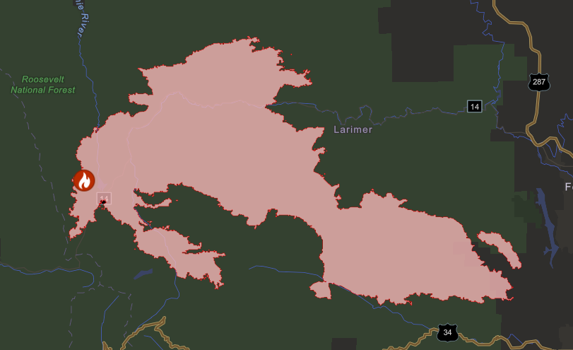
|
|
East Troublesome Burn Scar
Fire Perimeter Map 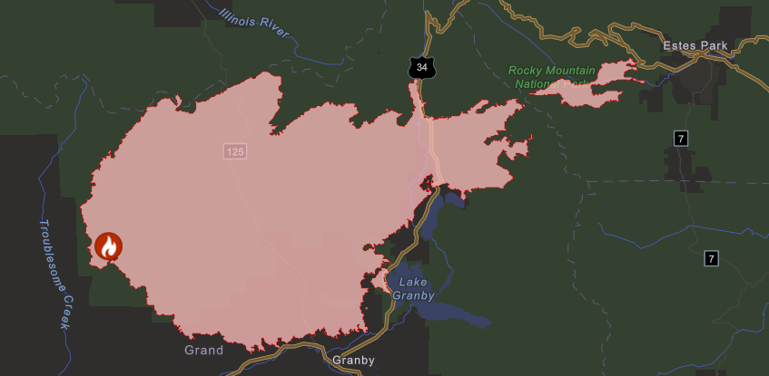
|
|
Alexander Mountain Burn Scar
Fire Perimeter Map 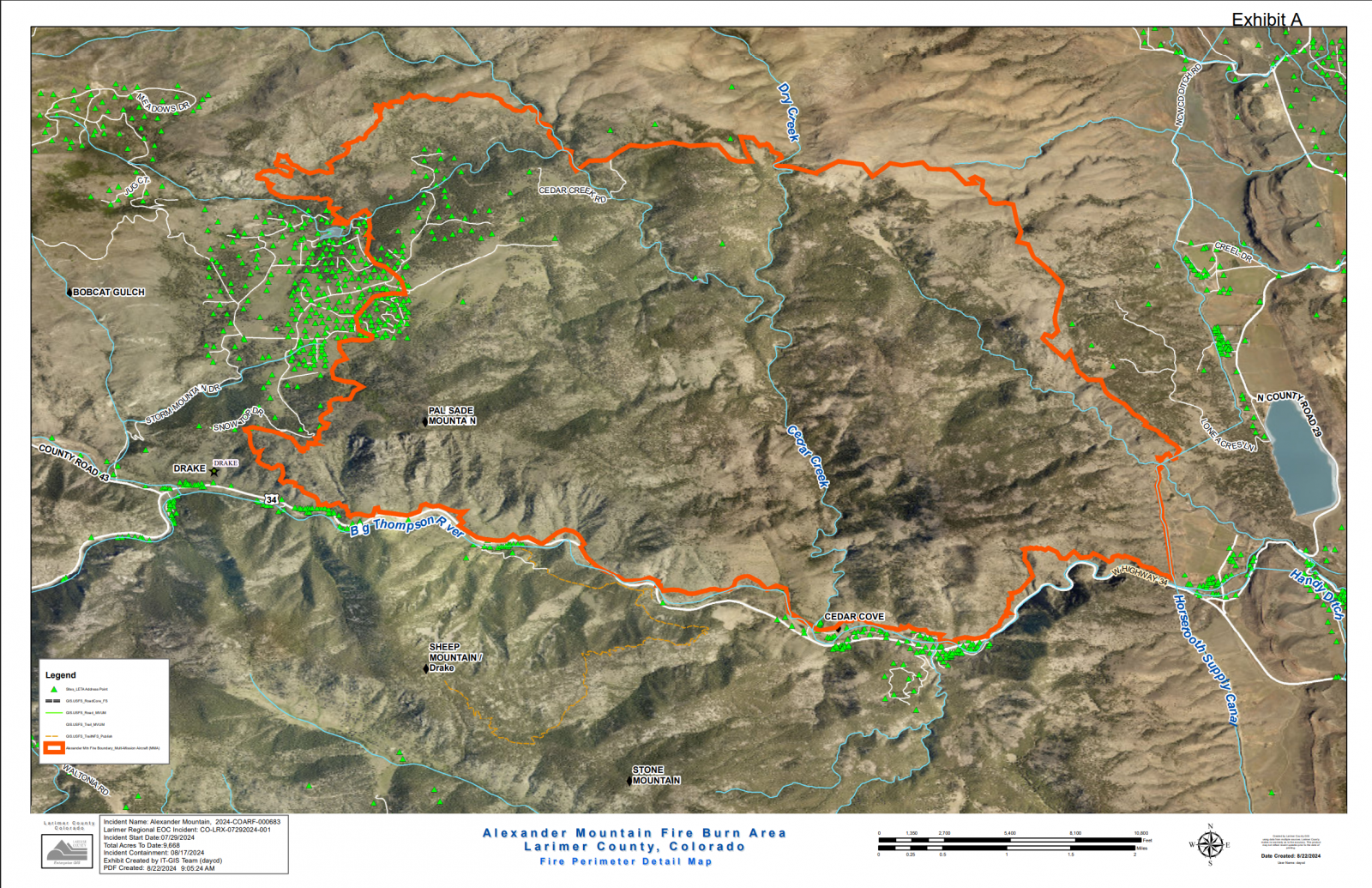
|
||||||||
|
Decker Burn Scar
Fire Perimeter Map 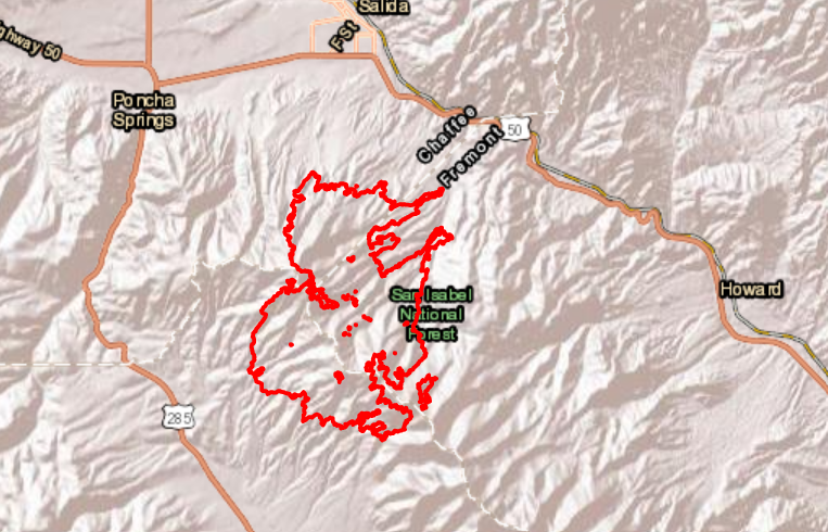
|
||||||||
|
Oak Ridge Burn Scar
Fire Perimeter Map 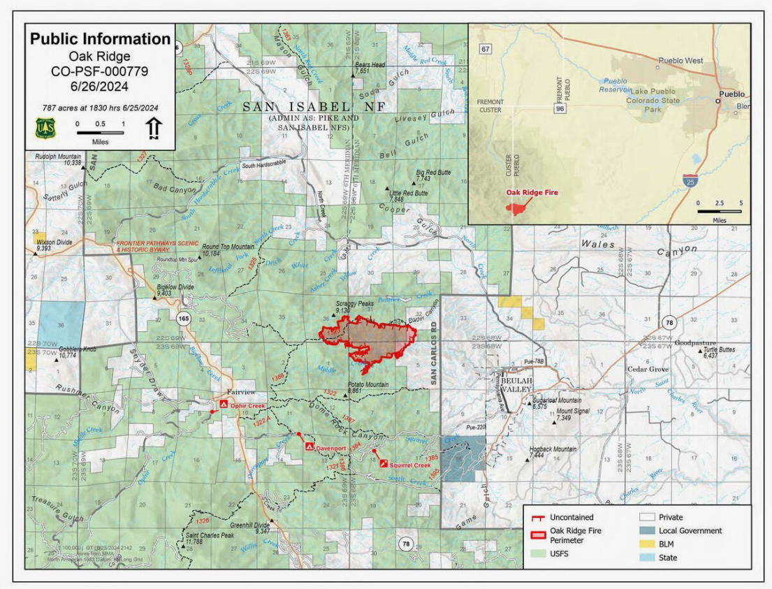
|
||||||||

