Overview
Three rain wrapped tornadoes occurred over eastern portions of Morgan county on 7/29/2018 late in the afternoon. All three were rated EF2. In addition the storms were accompanied by straight line winds of 60 to 80 mph with up to 100 mph in a few locations. Furthermore wind driven hail up to baseball size also occurred. As a result this led to widespread crop and property damage across eastern Morgan county (shaded red area) which extended into western portions of Washington county as well.
Paths of the three EF2 Tornadoes
Tornadoes:
|
Tornado #1 (Northwest of Hillrose)
Tornado #2 (2 miles east of Brush)
Tornadoes #3 (9 mi southeast of Brush)
|
||||||||||||||||||||||||||||||||||||||||||||||||
The Enhanced Fujita (EF) Scale classifies tornadoes into the following categories:
| EF0 Weak 65-85 mph |
EF1 Moderate 86-110 mph |
EF2 Significant 111-135 mph |
EF3 Severe 136-165 mph |
EF4 Extreme 166-200 mph |
EF5 Catastrophic 200+ mph |
 |
|||||
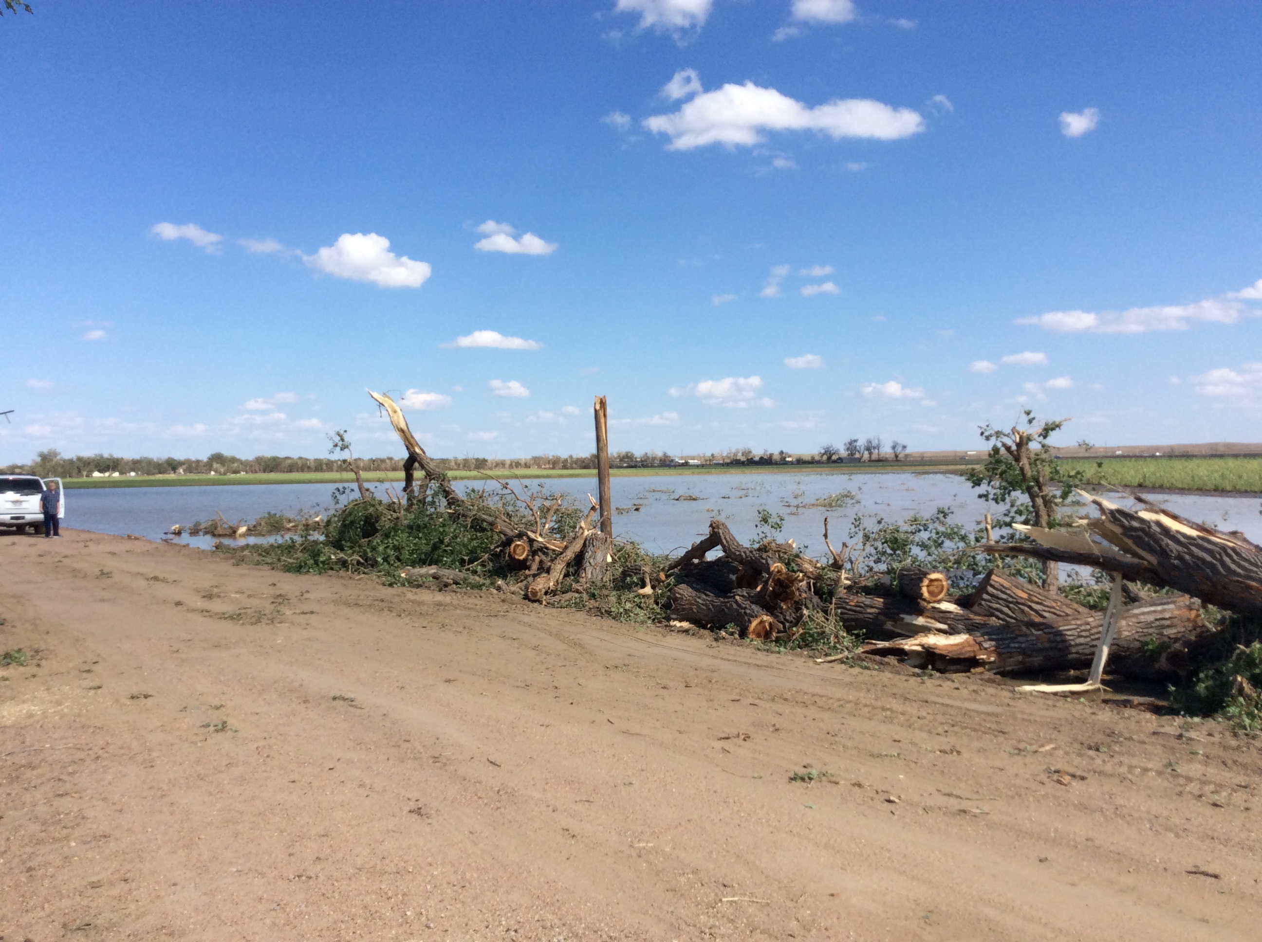
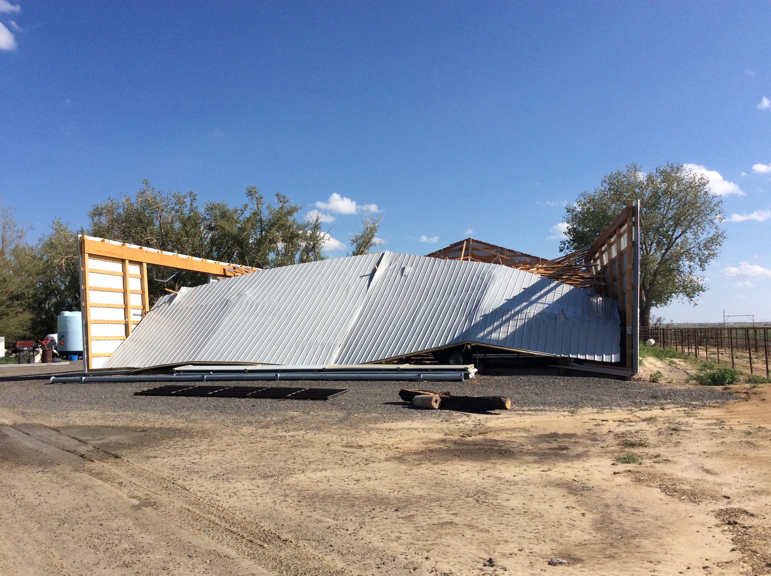
Photos:
Photos are from Morgan County.
 |
 |
 |
 |
| Northwest of Hillrose | Northwest of Hillrose. |
Northwest of Hillrose | Northwest of Hillrose |
 |
 |
 |
 |
| Straight Line Wind Damage north of Brush |
Brush Airport | Brush Airport | Brush Airport |
 |
 |
 |
 |
| Brush Airport | Brush Airport | Northeast of Brush Airport | East of Hwy 71 southeast of Brush |
Radar:
 |
| July 29th Radar Loop |
 |
Media use of NWS Web News Stories is encouraged! Please acknowledge the NWS as the source of any news information accessed from this site. |
|

