
Severe thunderstorms will remain possible in the Mid-Atlantic through Tuesday. Severe thunderstorms and heavy rain will also be possible in the central/southern Plains on Tuesday and Wednesday. Hazardous heat will linger across the southern U.S. and build across the West through mid-week. Hot and dry weather will create Elevated to Critical fire weather conditions in the Four Corners Region. Read More >
Denver/Boulder, CO
Weather Forecast Office
Overview
|
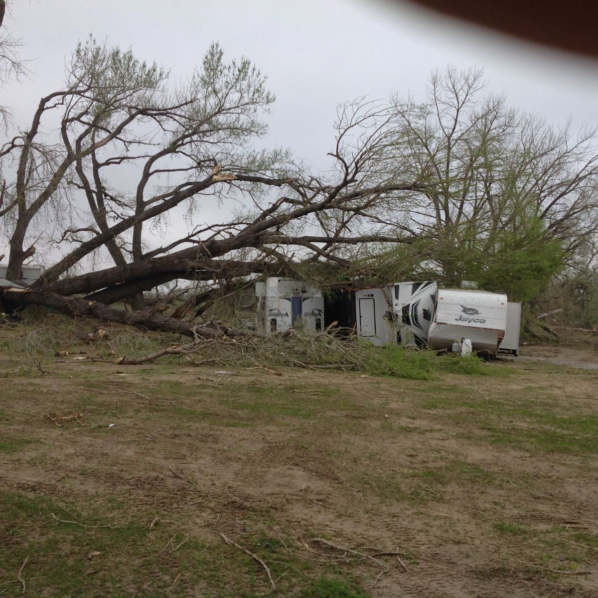
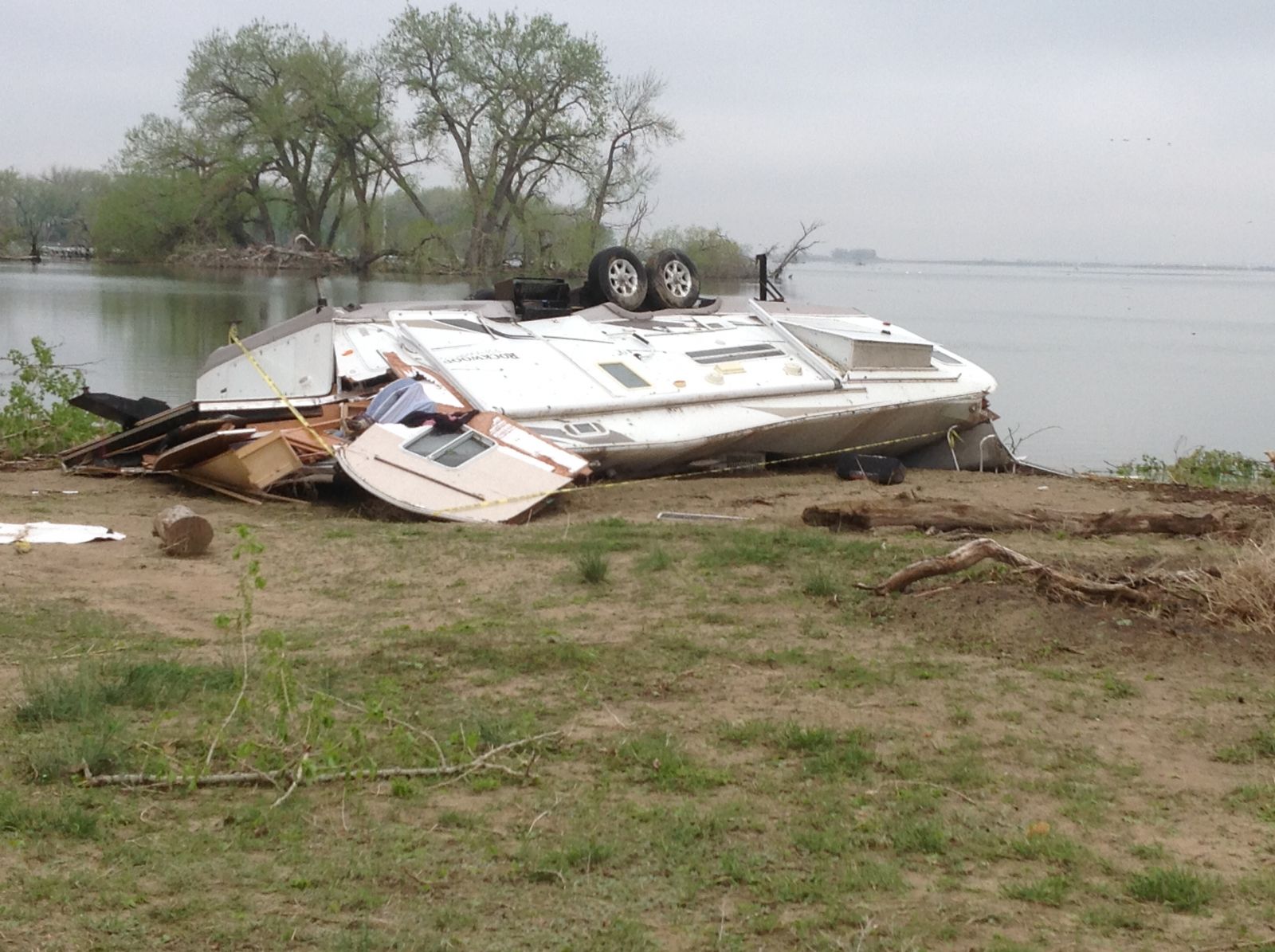
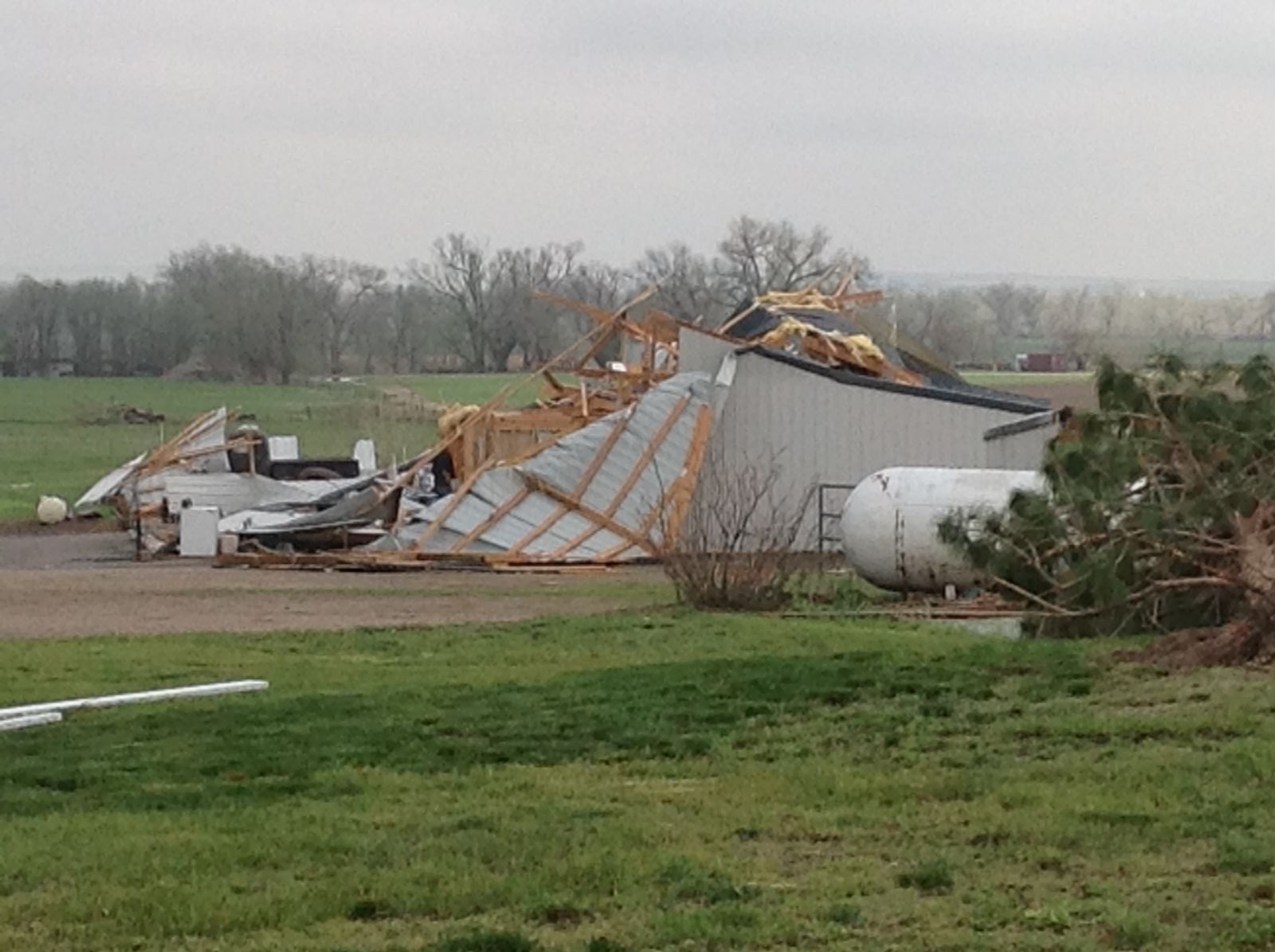
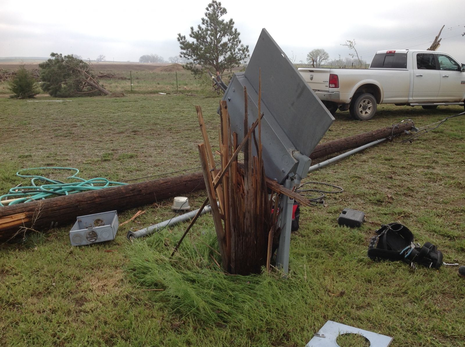
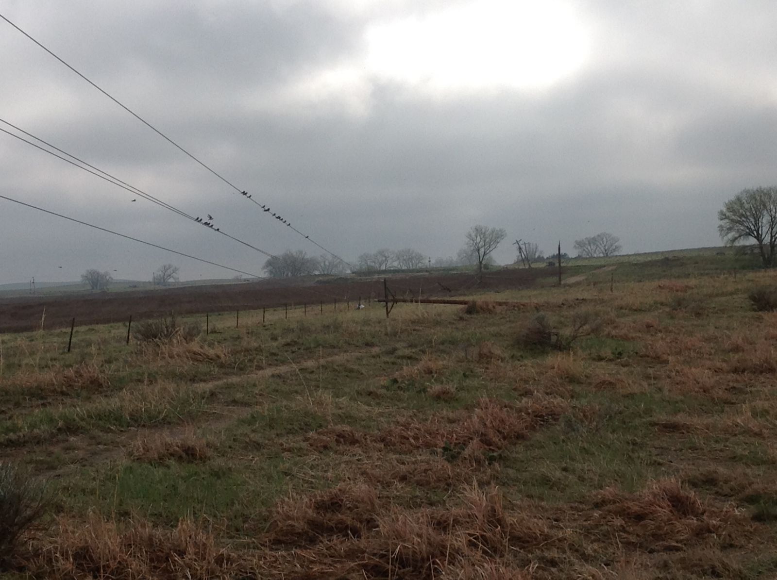
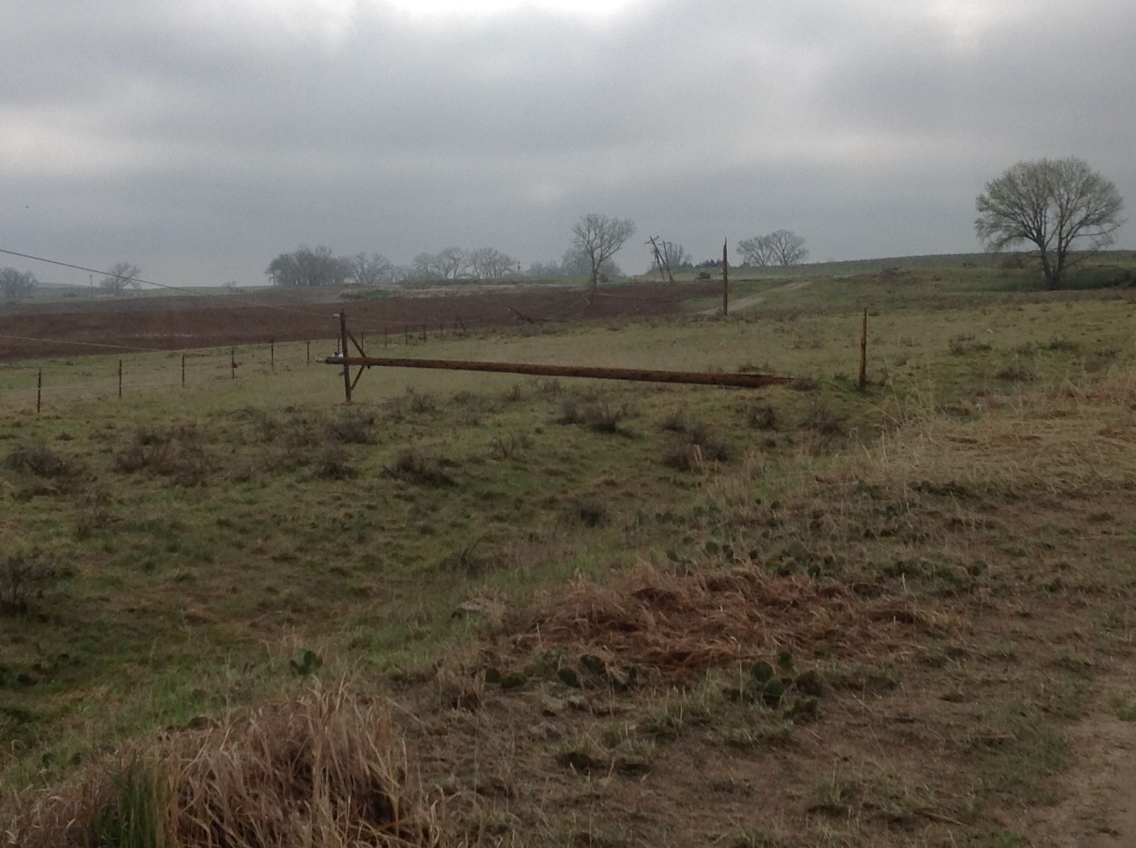
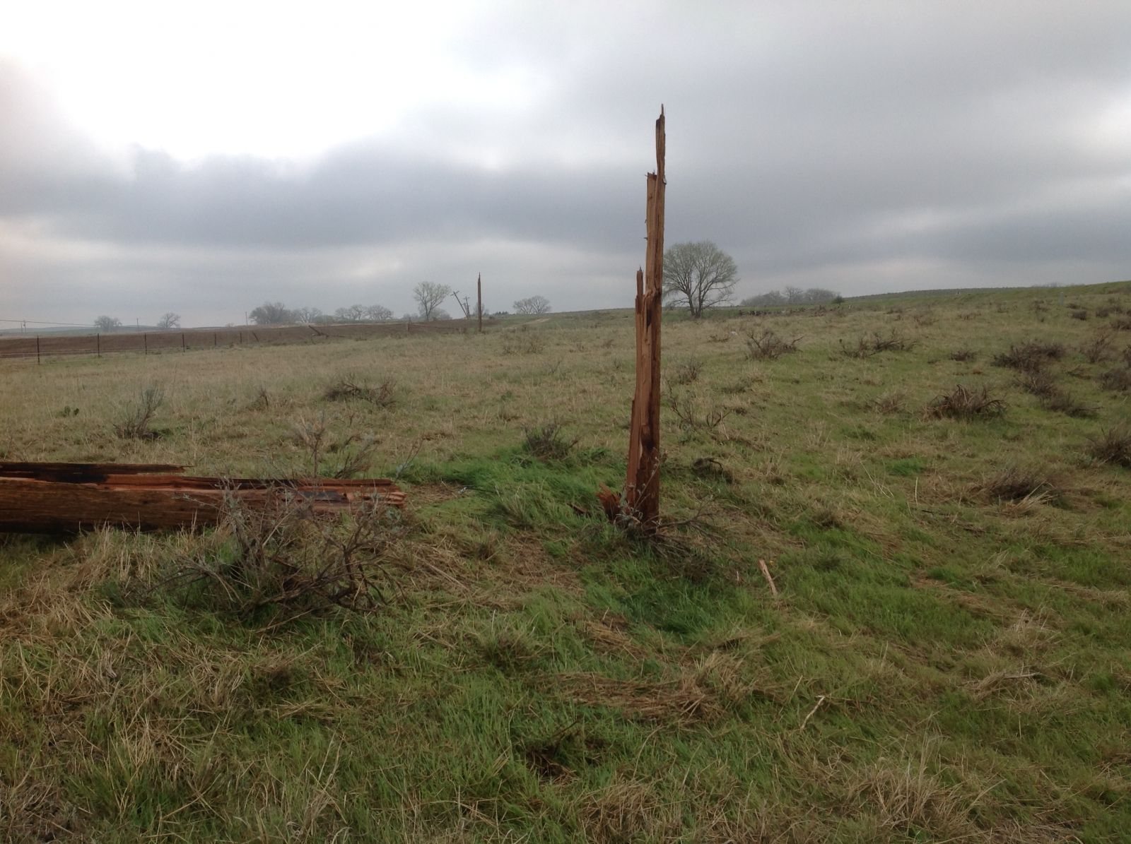
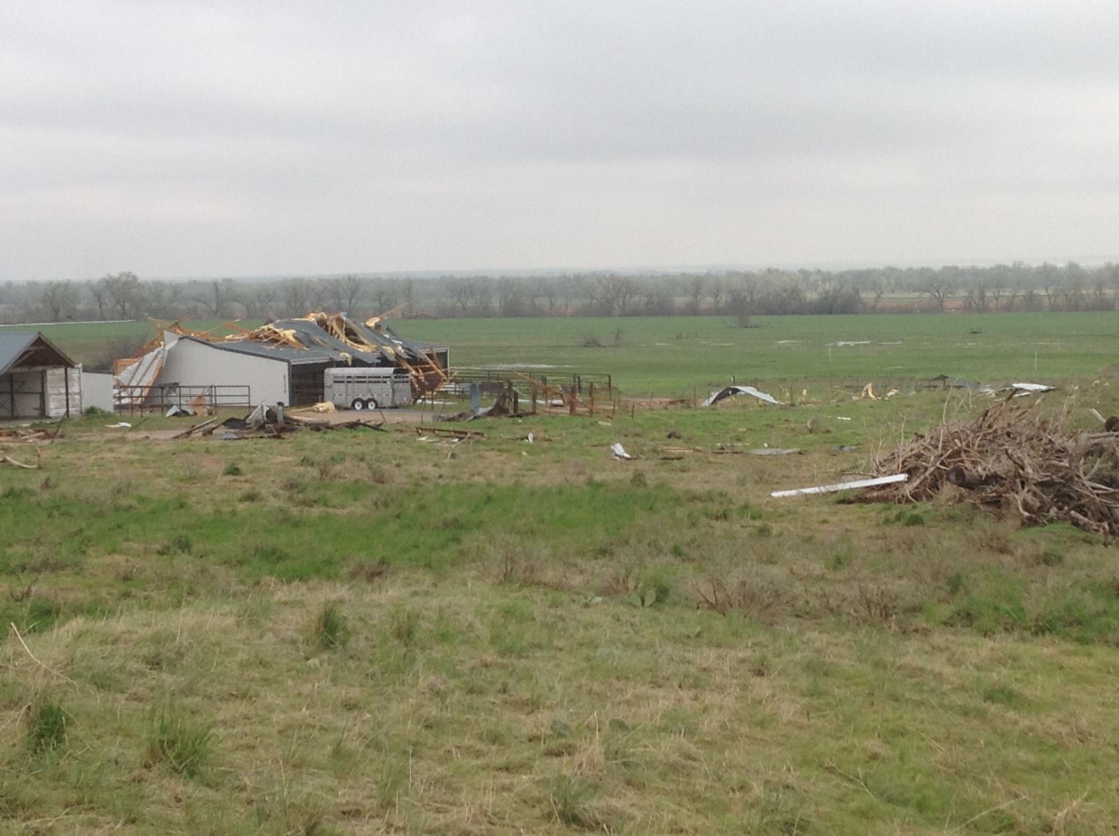
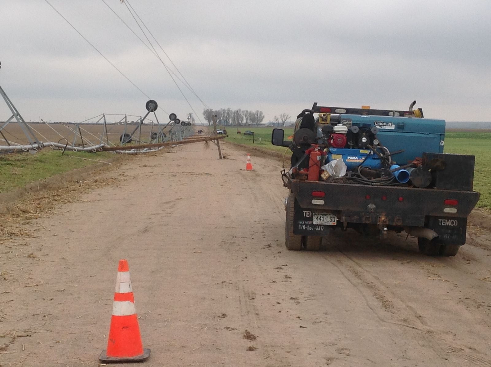
4 Tornadoes occurred on May 7th, 2016 with one over southern Weld county and 3 across western Morgan county. The most significant tornado traveled from just south of I-76 over Weld county across Empire Reservoir and then to the west of Orchard. Several campers were destroyed at Empire Reservoir along with two minor injuries. There was a few areas of EF2 damage but most was in the EF1 category. The path length was just over 8 miles with a maximum width of 1620 yards (3/4 Mile). Additional information for each tornado can be seen by clicking on the graphic on the right. |
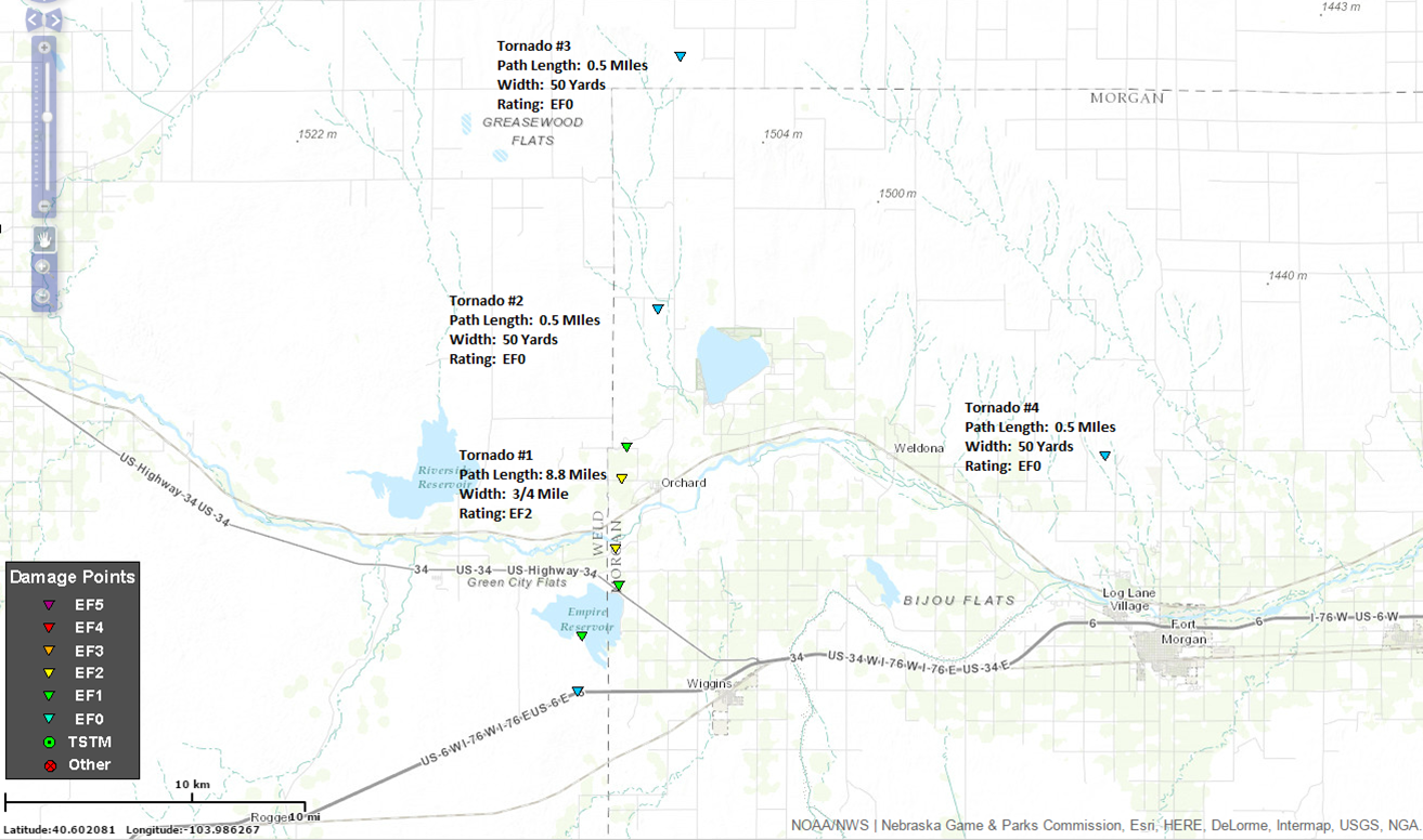 Location of May 7th Tornadoes |
Tornadoes:
The Enhanced Fujita (EF) Scale classifies tornadoes into the following categories:
| EF0 Weak 65-85 mph |
EF1 Moderate 86-110 mph |
EF2 Significant 111-135 mph |
EF3 Severe 136-165 mph |
EF4 Extreme 166-200 mph |
EF5 Catastrophic 200+ mph |
 |
|||||
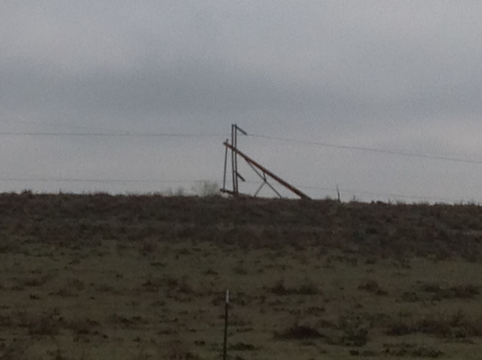
Photos & Video:

Radar:
.png)
 |
Media use of NWS Web News Stories is encouraged! Please acknowledge the NWS as the source of any news information accessed from this site. |
|
US Dept of Commerce
National Oceanic and Atmospheric Administration
National Weather Service
Denver/Boulder, CO
325 Broadway
Boulder, CO 80305-3328
303-494-3210 for a recording call 303-494-4221
Comments? Questions? Please Contact Us.

