National Weather Service United States Department of Commerce

Severe Thunderstorms in the Central and Southern Plains; Flooding Potential in the Pacific Northwest, Kansas, and Florida

Severe thunderstorms are possible in portions of the central and southern Plains, and there is potential for flooding across Kansas. In the Pacific Northwest and northern California, there is potential for isolated flash flooding from thunderstorms near burn scars and sensitive terrain. Showers and heavy rain will persist in the Florida Peninsula through midweek. Read More >

Click a location below for detailed forecast.

Last Map Update: Tue, Sep 9, 2025 at 2:06:17 am CDT
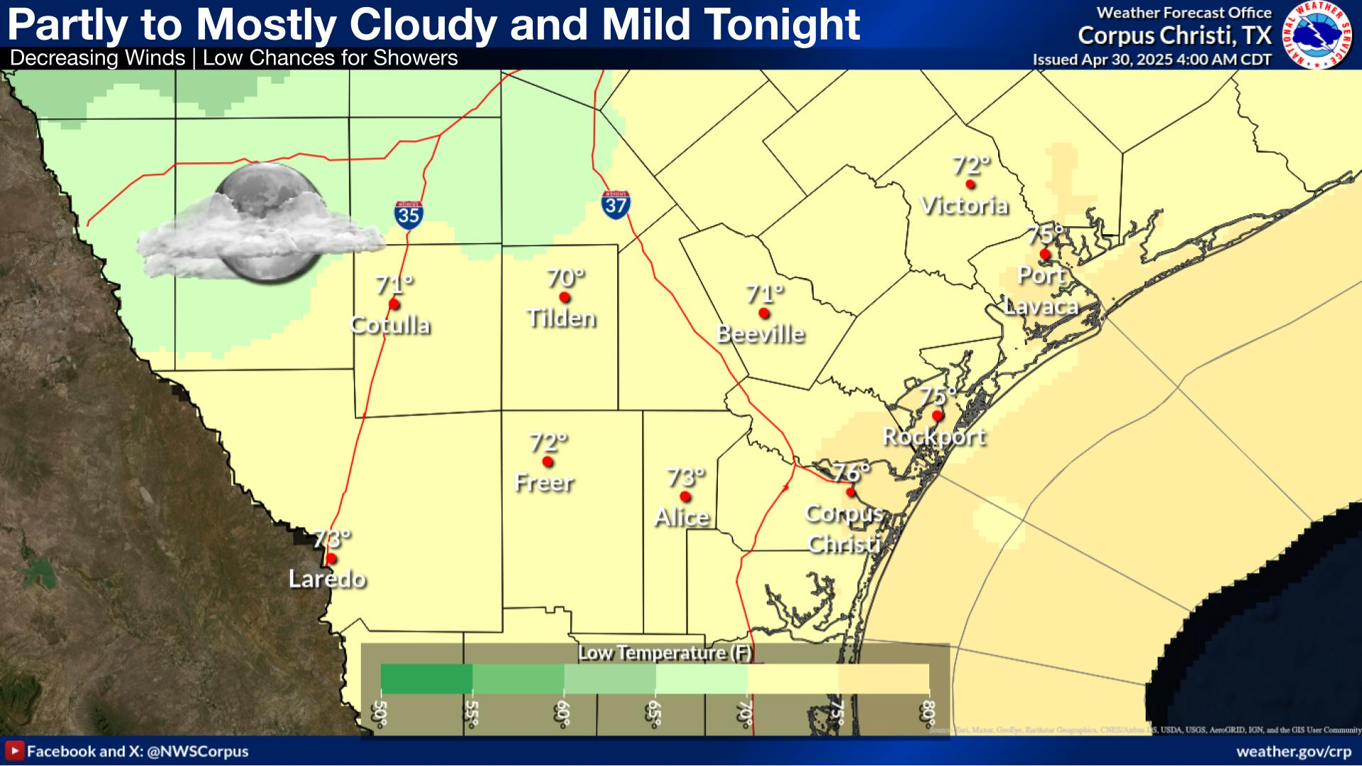
Isolated to scattered showers and thunderstorms continue this week mainly across southern portions of the region. A lingering frontal boundary and remnant moisture will lead to additional storm activity this week although rainfall totals will be less impressive with between 0.50 - 2.00 inches forecast for the week with higher amounts possible across South Texas.
Most shower activity ends by sunset leading to clearing skies. Lows will range from the mid 60s to low 70s.
Isolated to scattered showers and thunderstorms this week will be limited to coastal areas and locations south of SH-44 through mid week, with moderate chances of afternoon showers for the latter half of the week.

 
Hourly Weather Roundup ( )
Location Sky/Weather Temp Dewpt RH Wind Baro Remarks
Alice
N/A
N/A
N/A
N/A
N/A
N/A
N/A
Beeville
N/A
N/A
N/A
N/A
N/A
N/A
N/A
Corpus Christi
N/A
N/A
N/A
N/A
N/A
N/A
N/A
Corpus Christi NAS
N/A
N/A
N/A
N/A
N/A
N/A
N/A
Cotulla
N/A
N/A
N/A
N/A
N/A
N/A
N/A
Kingsville NAS
N/A
N/A
N/A
N/A
N/A
N/A
N/A
Laredo
N/A
N/A
N/A
N/A
N/A
N/A
N/A
Port Lavaca
N/A
N/A
N/A
N/A
N/A
N/A
N/A
Rockport
N/A
N/A
N/A
N/A
N/A
N/A
N/A
Victoria
N/A
N/A
N/A
N/A
N/A
N/A
N/A
Note: "N/A" or "MISG" will be displayed if values are not available. In the LOCATION column, click on links for a list of recent observations at sites of interest. In the WIND column, VRB is "variable" and G is "gust". Wind speeds are in MPH. In the BARO (pressure) column, values are in inches. In the REMARKS column, HX is "heat index", WCI is "wind chill index", and VSB is "visibility" (if shown).
 
Text Product Selector
Video Briefing Weather Outlook Fcst Discussion Tropical Marine Tides
Rivers and Lakes Daily Rainfall Drought Fire Observations Satellite

Hourly Wx Graph Graphical Fcst Aviation Climate Past Events Hurricane Guide