National Weather Service United States Department of Commerce

Two Pacific Storms to Impact the West this Week; Heavy to Excessive Rainfall in Eastern Florida

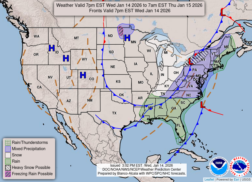
Two Pacific storms will impact the western U.S. this week. The second storm arriving Tuesday night into Wednesday may bring heavy to excessive rainfall and possible flooding for coastal central and southern California, while heavy mountain snow is possible across the Sierra Nevada mountains. Heavy to excessive rainfall may bring flooding to parts of the east coast of Florida beginning Tuesday. Read More >

Click a location below for detailed forecast.

Last Map Update: Mon, Nov 16, 2026 at 7:06:35 pm CST
Gale Warnings remain in effect across the open Gulf waters with Small Craft Advisories across the local bays. Tonight, the Gale Warning drops with Small Craft Advisory conditions remaining across the open waters through Tuesday AM. Mariners are urged to prepare for these conditions and prepare to seek safe harbor.
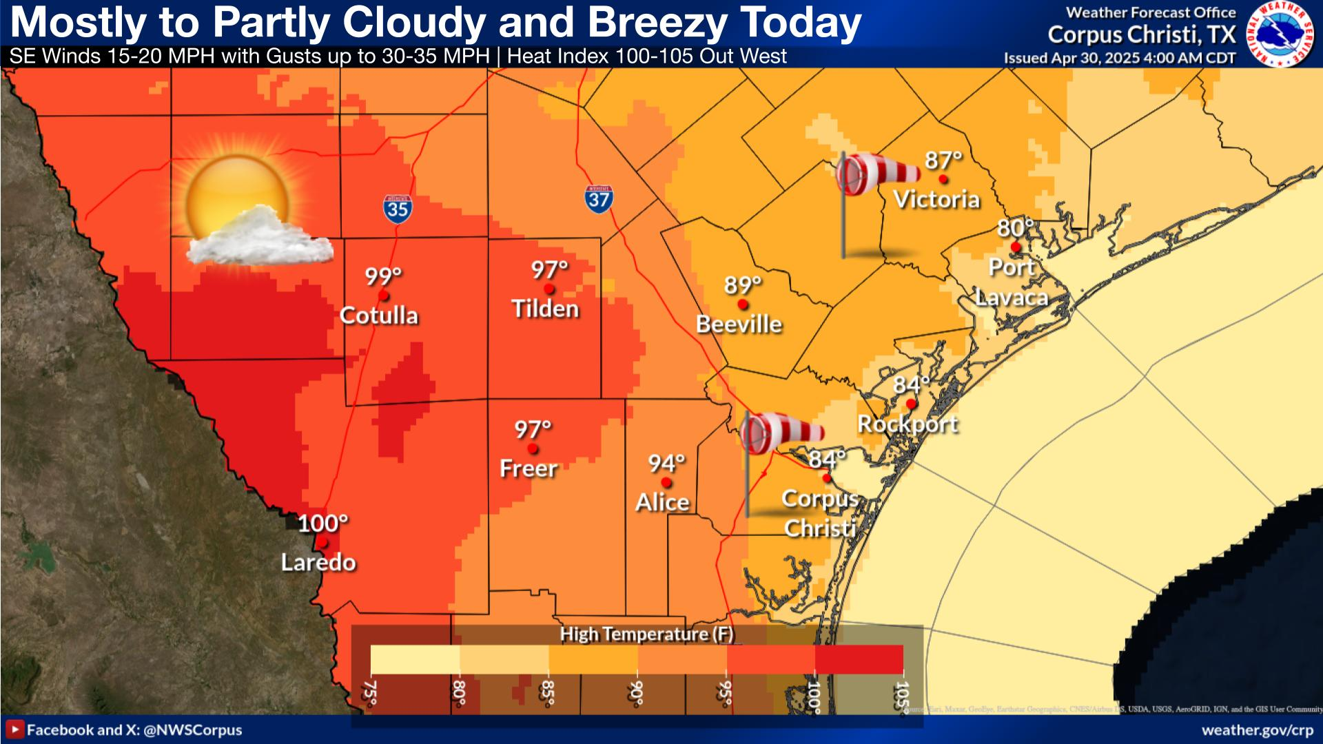
With northeast winds at a brisk 20-25 mph, it's looking like a gloomy beach day with rougher surf. Additionally, highs will struggle to climb much today. The rip current risk is at a HIGH risk. Use caution when entering the waters, especially near piers and jetties.
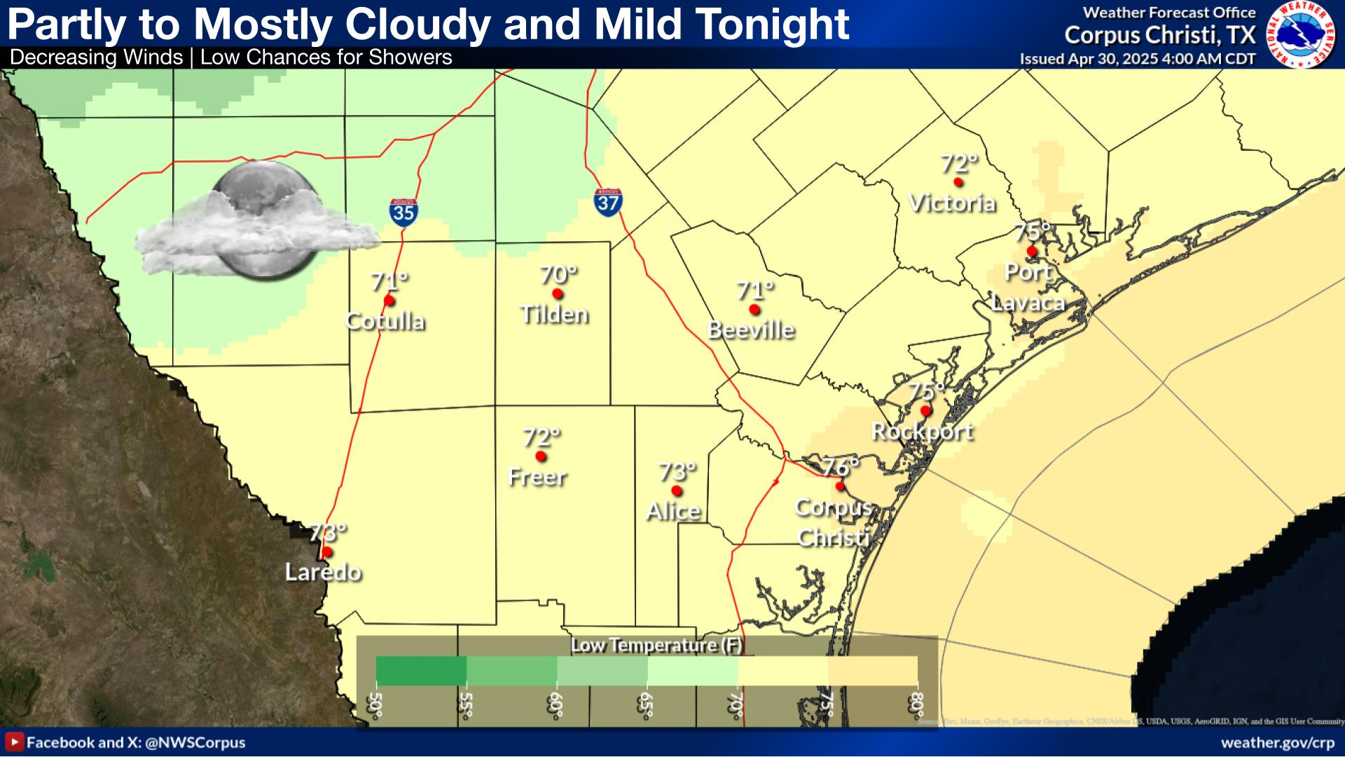
Winds and cloud coverage decreases overnight with locations with the least cloud coverage dropping into the upper 40s while remaining in the 50s closer to the coast.
It's looking like a beautiful first half of the work week to go outside with drier conditions and near-seasonal temperatures. The return of surface moisture mid-week will result in the return of low rain chances from Thursday.

 
Hourly Weather Roundup ( )
Location Sky/Weather Temp Dewpt RH Wind Baro Remarks
Alice
N/A
N/A
N/A
N/A
N/A
N/A
N/A
Beeville
N/A
N/A
N/A
N/A
N/A
N/A
N/A
Corpus Christi
N/A
N/A
N/A
N/A
N/A
N/A
N/A
Corpus Christi NAS
N/A
N/A
N/A
N/A
N/A
N/A
N/A
Cotulla
N/A
N/A
N/A
N/A
N/A
N/A
N/A
Kingsville NAS
N/A
N/A
N/A
N/A
N/A
N/A
N/A
Laredo
N/A
N/A
N/A
N/A
N/A
N/A
N/A
Port Lavaca
N/A
N/A
N/A
N/A
N/A
N/A
N/A
Rockport
N/A
N/A
N/A
N/A
N/A
N/A
N/A
Victoria
N/A
N/A
N/A
N/A
N/A
N/A
N/A
Note: "N/A" or "MISG" will be displayed if values are not available. In the LOCATION column, click on links for a list of recent observations at sites of interest. In the WIND column, VRB is "variable" and G is "gust". Wind speeds are in MPH. In the BARO (pressure) column, values are in inches. In the REMARKS column, HX is "heat index", WCI is "wind chill index", and VSB is "visibility" (if shown).
 
Text Product Selector
Video Briefing Weather Outlook Fcst Discussion Tropical Marine Tides
Rivers and Lakes Daily Rainfall Drought Fire Observations Satellite

Hourly Wx Graph Graphical Fcst Aviation Climate Past Events Hurricane Guide