Overview
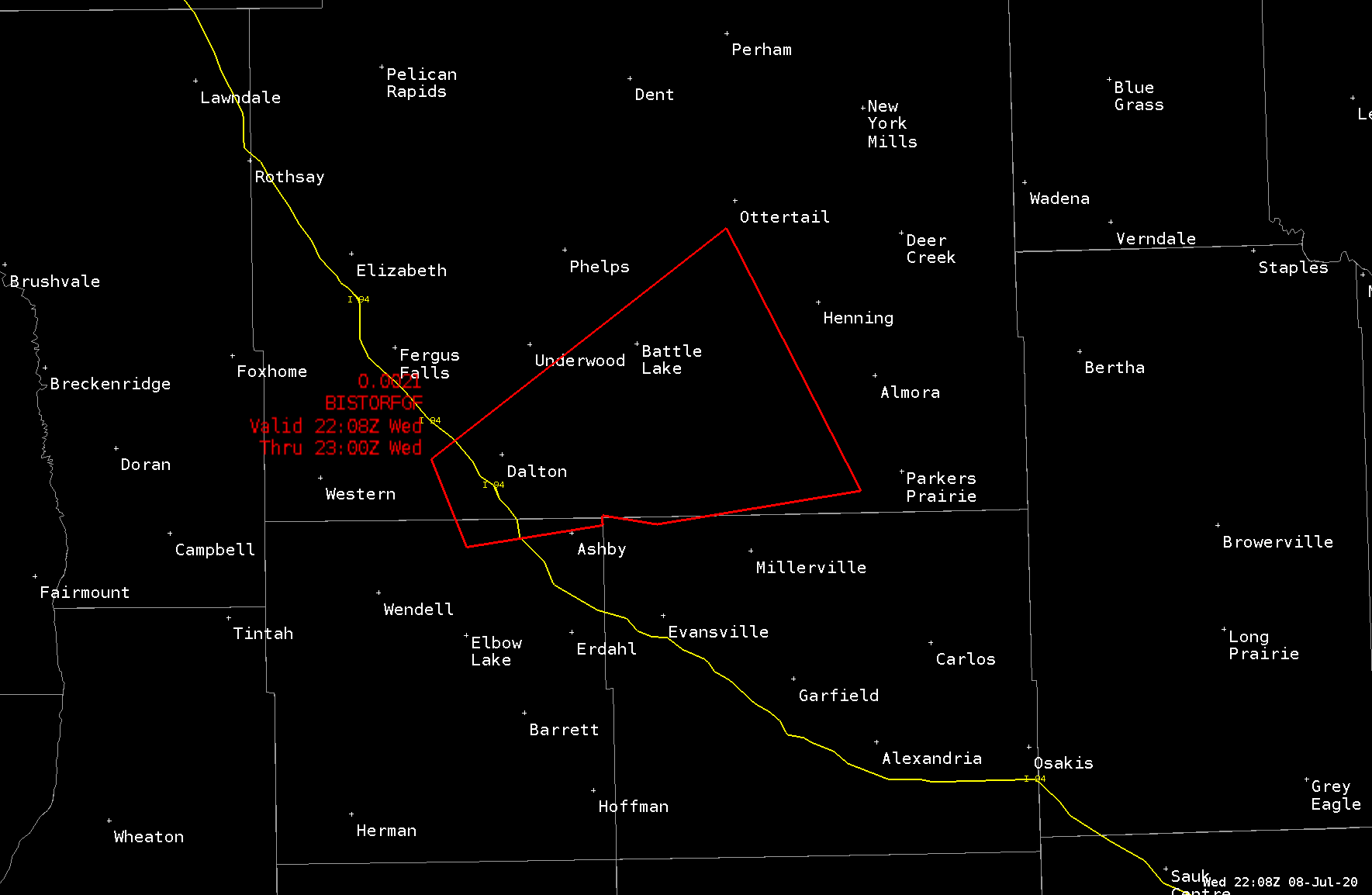
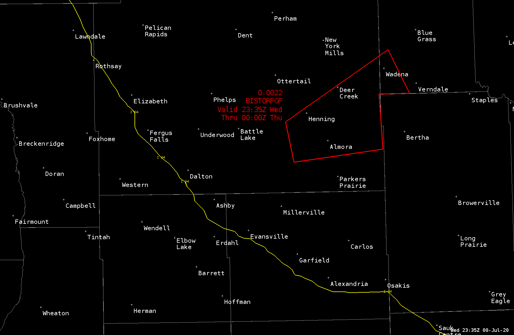
A severe thunderstorm quickly developed along the Grant/Otter Tail county line early in the late afternoon of Wednesday, July 8th. Numerous weather spotters were monitoring the convective development in this area, and they quickly relayed funnel cloud and tornado development information to the Grand Forks NWS office. From this information and radar signatures, a Tornado Warning was issued immediately (5:08 PM CDT to 6:00 PM CDT).
Tornadoes:
|
Tornado - LOCATION
Track Map .png)
|
||||||||||||||||
The Enhanced Fujita (EF) Scale classifies tornadoes into the following categories:
| EF0 Weak 65-85 mph |
EF1 Moderate 86-110 mph |
EF2 Significant 111-135 mph |
EF3 Severe 136-165 mph |
EF4 Extreme 166-200 mph |
EF5 Catastrophic 200+ mph |
 |
|||||
Thank you!

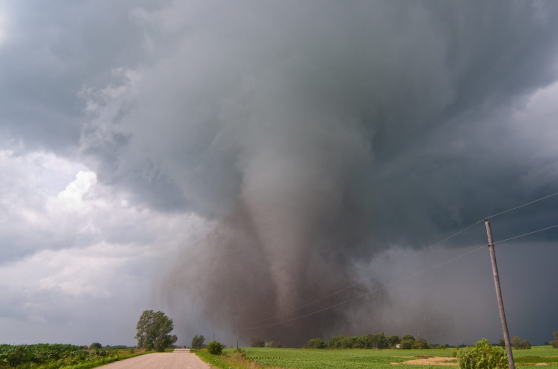
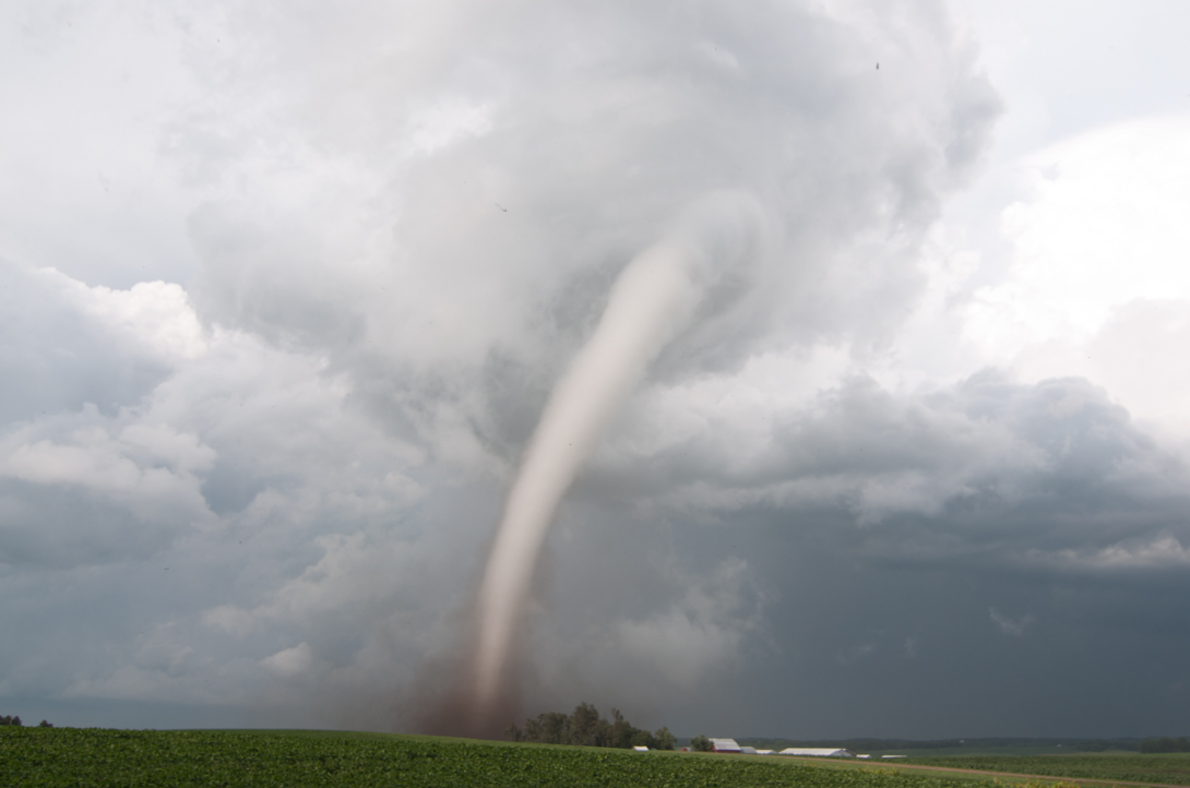
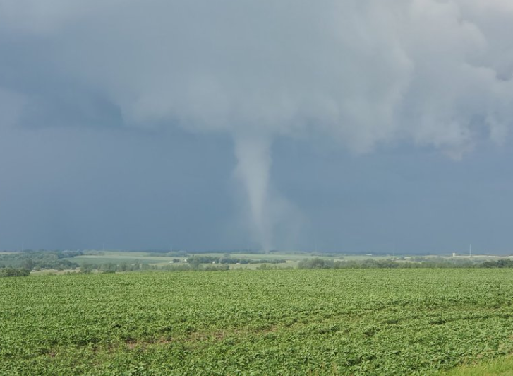
Photos & Video
 |
 |
 |
 |
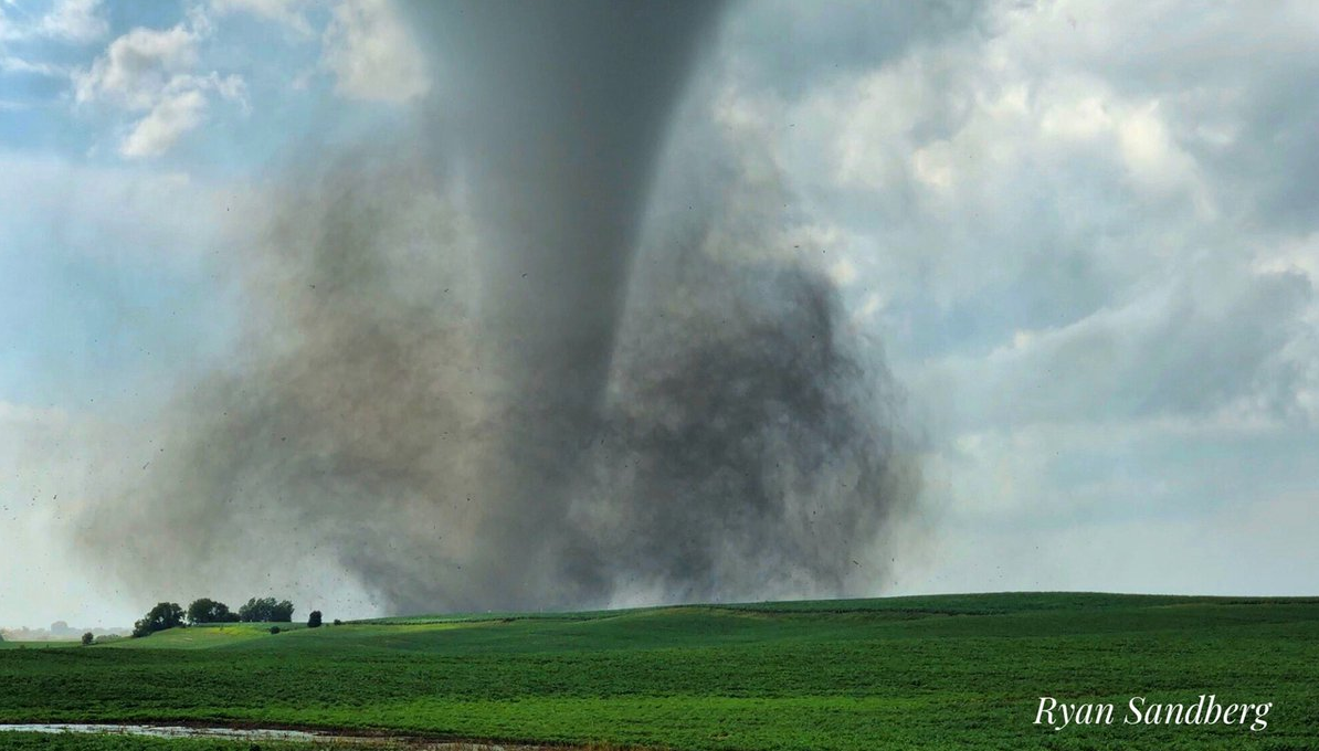
| Tornado (Ryan Sandberg) |
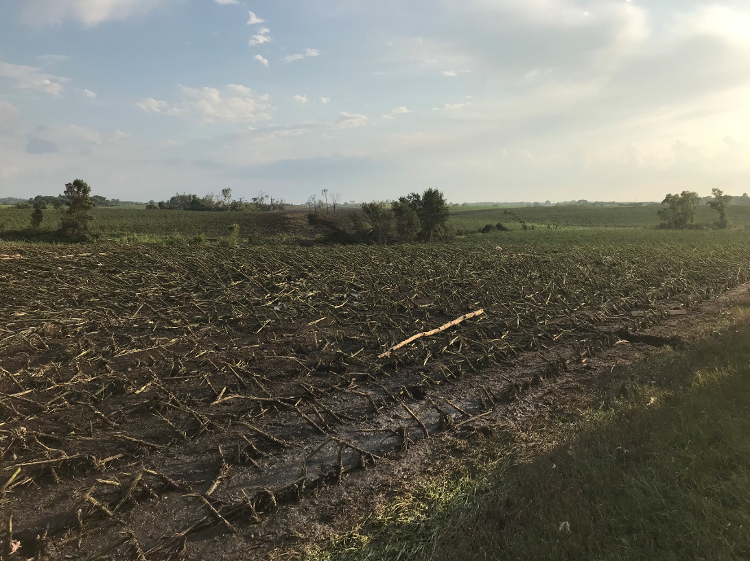
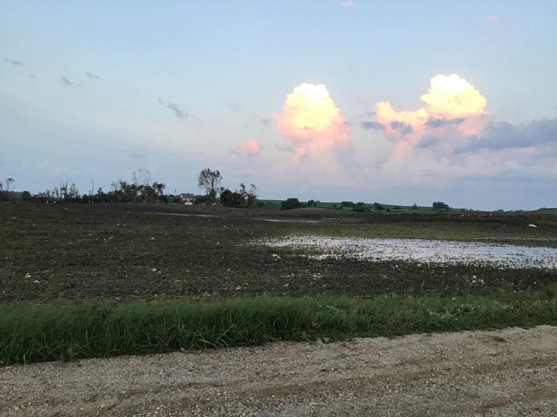
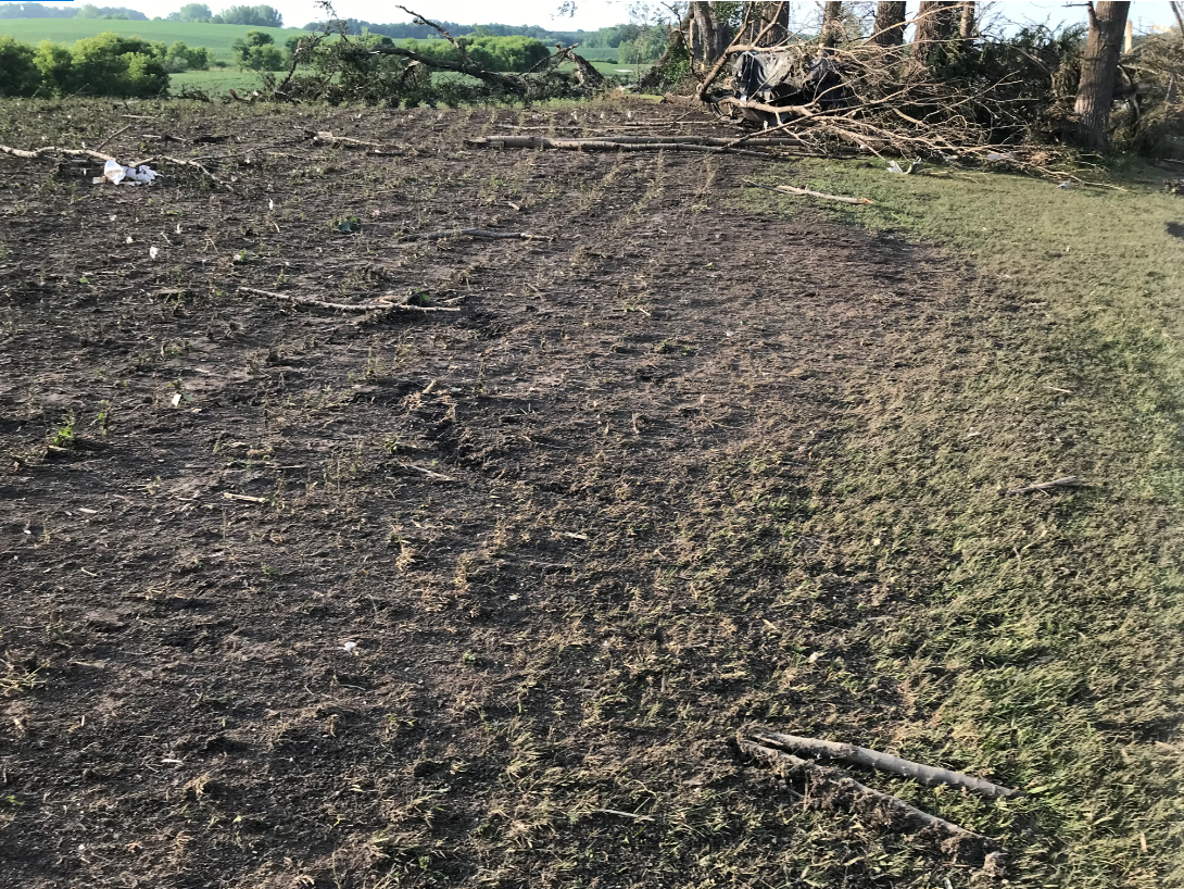
Damage (NWS photo) |
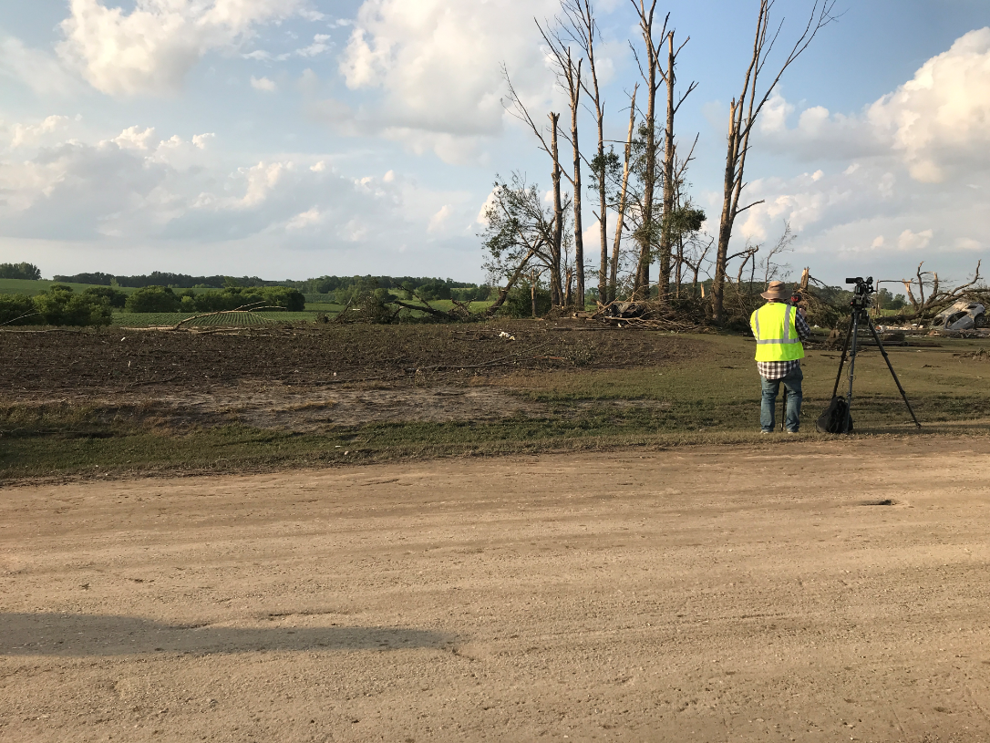
Damage (NWS photo) |
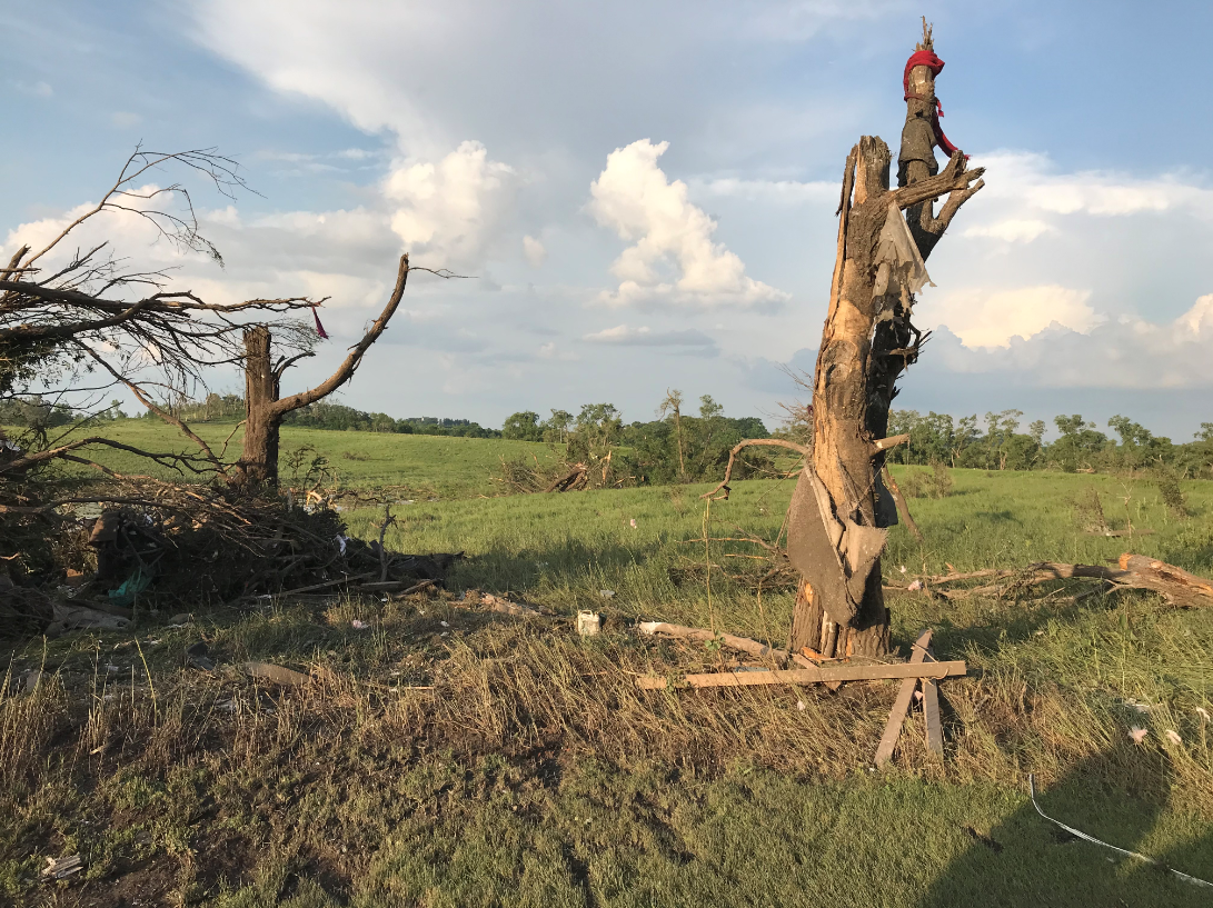
Damage (NWS photo) |
 |
 |
 |
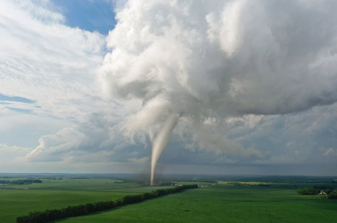 |
| Tornado (Bill Doms) |
Tornado (Bill Doms) |
Tornado (Holden Smith) |
Tornado (Jason Bednar) |
 |
 |
 |
 |
| Tornado (Brad Nelson) |
Tornado (Brad Nelson) |
Damage (NWS photo) |
Damage (NWS photo) |
Radar
 |
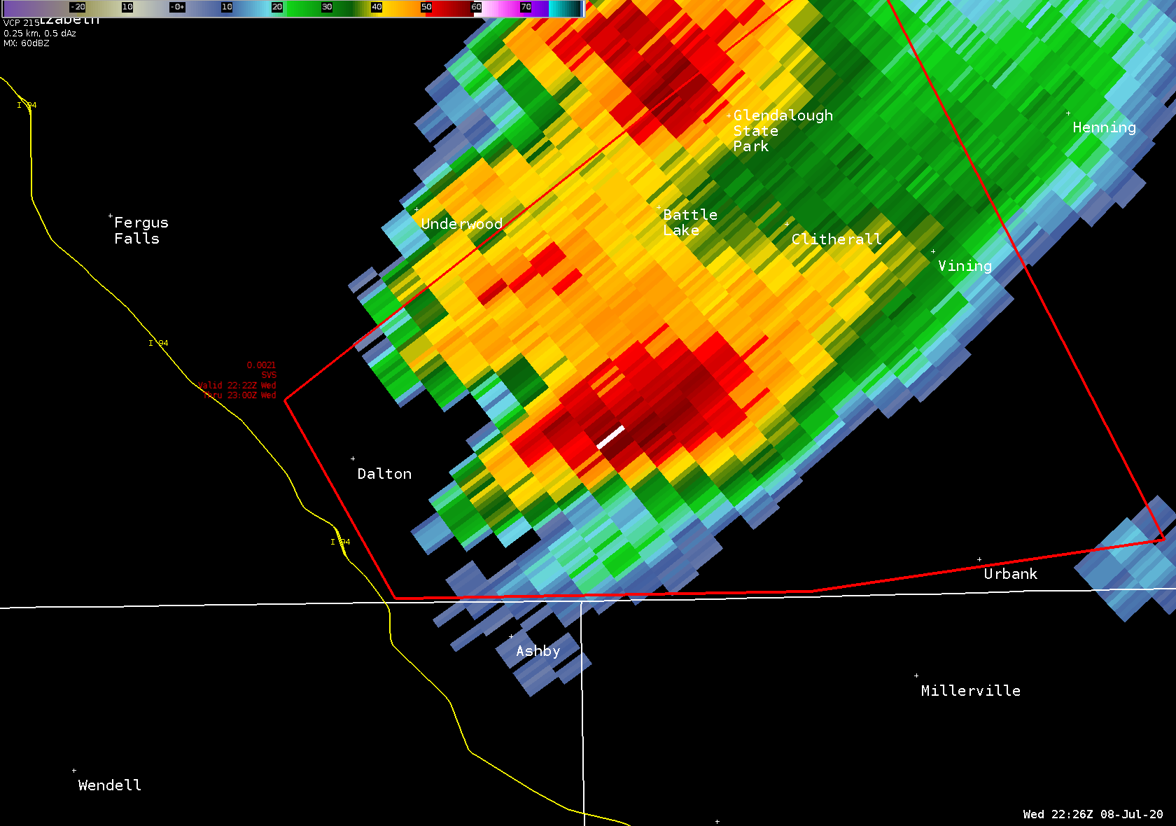 |
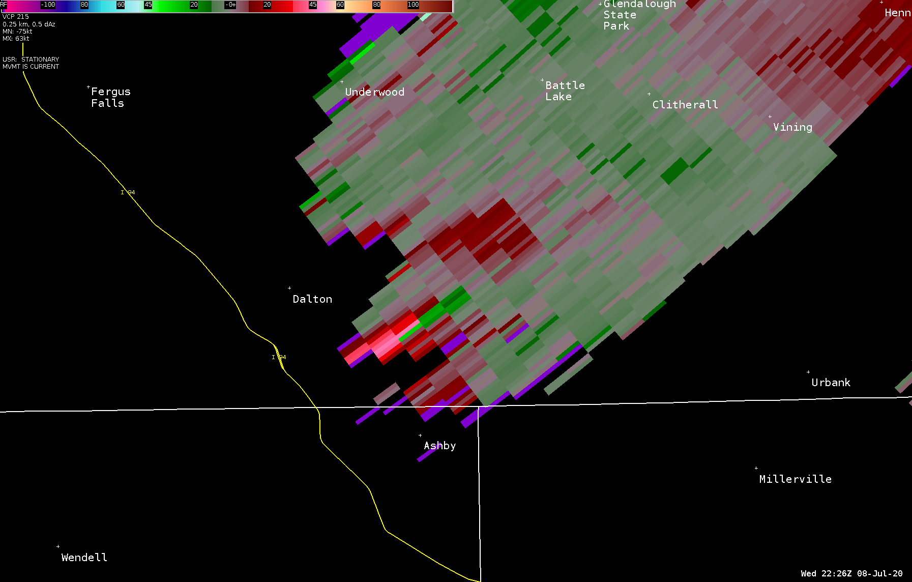 |
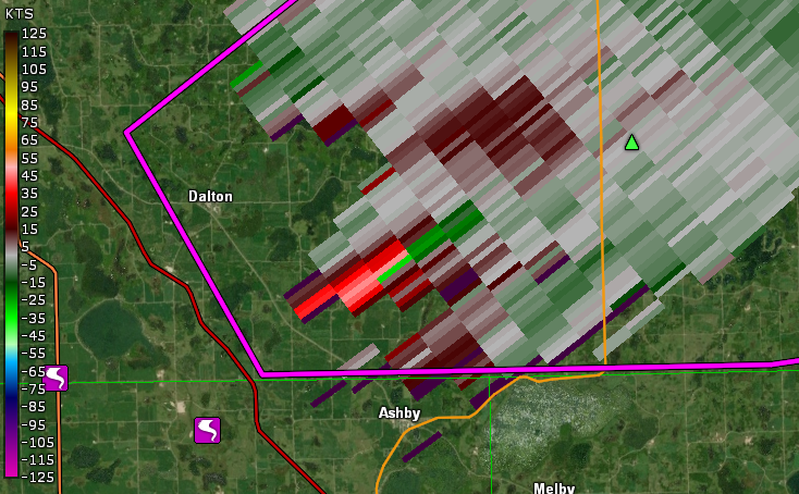 |
| Event Loop | KMVX reflectivity 526 PM CDT | KMVX SRM data 526 PM CDT | Another View at 526 PM CDT |
Additional Information
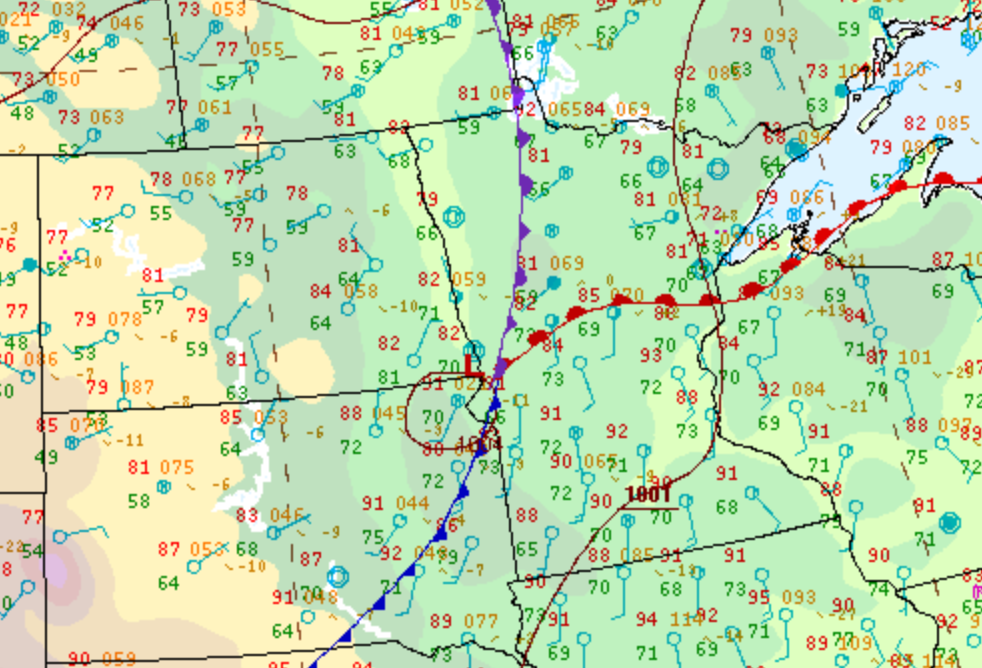
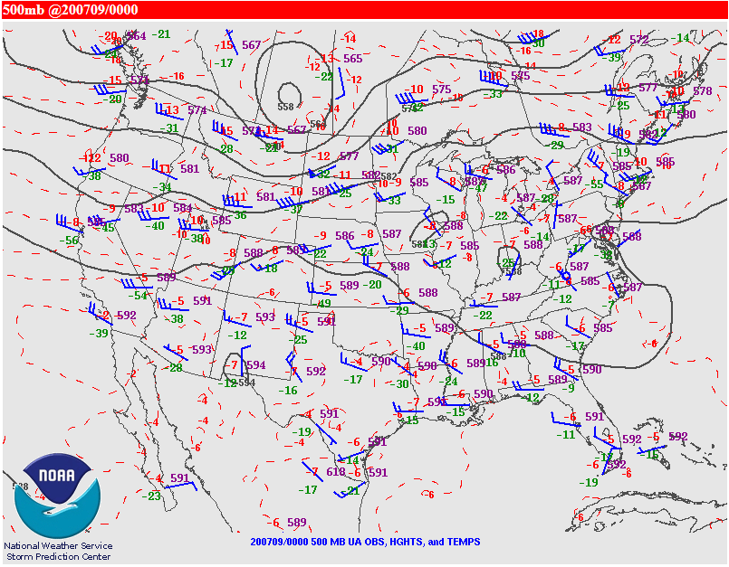
The Forecast
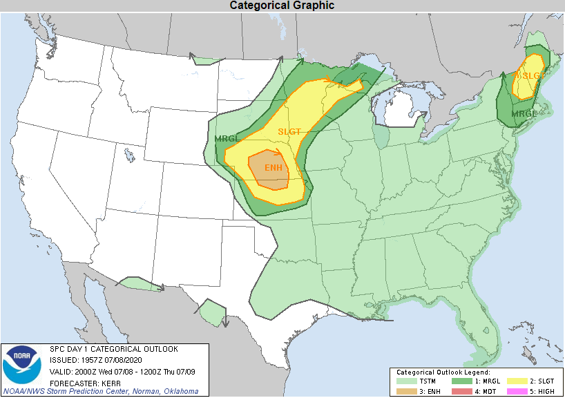 |
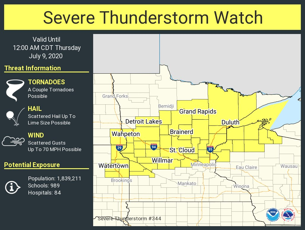 |
 |
 |
| SPC Day 1 Convective Outlook | SPC Severe Thunderstorm Watch | Tornado Warning 1 | Tornado Warning 2 |
 |
 |
 |
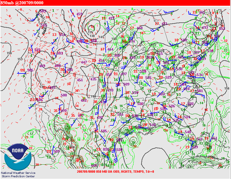 |
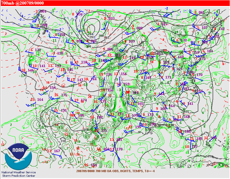
| WPC 4 PM Surface Map | 500 mb Chart | 700 mb Chart | 850 mb Chart |
 |
Media use of NWS Web News Stories is encouraged! Please acknowledge the NWS as the source of any news information accessed from this site. |
|

