
A slow moving front will be the focus area for heavy to excessive rainfall and a threat for flash/urban flooding across parts of the Gulf Coast into central/northern Florida early this week. Abnormally hot, potentially record-breaking, temperatures will continue for southern California and stretch north toward the Bay Area and Central Valley this week. Read More >
Last Map Update: Sun, Oct 4, 2026 at 2:50:28 pm MDT
|
Text Product Selector (Selected product opens in current window)
|
|





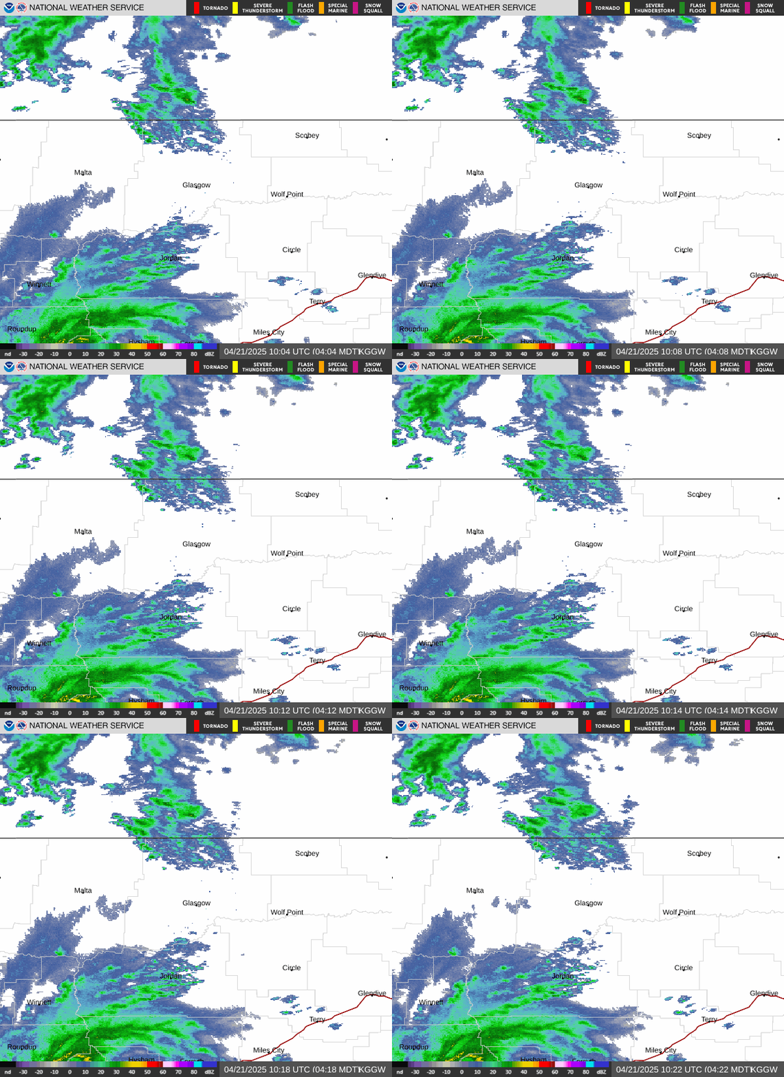
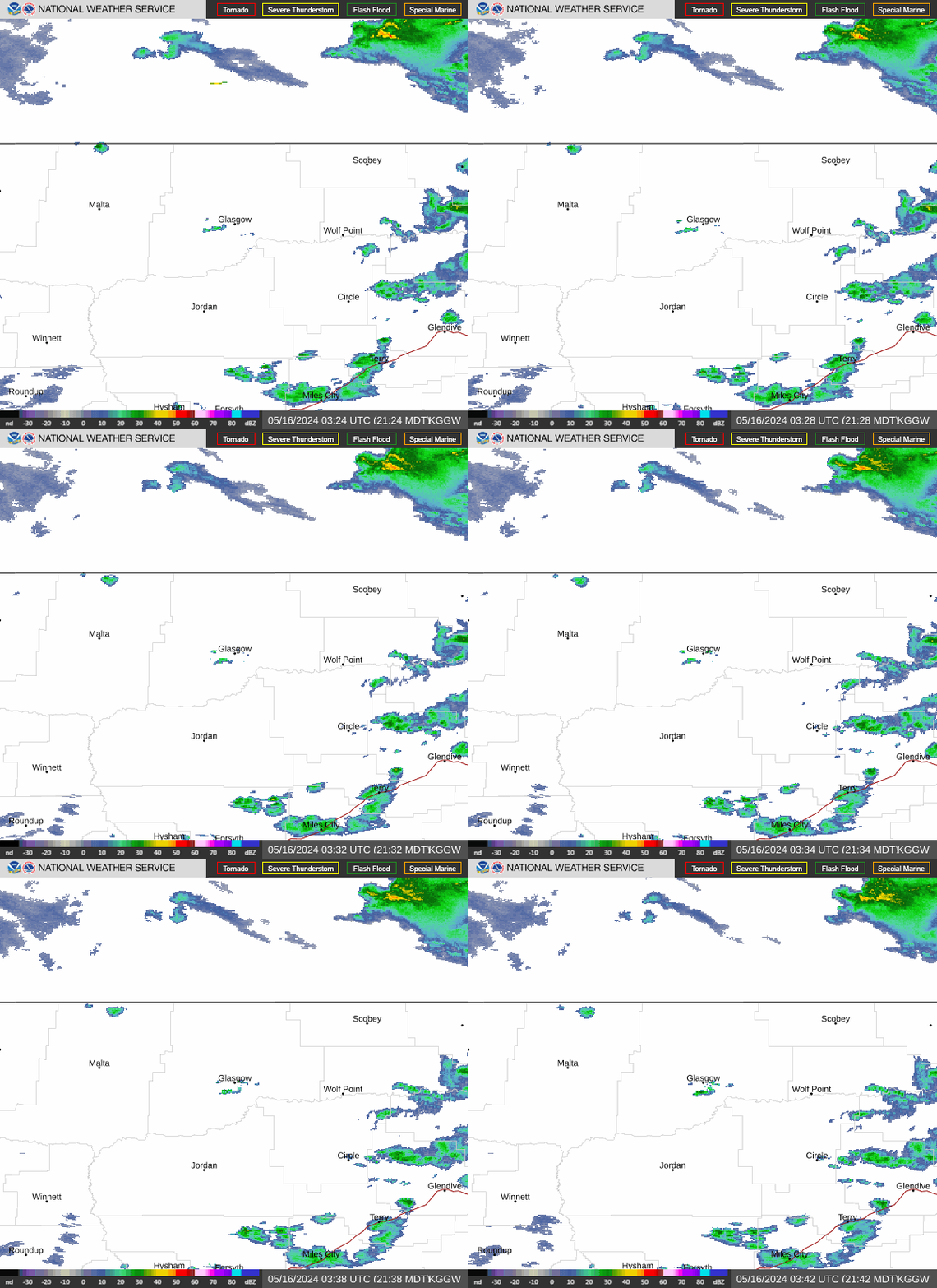 Glasgow Radar
 Satellite
 Current observations
 Forecast discussion
 Montana weather
 Fire weather
 Recreation forecasts
.png) Transportation forecast
Transportation forecast.png) Weather Prediction Center
Weather Prediction Center Storm Prediction Center
 Aviation weather
.png) Skywarn
Skywarn Weather Stats
 Follow us on X
 Follow us on Facebook
 Follow us on YouTube
 GGW RSS Feed