Overview
The coldest air of the early winter will stick around into Thursday. The coldest days will be Wednesday and Thursday. The coldest nights will be Wednesday and Thursday nights. Wind chill readings will fall well below zero and daytime temperatures will struggle into the single digits.
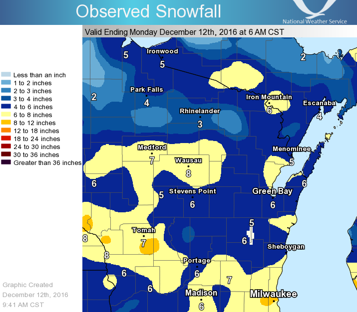
Ahead of the cold, an area of low pressure moved across the region and produced a wide swath of 4 to 8 inches of snow across central and southern Wisconsin. Amounts in Green Bay and the Fox Valley were generally in the 5 to 7 inch range. The fresh snow cover will help produce the bitter cold temperatures this week.
Cold and Wind Chill
The bitter cold air has arrived and will continue into Thursday. See images below for current & forecast temperatures and wind chills.
| Current Wind Chill Information | |||
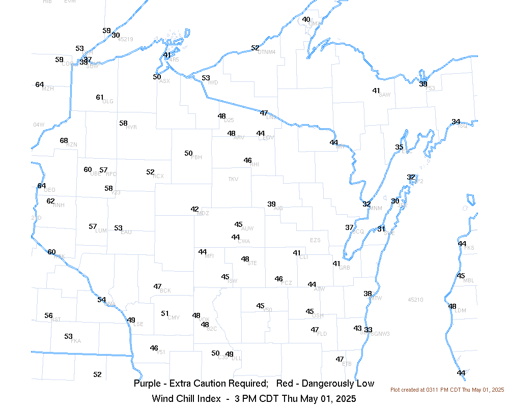 |
 |
||
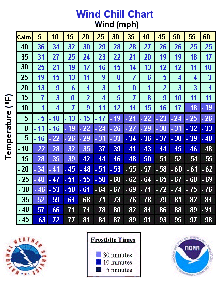
| Current Wind Chills | Wind Chill Chart - Calculator | ||
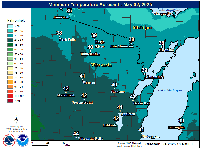
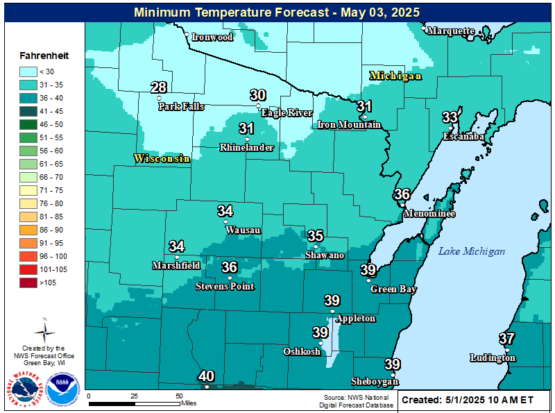
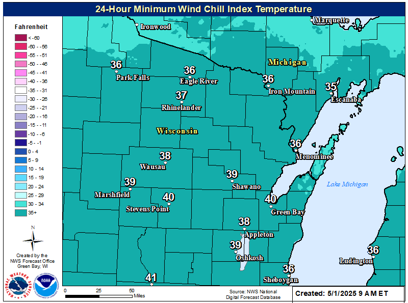
| Temperature and Wind Chills Forecasts | |||
 |
 |
 |
|
| Low Temps Tonight | Low Temps Wednesday Night | 24 Hr Minimum Wind Chills Forecast | |
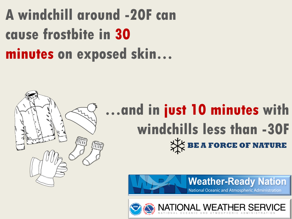
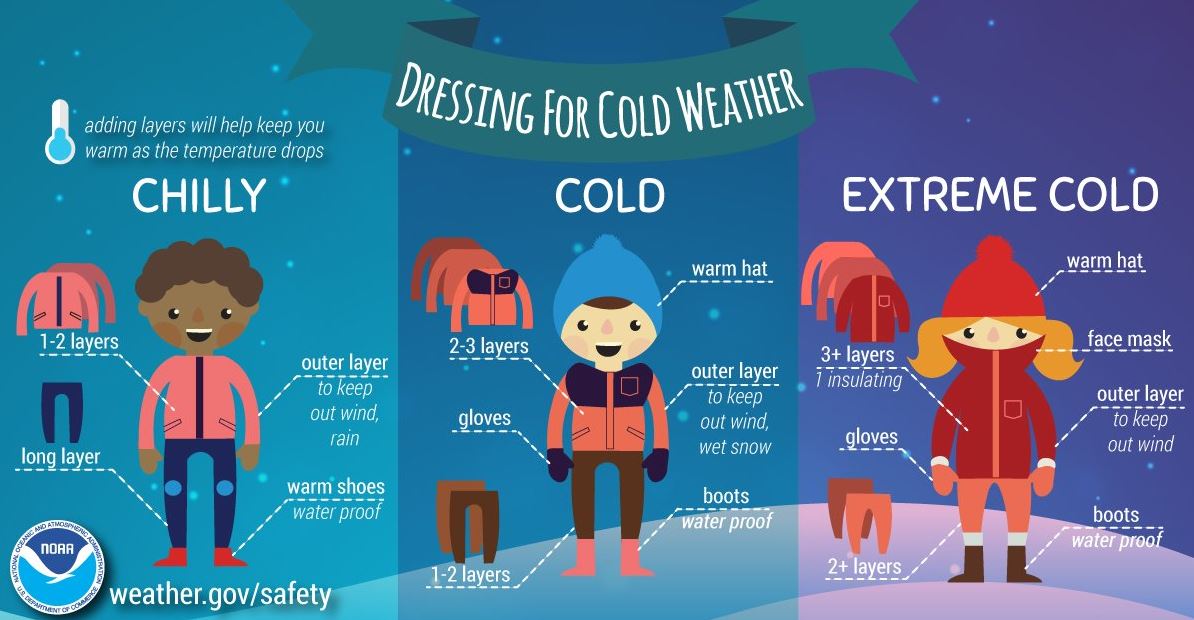
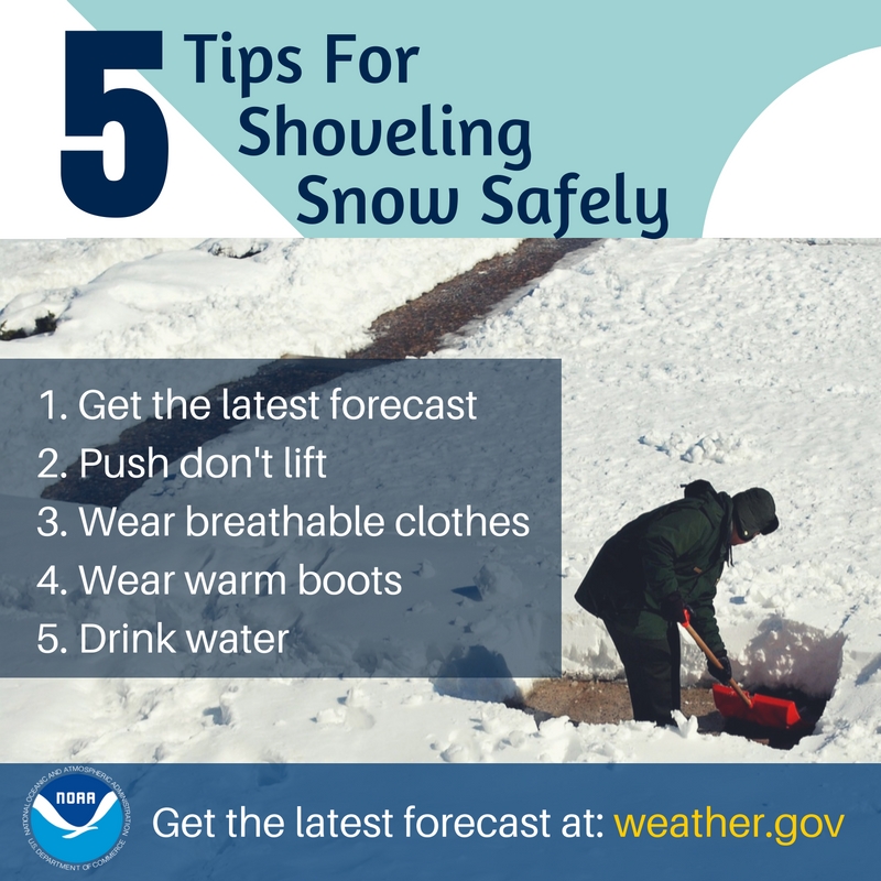
Winter Safety
Winter Safety Tips and Information
 |
 |
 |
|
| Wind Chills Facts | Dressing For Cold Weather | Snow Shoveling Safety | |
 |
Media use of NWS Web News Stories is encouraged! Please acknowledge the NWS as the source of any news information accessed from this site. |
|