(Preliminary--subject to change. Last updated July 9, 2015)
During the afternoon of July 6, 2015, a cold front generated a broken line of strong showers (preliminary data indicated that no lightning was detected with this activity) over central and northeast Wisconsin within a very moist and unstable airmass (radar reflectivity loop below). A few of the cells embedded within and just ahead of the line were able to briefly generate sufficient rotation in the lower levels to spawn three tornadoes (see preliminary tornado map below). Brief torrential downpours also accompanied this activity.
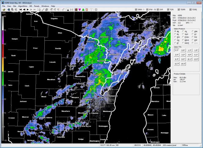
NWS Green Bay radar reflectivity loop (above).
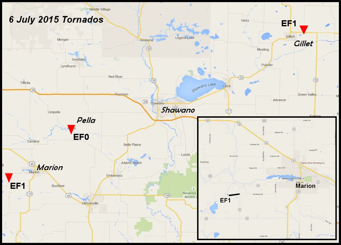
Preliminary Tornado Map (above). Red triangles denote approximate location of brief tornado touchdowns. Inset above denotes the location of the EF1 tornado west of Marion, Wisconsin.
| Tornado | Begin | End | Path |
| Marion EF1 | 4:38 PM, 3.4 W Marion | 4:41 PM, 2.7 W Marion | Length: 0.8 mi Width: 75 yards |
| Pella EF0 | 5:03 PM, 1.1 E Pella | 5:03 PM, 1.2 E Pella | Length: 0.1 mi Width: 25 yards |
| Gillett EF1 | 5:56 PM, 2 ENE Gillett | 6:03 PM, 4 NE Gillett | Length: 2.2 mi Width: 50 yards |
The first tornado developed just ahead of the main line of showers over northern Waupaca County. This storm quickly attained supercell characteristics and generated a brief EF1 tornado about three miles west of Marion in extreme northern Waupaca County (see map insert above and radar images below).
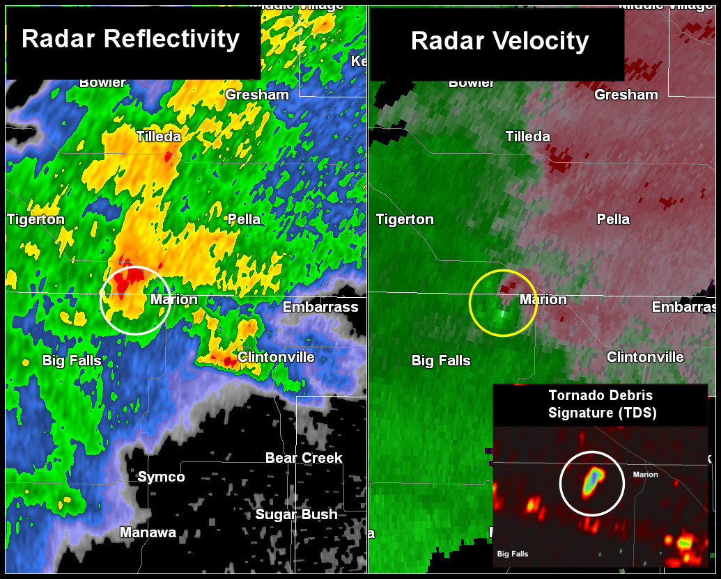
Radar reflectivity (above Left) and radar velocity (above right) around time of the EF1 tornado west of Marion. Insert in the above image is the dual polarization correlation coefficient (CC) product denoting the location of debris produced by the tornado.
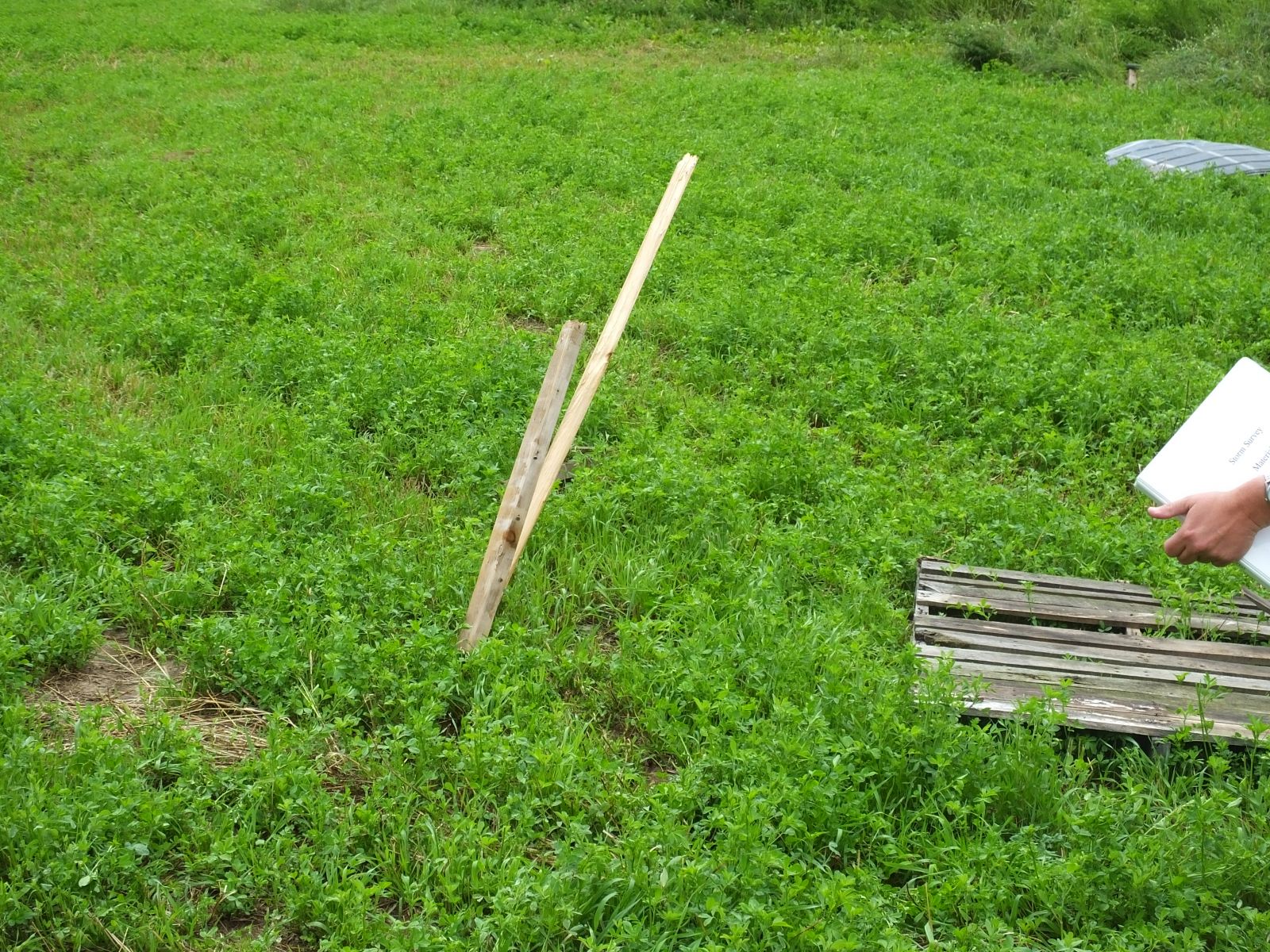
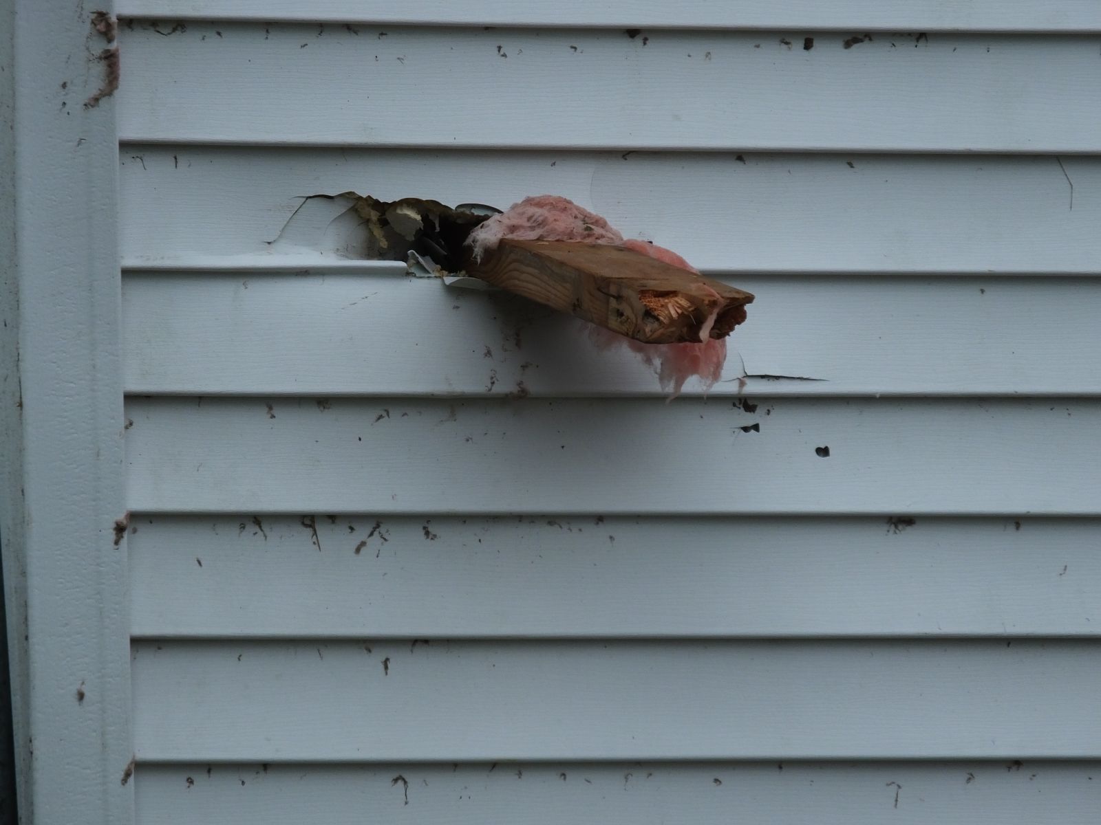
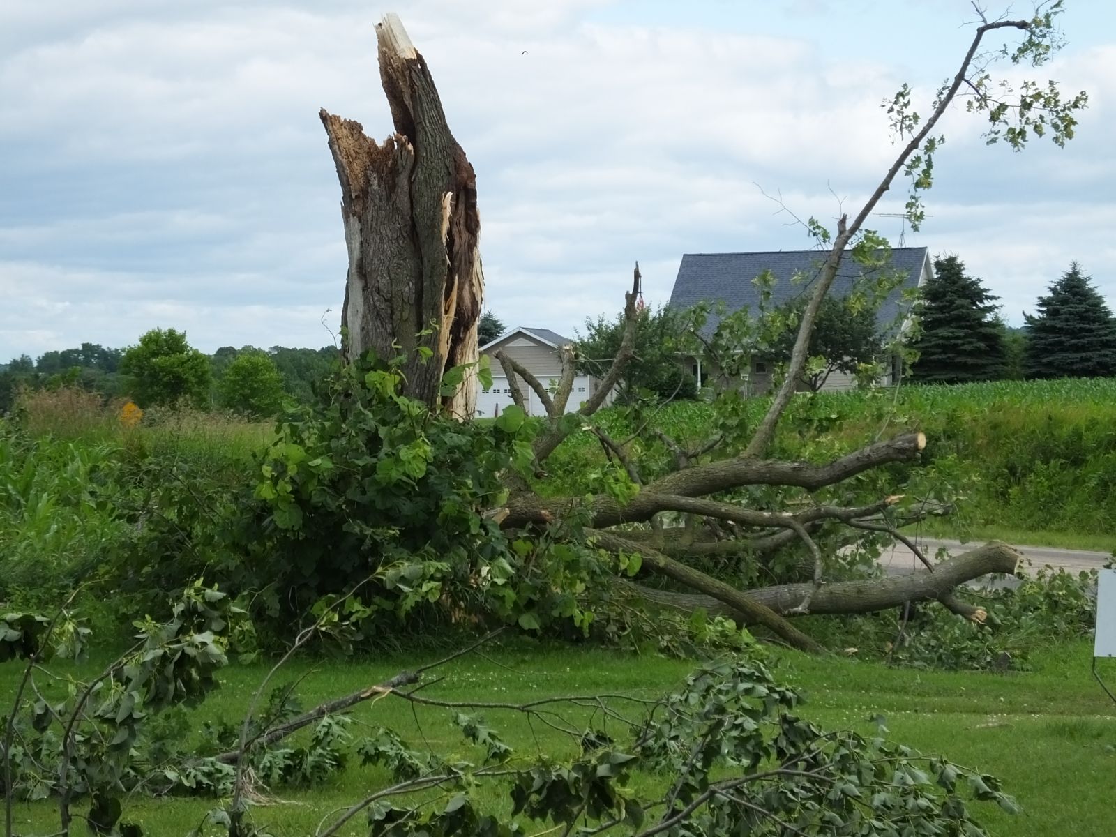
Here are some damge photos from the Marion tornado:
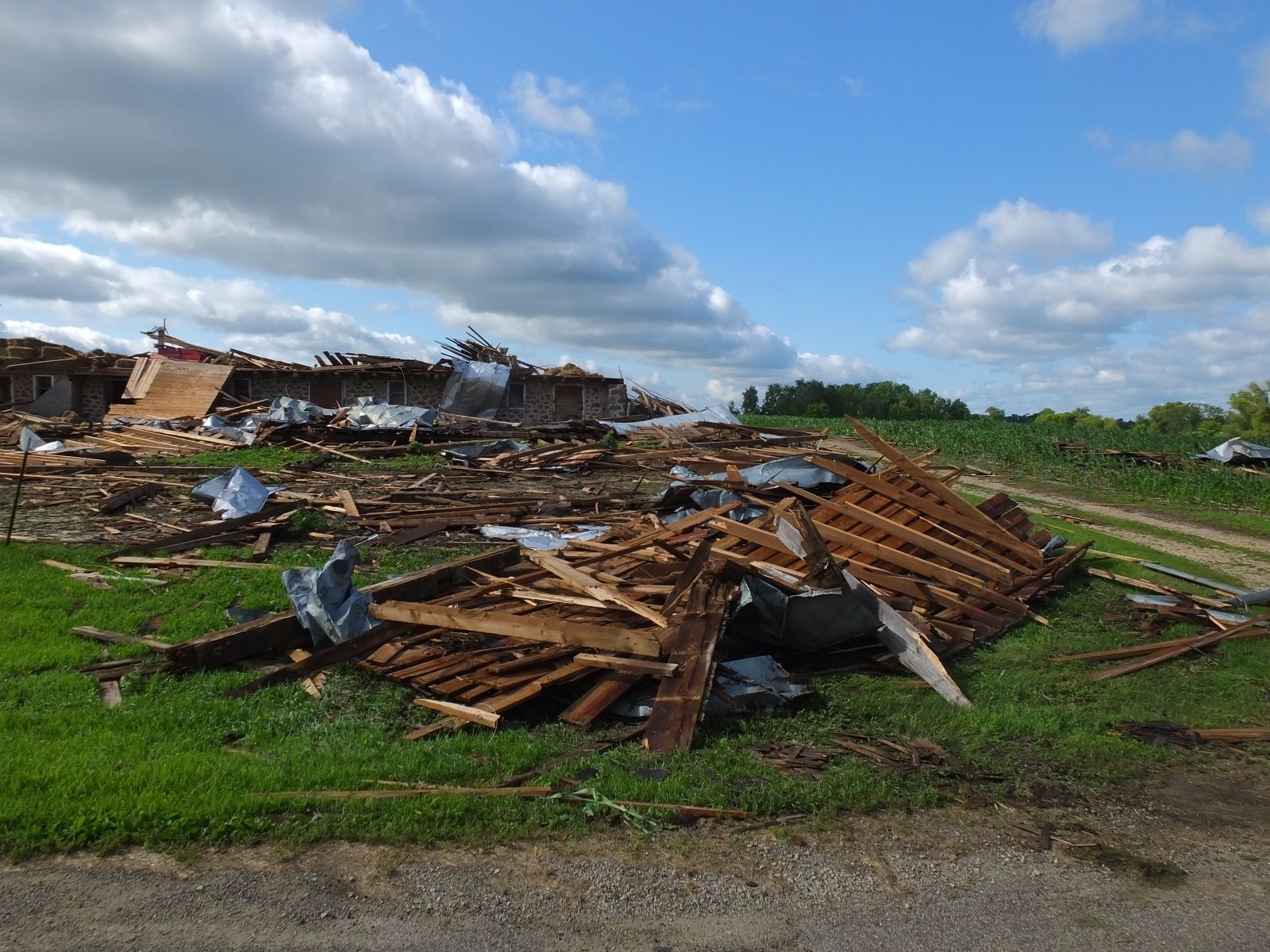 |
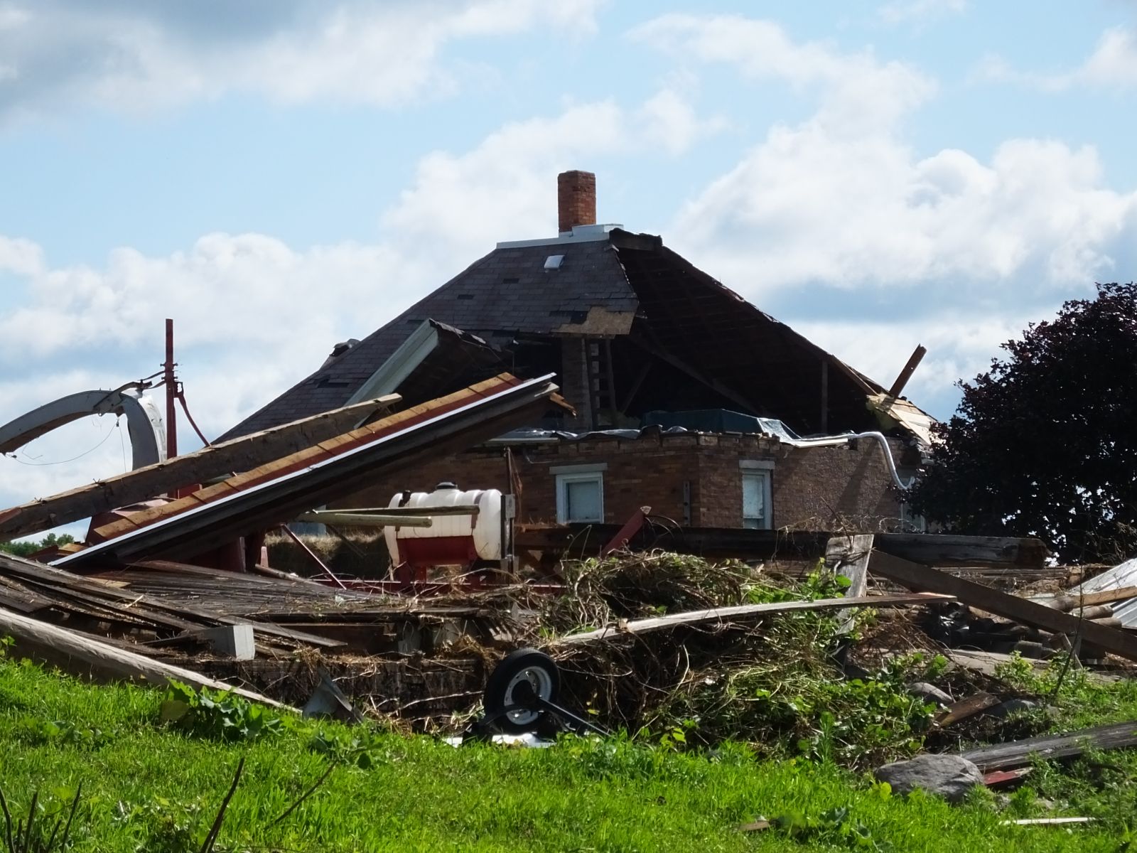 |
 |
 |
 |
 |
As this cell continued to move northeast into Shawano County, it produced another very weak tornado (EF0) that briefly touched down near Pella in central Shawano County around 5 pm CDT (denoted by the white circle in the image below). The dashed circle in the image below denotes a new circulation associated with a different cell that was developing to the southeast of the Pella (just north of Embarrass).
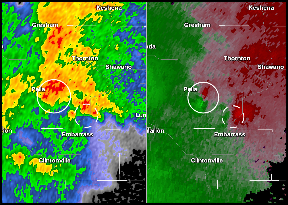
Radar reflectivity (above left) and velocity image (above right) associated with brief tornado touchdown near Pella (denoted by solid circle in the image above). Dashed circle denotes a new circulation that eventually produces a tornado near Gillett about 50 minutes later.
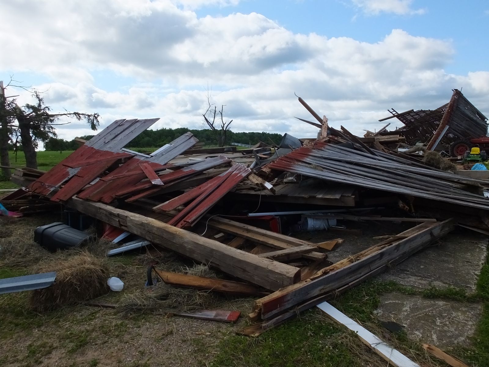
Here are some damge photos from the Pella tornado:
 |
|
This new cell north of Embarrass continued to organize and strengthen and eventually produced an EF1 Tornado near Gillett in western Oconto County around 555 pm CDT (see image below).
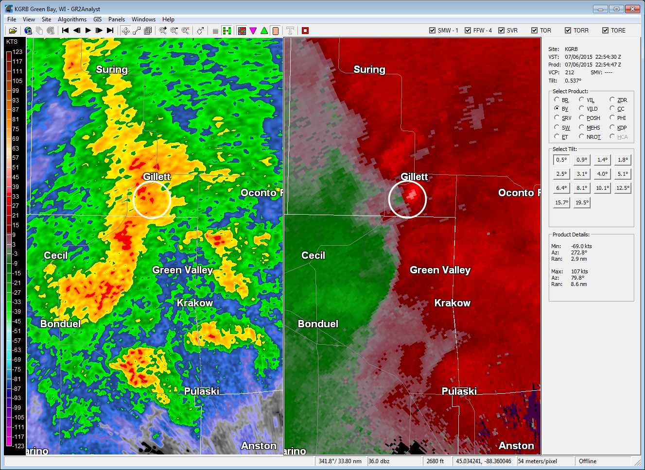
Radar reflectivity (above left) and velocity (above right) denoting the location of the storm that produced an EF1 tornado near Gillett around 555 pm CDT.
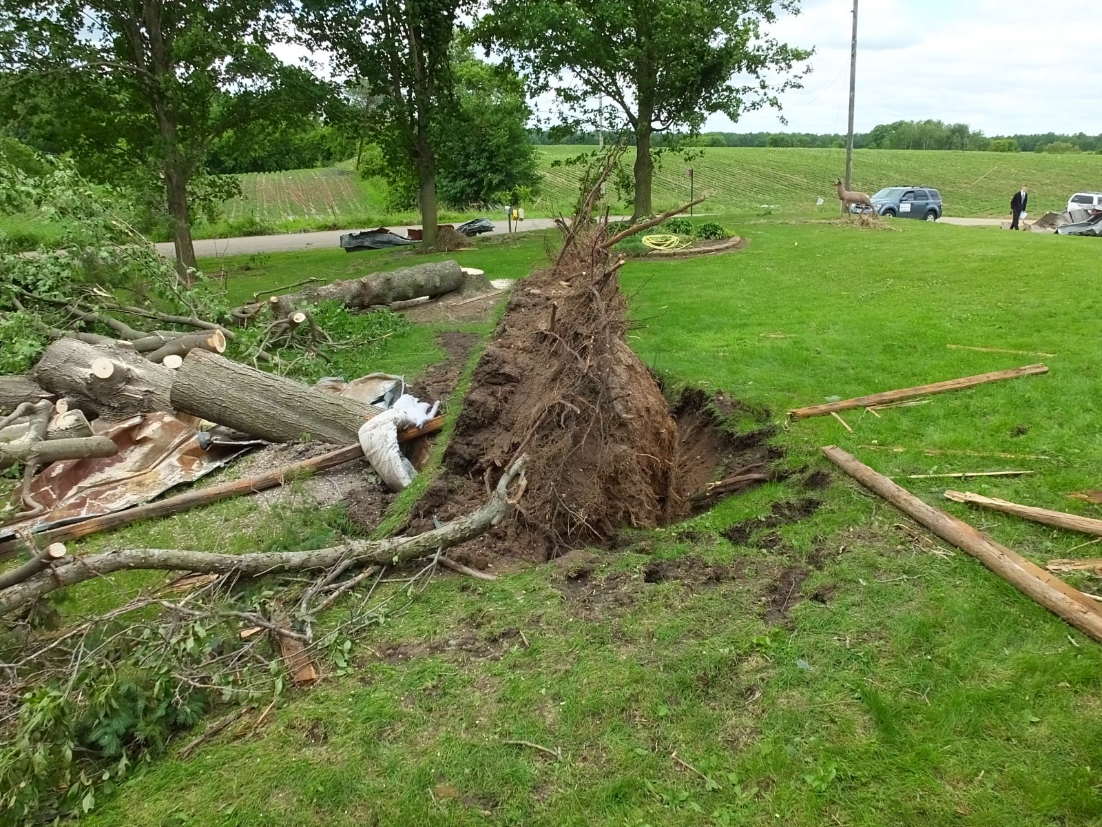
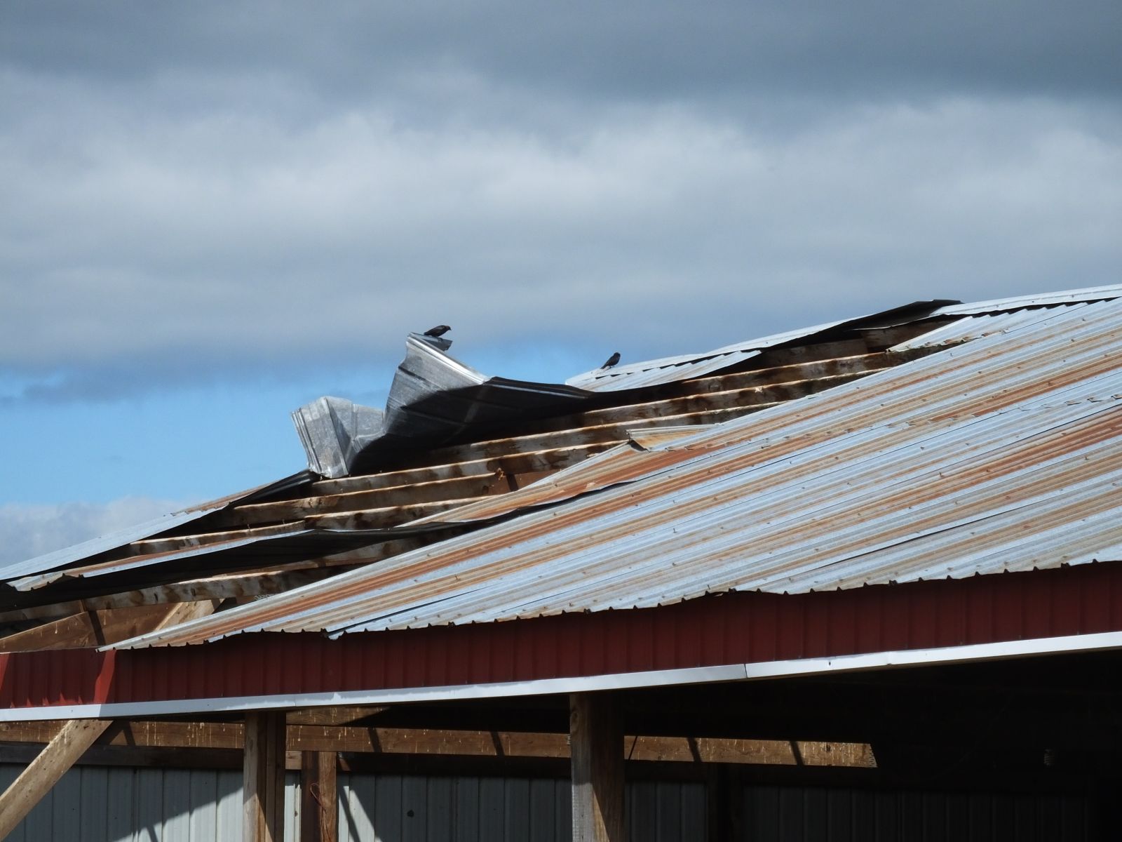
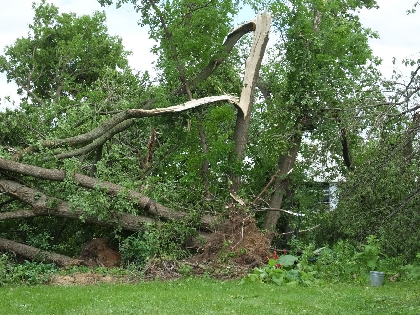
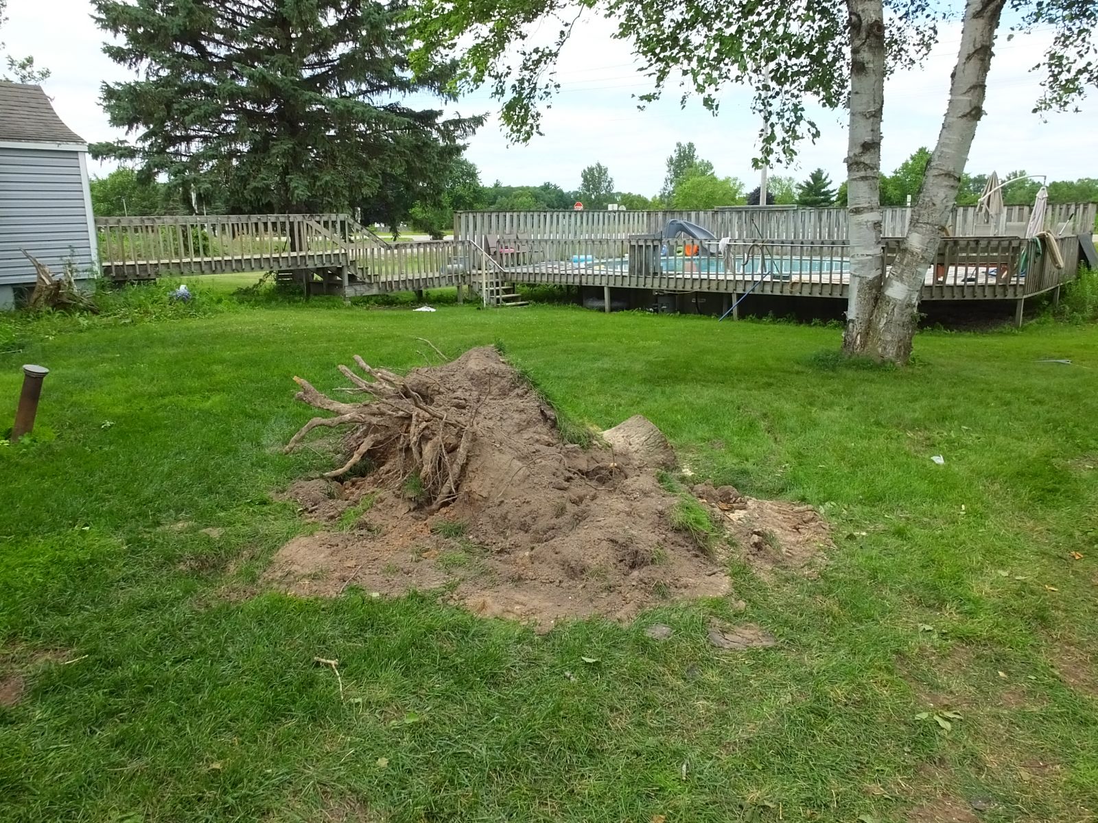
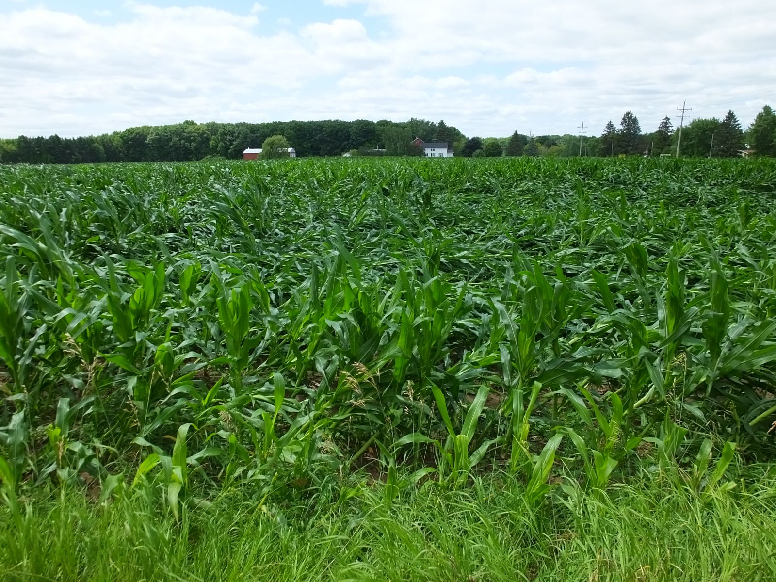
Here are some damge photos from the Gillett tornado:
 |
 |
 |
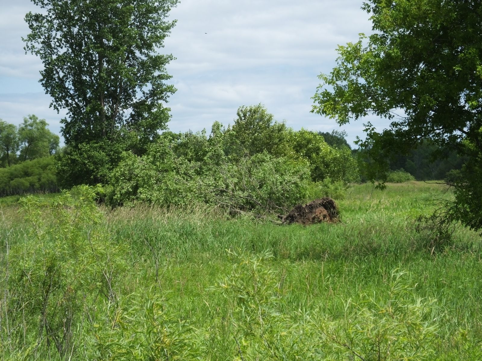 |
The above information should be considered preliminary. Updates may occur as more information becomes available.