Snow Ending
|
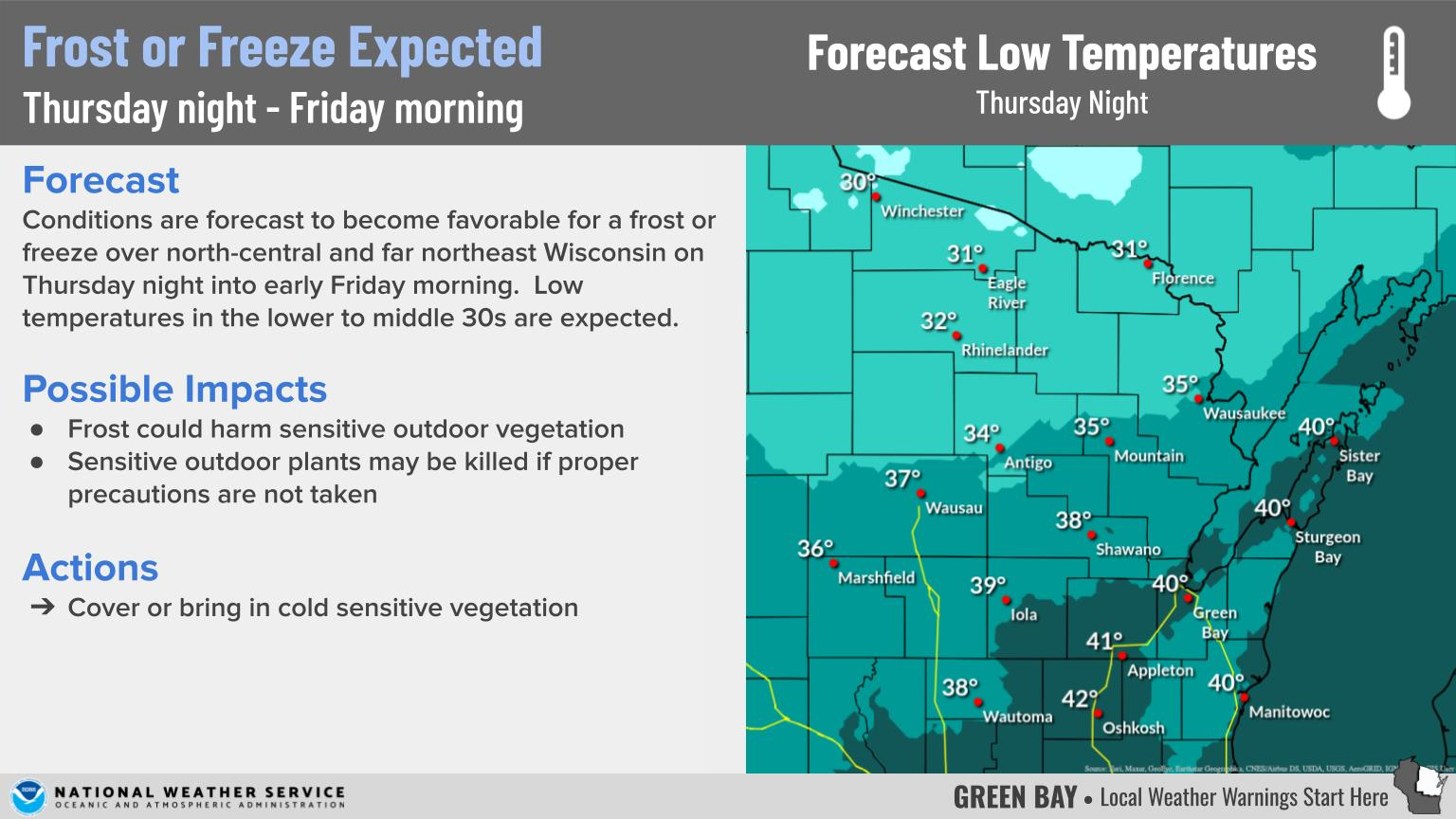
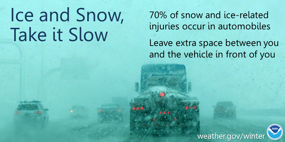
What: Total storm accumulations of 5 to 12 inches are expected across much of the area. Locally higher amounts are possible along/near a Marshfield to Marinette line. Gusty northeast to north winds are also expected across the Fox Valley and lakeshore. The winds will create some blowing and drifting snow. Impacts: Snow covered roads and poor visibilities will lead to difficult travel conditions for motorists. Actions: In snow, slow down, keep extra distance between vehicles and allow extra time to reach your destination. See tabs below for more information. Click on any image for a larger view. |
Snowfall Forecasts
|
Latest Snowfall Forecast |
High End Amount Low End Amount
|
|
|
|
Radar
 |
|
Snow / Road Reports
|
Latest Snowfall Reports |
For the latest Wisconsin road conditions, visit: |
||
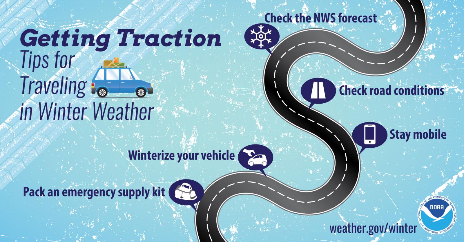
Weather Safety Information
| Winter Safety Info | ||
 |
 |
.png) |
 |
Media use of NWS Web News Stories is encouraged! Please acknowledge the NWS as the source of any news information accessed from this site. |
|