Green Bay, WI
Weather Forecast Office
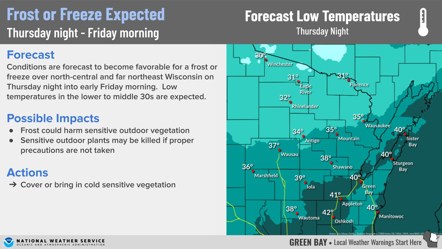
The opening day hunting forecast is calling for blustery conditions and seasonably cold temperatures across the area. Rain/snow will gradually end from west to east during the day, except across the far north where snow showers will linger into Sunday morning.
Opening Day Hunting Forecast:

The Latest Conditions / Radar Images:
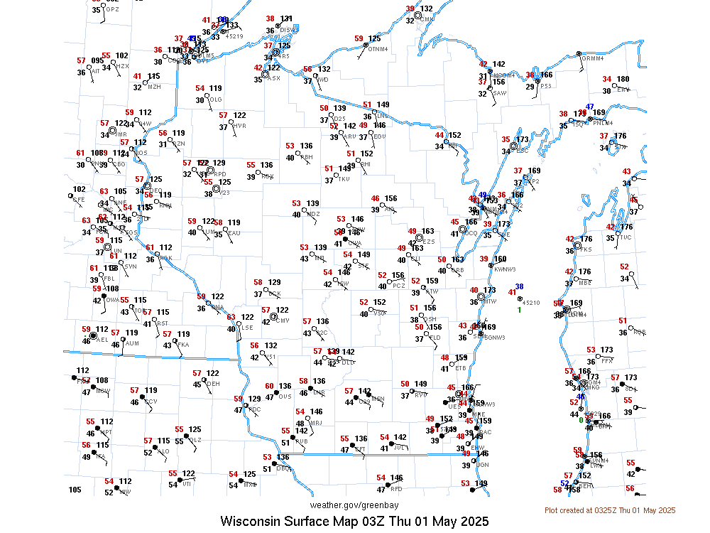
For the latest hourly observations (click on map for larger view) across central, north-central and far northeast Wisconsin, click on the following link for the latest text product: http://f1.weather.gov/product.php?site=NWS&product=RWR&issuedby=GRB
| Latest Radar - Click for larger view | ||
|
Here are additional links to help monitor the weather:
US Dept of Commerce
National Oceanic and Atmospheric Administration
National Weather Service
Green Bay, WI
2485 South Point Road
Green Bay, WI 54313-5522
920-494-2363
Comments? Questions? Please Contact Us.


