Snow Ends This Evening, Then Getting Colder
|
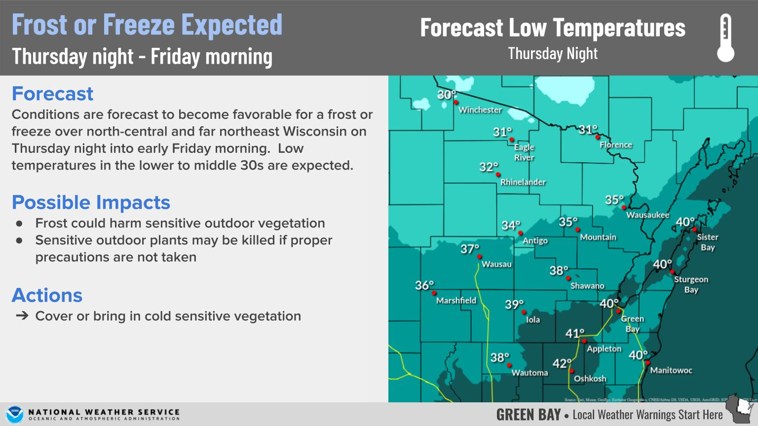
WHAT: Mostly snow through the evening, a little light freezing drizzle possible.
WHEN: Through this evening, ending from southwest to northeast.
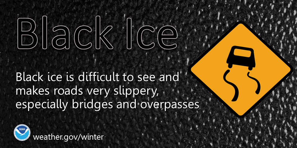
IMPACTS: Snow or ice-covered and slippery roads, bridges, and sidewalks. Visibility should improve as snow becomes light.
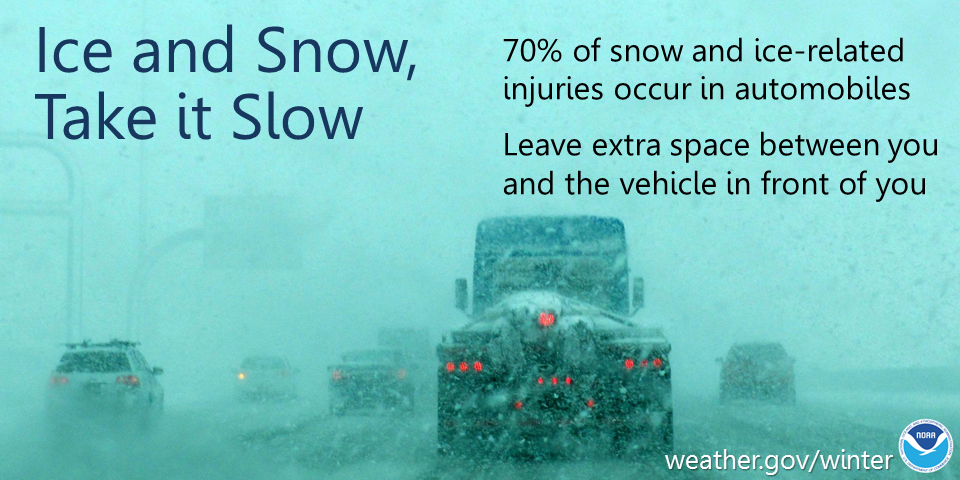
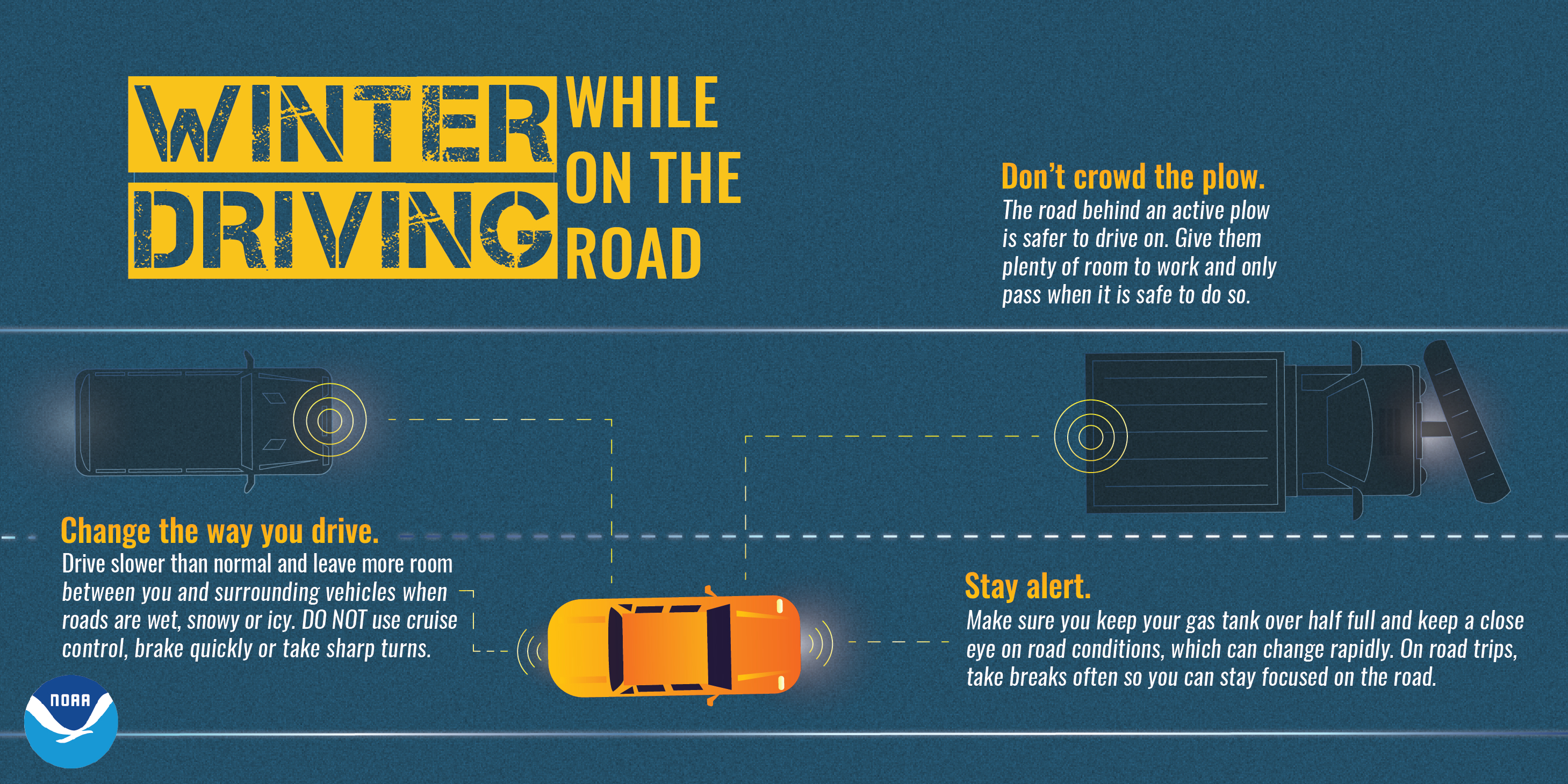
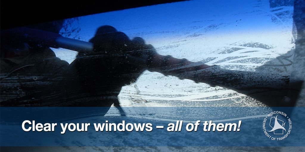
ACTIONS: Remember...TAKE IT SLOW in ICE and SNOW! Keep extra distance between vehicles and allow extra time to reach your destination. TEMPS: Temperatures will be falling quickly tonight, with lows ranging from -5 to 5 above zero. Wind chills late tonight and early Friday will range from -20 to -30.
See tabs below for more information. Click on any image for a larger view. |
Snowfall and Ice Forecasts
|
|
|
|
Snowfall Forecast |
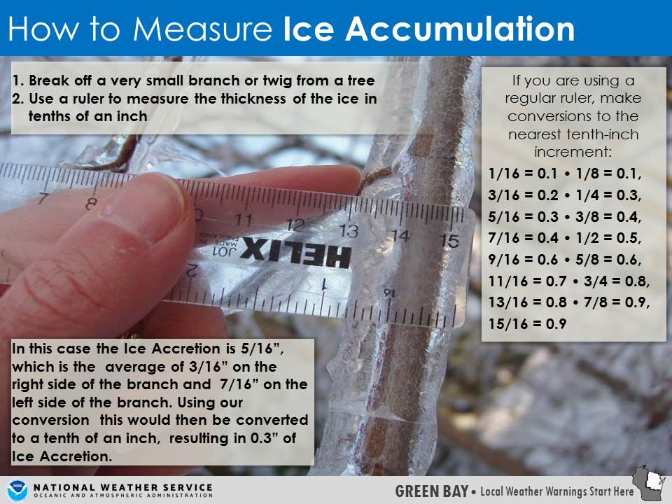
Ice Accumulation Forecast |
|
|
|
Radar
 |
|
Snow / Road Reports
|
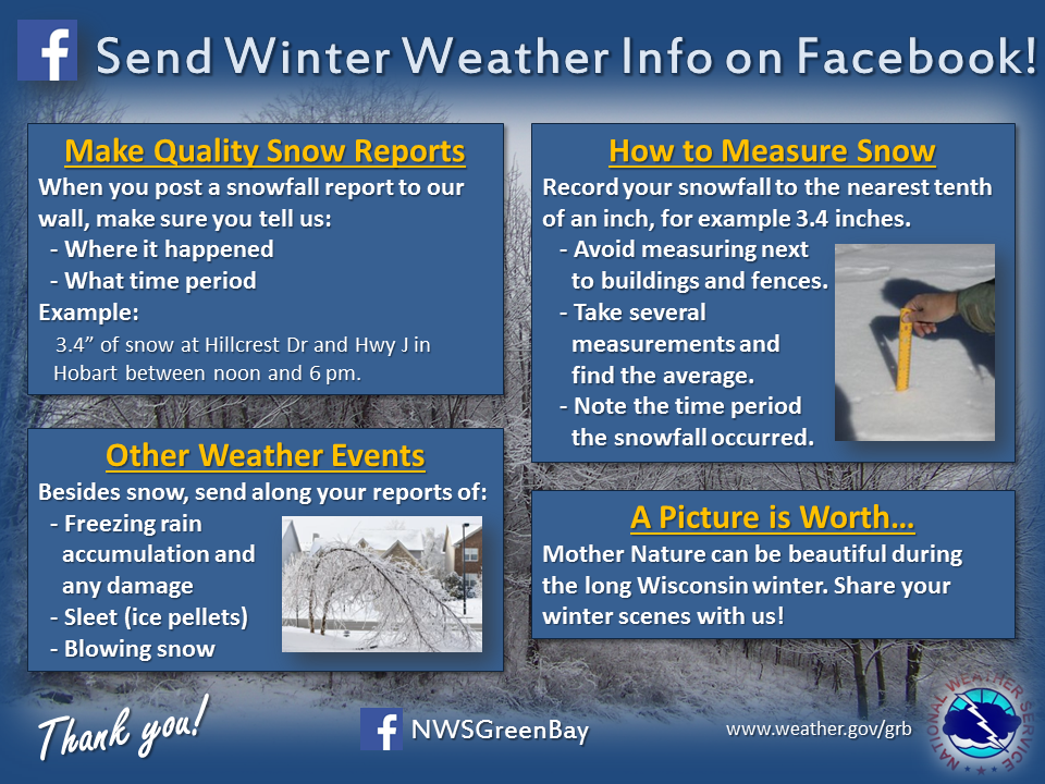
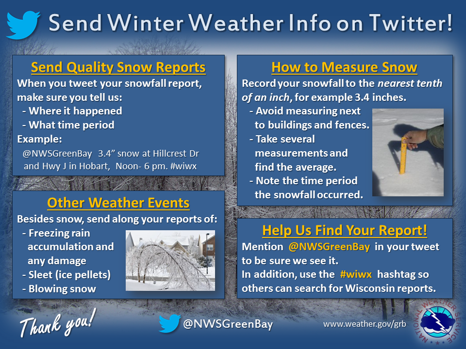
Latest Snowfall Reports |
For more snow and ice reports, please click HERE:
For the latest Wisconsin road conditions, visit: |
|
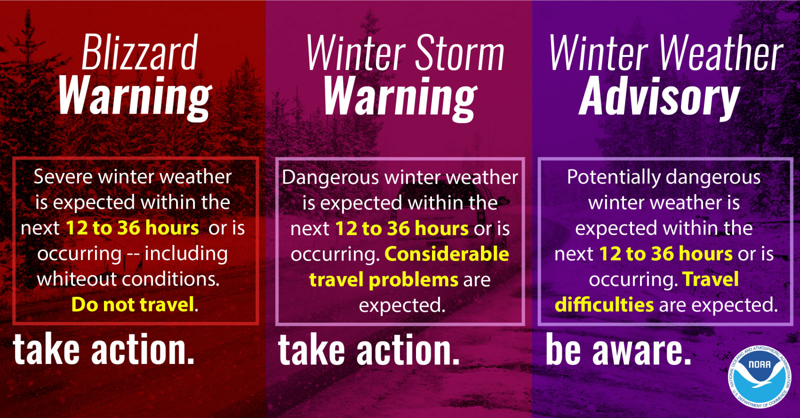
Weather Safety Information
| Winter Safety Info | ||
 |
 |
 |
 |
 |
 |
 |
Media use of NWS Web News Stories is encouraged! Please acknowledge the NWS as the source of any news information accessed from this site. |
|