Snow Ending across Central WI, as Light to Moderate Snow Continues Across the East
|
What to Expect: Moderate snow will continue to fall across the region before gradually diminishing and ending early this evening from west to east.
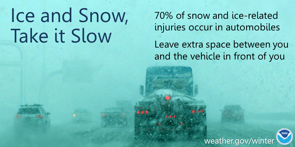
Anticipate dangerous travel conditions throughout the evening and overnight as snow covered and slippery roads are expected. Road crews will have difficulty keeping up with the intense snowfall rates. Monitor road conditions by visiting the Wisconsin DOT site: http://511wi.gov
Actions: Remember to slow down, keep extra distance between vehicles, and allow extra time to reach your destination.
See tabs below for more information. Click on any image for a larger view. |
Snowfall Forecasts
|
Latest Snowfall Forecast (please note valid times on graphic) |
https://www.weather.gov/grb/winter
|
Radar
 |
|
Snow / Road Reports
|
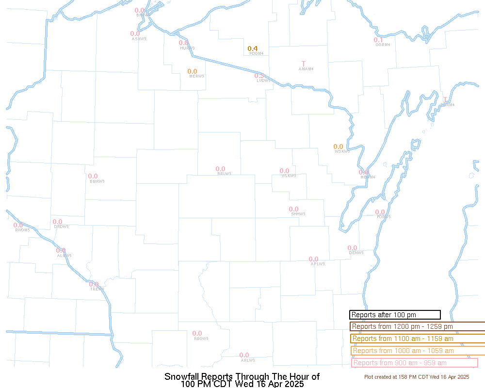
Latest Snowfall Reports |
For the latest Wisconsin road conditions, visit: |
|
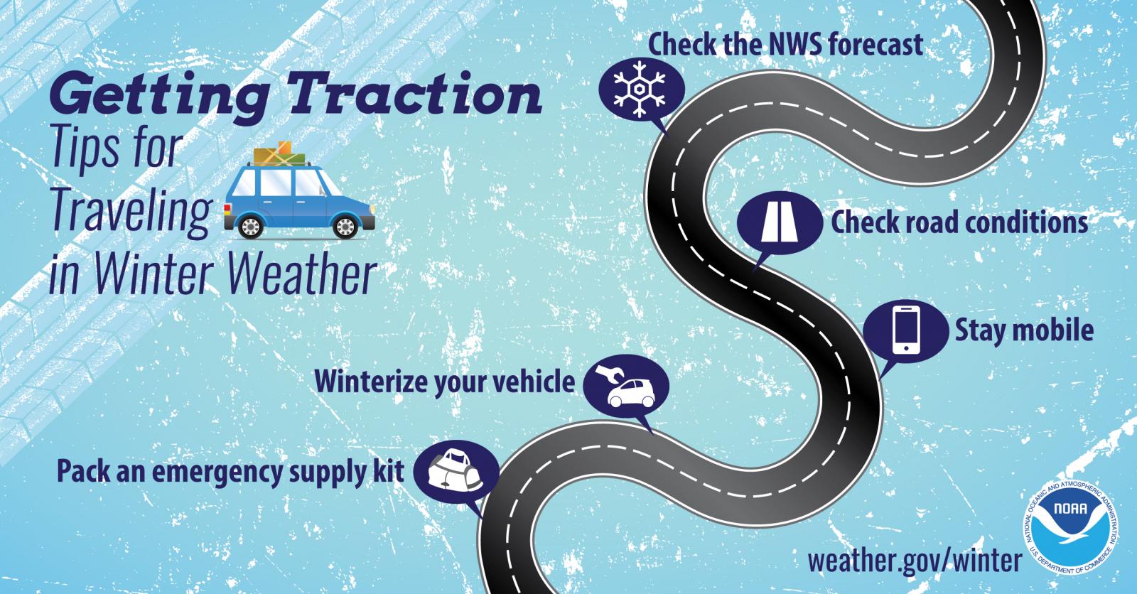
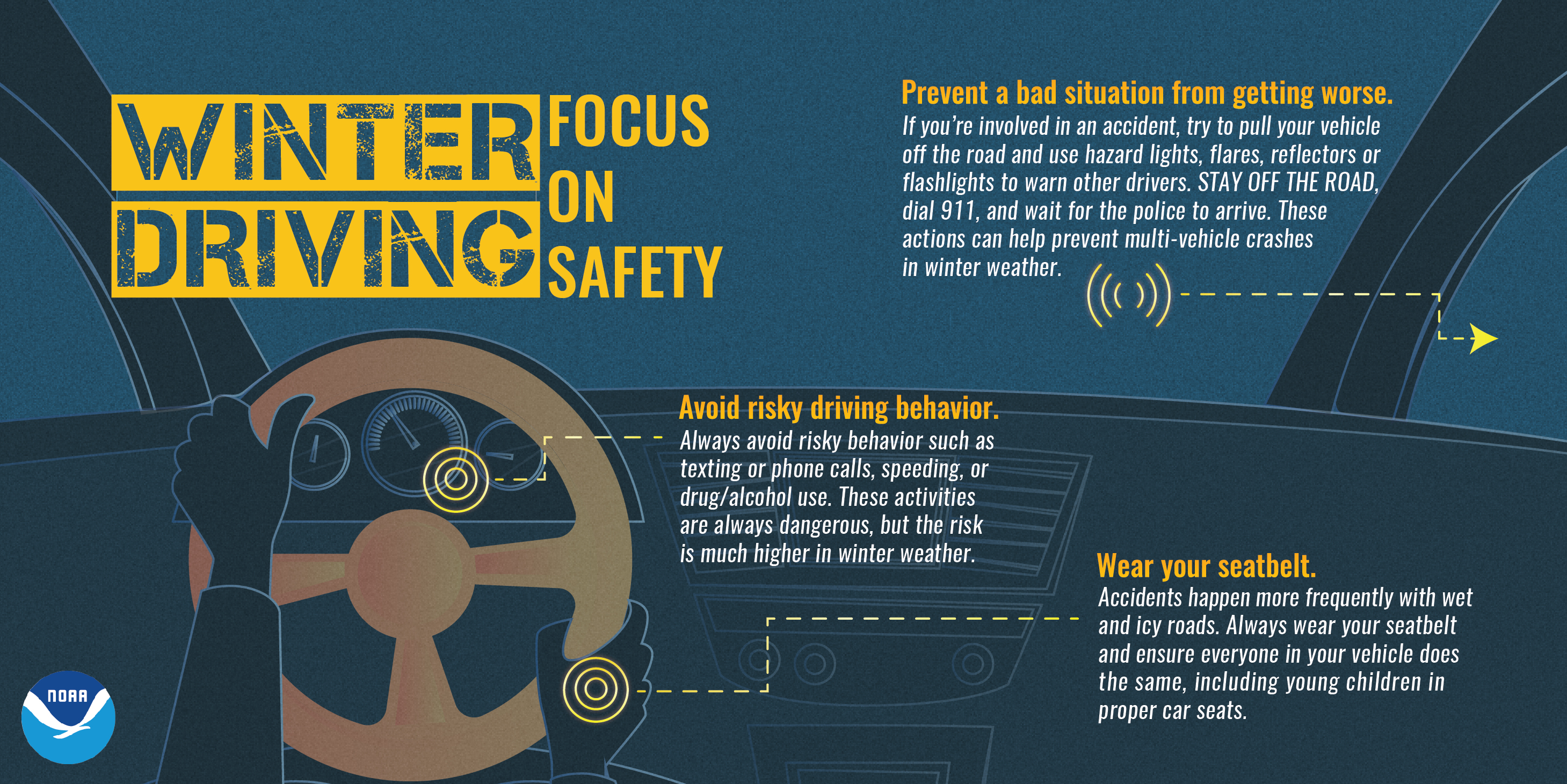
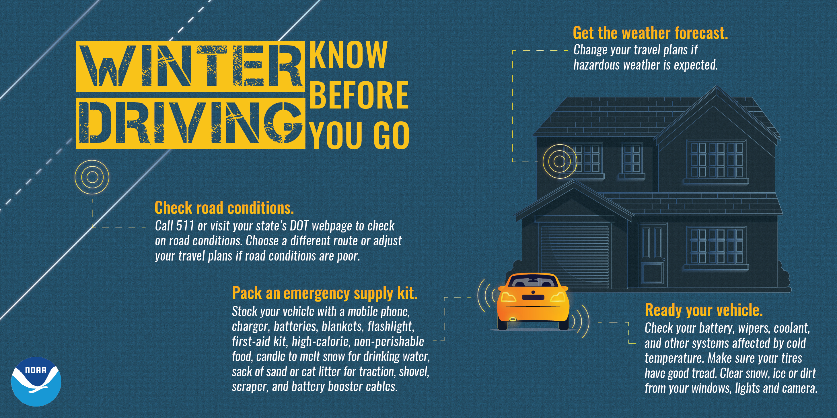
Weather Safety Information
| Winter Safety Info | ||
 |
 |
.png) |
|
|
|
|
 |
Media use of NWS Web News Stories is encouraged! Please acknowledge the NWS as the source of any news information accessed from this site. |
|


.jpg)