Snow and Wind to Impact Travel on Monday
|
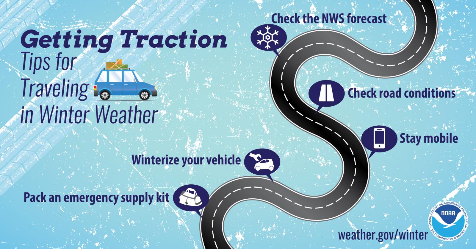
When: Light snow continues this afternoon. The snow gradually ends from west to east through early this evening, except across the far north where lake effect snow showers continue into Tuesday. What/Where: Fairly light snow will continue to fall across the region with most areas across central Wisconsin receiving an additional inch or less. Areas along eastern Wisconsin, the lakeshore, and the Fox Valley may still see another 1 to 3 inches as this system exits west to east. Winds will continue to pose a concern into the evening hours. Blowing and drifting snow will create hazardous road conditions and near white-out conditions possible across the Fox Valley and lakeshore through tonight. More arctic air arrives Tuesday and continues for the rest of the work week. The most intense cold is expected Tuesday night into Thursday where wind chill readings of 35 below to 55 below zero are anticipated Wednesday and Thursday mornings. Impacts: Difficult travel due to heavy snow and poor visibility. Roads, bridges, and sidewalks will be snow covered and slippery, especially for the evening commute. Blowing and drifting snow will further lower visibility and complicate the clearing of roads and lower the effectiveness of road treatments. Actions: Remember to slow down, keep extra distance between vehicles, and allow extra time to reach your destination. Make sure you carry a winter survival kit in case you get stranded. See tabs below for more information. Click on any image for a larger view. |
Additional Snowfall Forecast

|
|
|
|
|
|
Radar
The Green Bay NWS radar is temporarily unavailable. Please refer to regional maps and/or surrounding radars.
 |
|
Snow / Road Reports
|
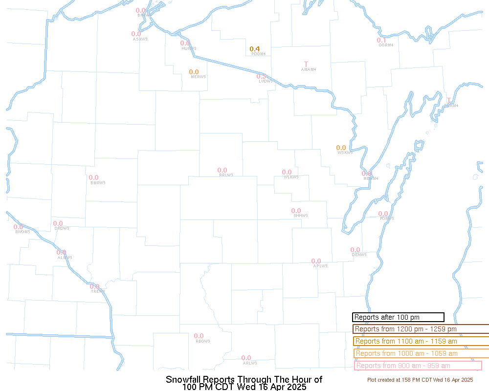
Latest Snowfall Reports |
For the latest Wisconsin road conditions, visit: |
|
Weather Safety Information
| Winter Safety Info | ||
 |
 |
.png) |
|
|
|
|
 |
Media use of NWS Web News Stories is encouraged! Please acknowledge the NWS as the source of any news information accessed from this site. |
|