DIFFICULT TRAVEL CONDITIONS CONTINUE OVERNIGHT
|
When: Overnight into Monday morning.
Weather: Winds will still gust to 30 to 40 mph through the evening, then slowly diminish overnight. While new snowfall has ended, blowing and drifting snow combined with slippery roads are still expected to create difficult travel conditions through much of the night. The other focus will be on temperatures as reading fall quickly after midnight.
Wind and Wind Chills: Winds will gradually subside to 10 to 20 mph after midnight. However, as temperatures fall below zero, wind chills of -15 to -30 are expected by Monday morning. Wind chills this low can cause frost bite in as little as 30 minutes. Remember to dress in layers, limit time outdoors, and bring pets indoors.
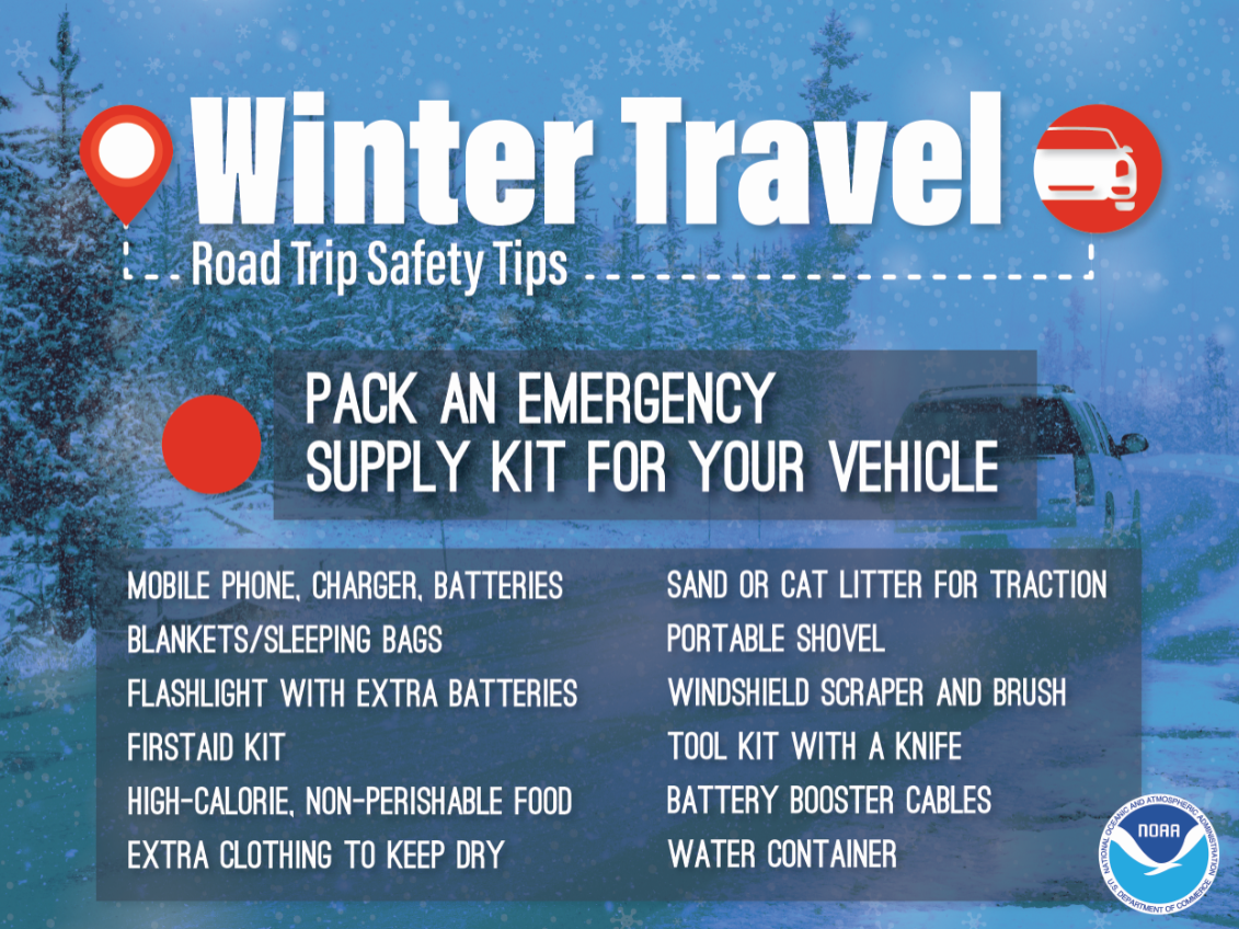
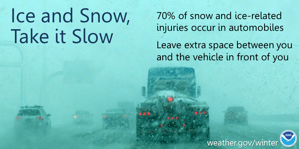
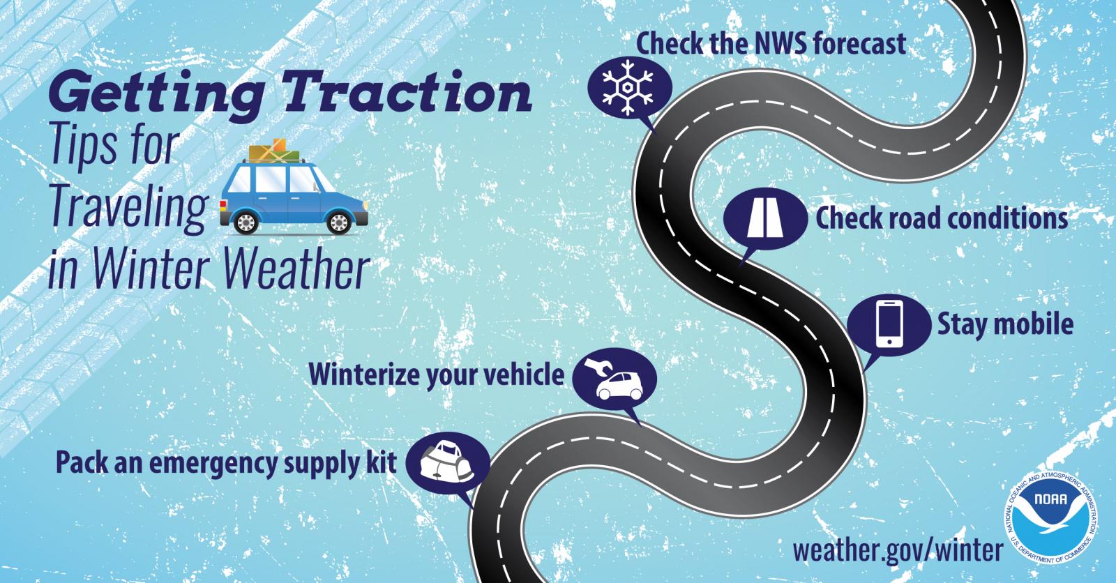
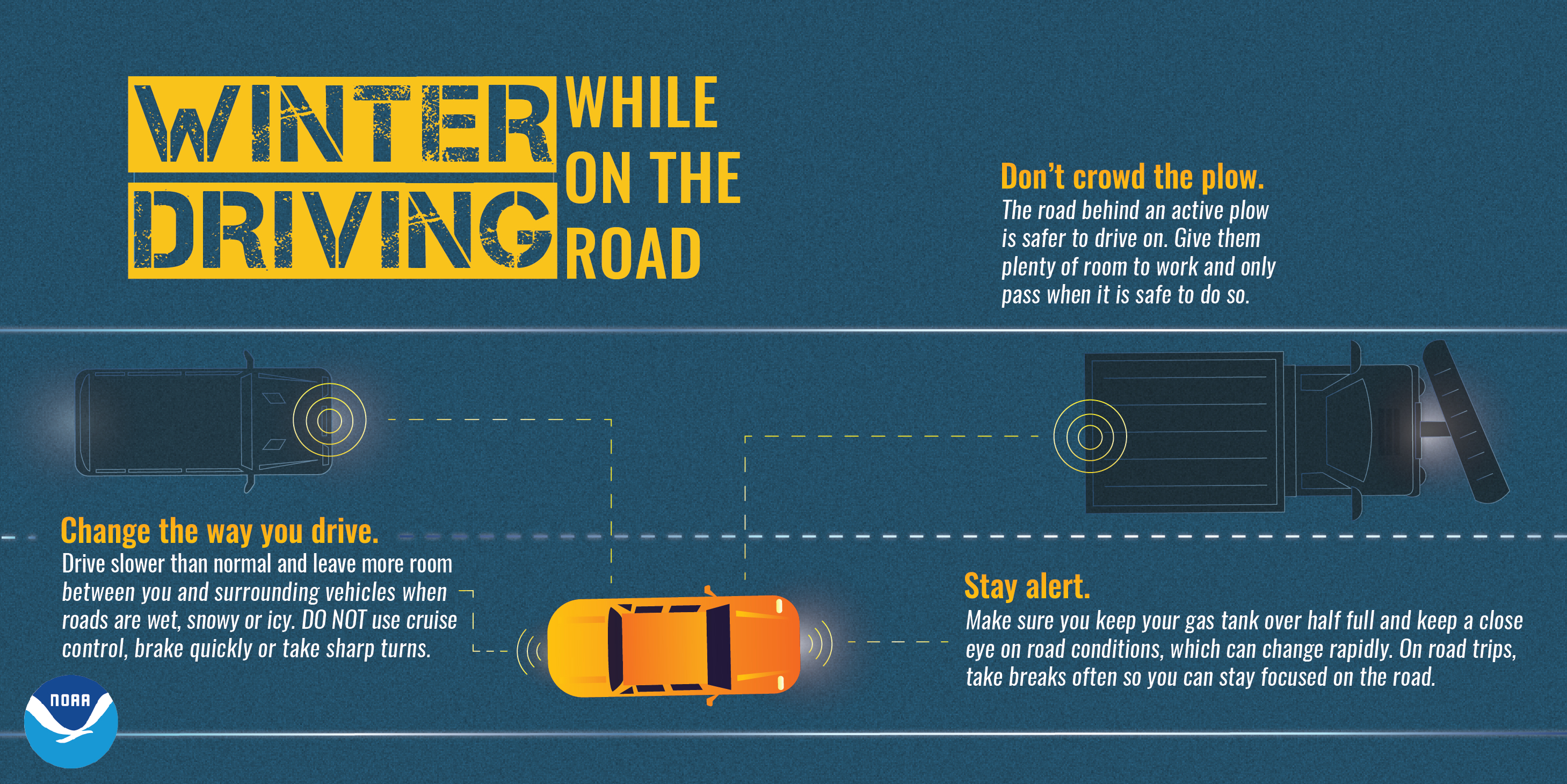
Impacts: Blowing and drifting snow along with snow or ice-covered roads will continue to create difficult travel conditions overnight. Some power outages will persist in affected areas. Actions: Remember to slow down, keep extra distance between vehicles, and allow extra time to reach your destination. Before driving, clear off all windows, headlights, taillights, and license plates. While driving, turn on your headlights so other drivers can see you.
See tabs below for more information. Click on any image for a larger view. |
Snowfall Forecasts
|
Under 1" of additional accumulation is expected. |
|
Radar
 |
|
Snow / Road Reports
|
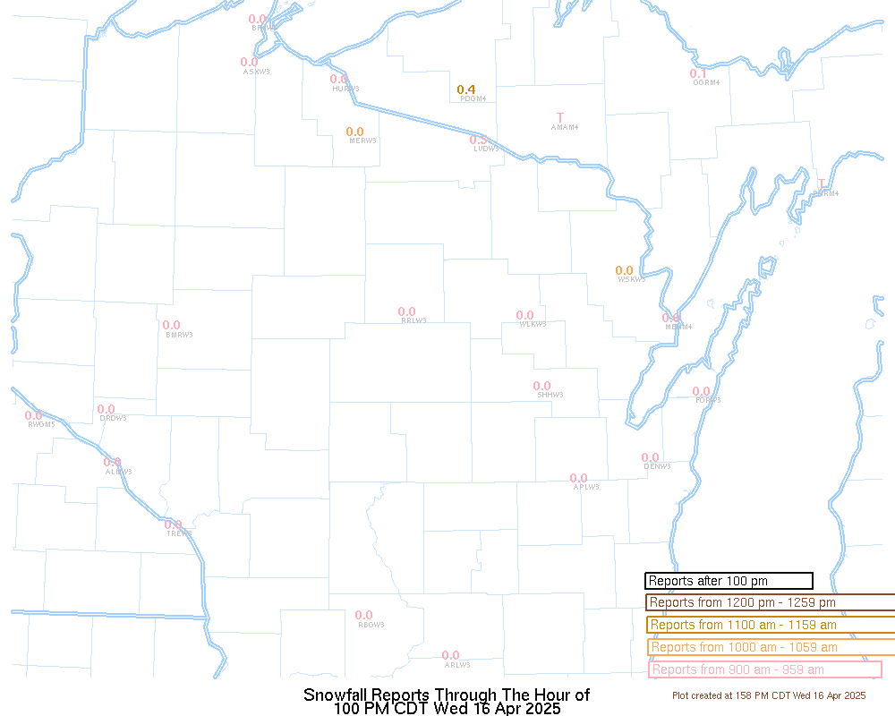
Latest Snowfall Reports |
For the latest Wisconsin road conditions, visit: |
|
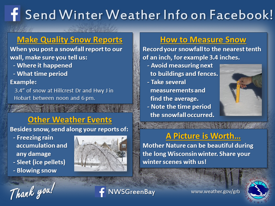
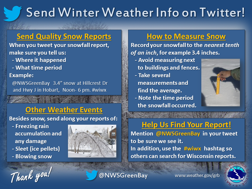
Weather Safety Information
| Winter Safety Info | ||
 |
 |
.png) |
 |
.png) |
|
 |
Media use of NWS Web News Stories is encouraged! Please acknowledge the NWS as the source of any news information accessed from this site. |
|