
July 2026 was on average, warmer, and a mix of wetter than, and drier than normal for Northern and Central Nevada, with Eureka and Winnemucca seeing above normal precipitation for July. As is normal for July, no snow was observed for our snow climate sites. July climate data for select locations below as highlighted in the graphic.
Elko: July 2026 was warmer than normal with an average temperature of 76.9 degrees, which was 5.0 degrees above normal, making July 2026 the 3rd Warmest July on record. Elko received 0.29” of rain which was below average. The average for rainfall is 0.36”.
Ely: July 2026 was warmer than normal, with an average temperature of 72.6 degrees, which was 3.3 degrees above normal, making July 2026 the 1st Warmest July on record. Ely received a 0.27” of rain, which was below average. The average for rainfall is 0.63”.
Eureka: July 2026 was warmer than normal, with an average temperature of 72.8 degrees, which is 2.8 degrees above normal, making July 2026 the 8th Warmest July on record. Eureka received 1.48” of rain which was above average, making July 2026 tied for the 4th wettest July on record. The average rainfall is 0.58”.
Tonopah: July 2026 was warmer than normal, with an average temperature of 77.6 degrees, which was 1.9 degrees above normal. Tonopah received 0.03” of rain, which was below average. The average rainfall is 0.50”.
Winnemucca: July 2026 was warmer than normal, with an average temperature of 75.9 degrees, which was 1.4 degrees above normal. Winnemucca received a 0.31” of rain which was above average,. The average for rainfall is 0.16”.


 Social Media - Click to view more
 Elko Radar
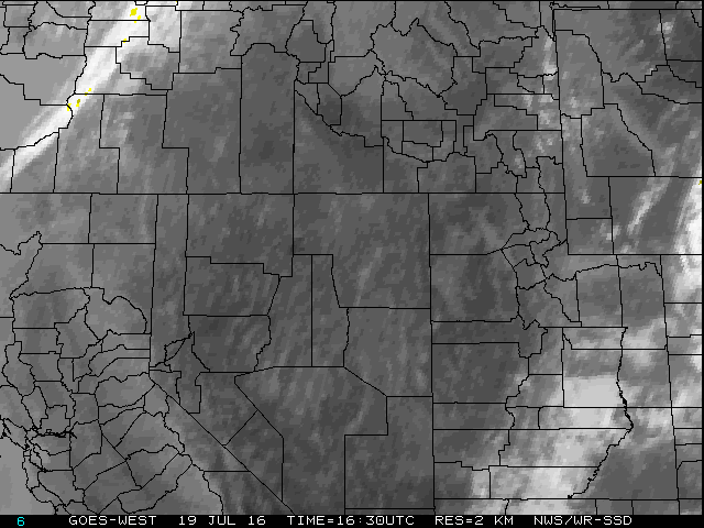 Regional Infrared Satellite Image
 National Weather Map - Click to enlarge
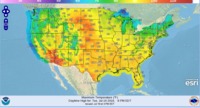 Gridded Forecast Image
 Forecast Weather Tables
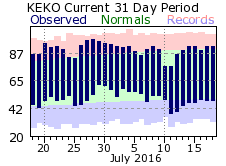 Recent LKN Temperatures
 Satellite-GOES
 Winter Weather
 Weather Stats