
Dangerous heat will expand from the Gulf Coast into the Southern Plains and Desert Southwest through week's end. Additional extreme heat impacting the Pacific Northwest will shift to the northern Plains by the weekend. Tropical Storm Bertha is expected to continue to impact portions of the northern Gulf Coast from the western Florida Panhandle to southeastern Louisiana through tonight. Read More >
|
Another Quick Shot of Snow |
 |
|
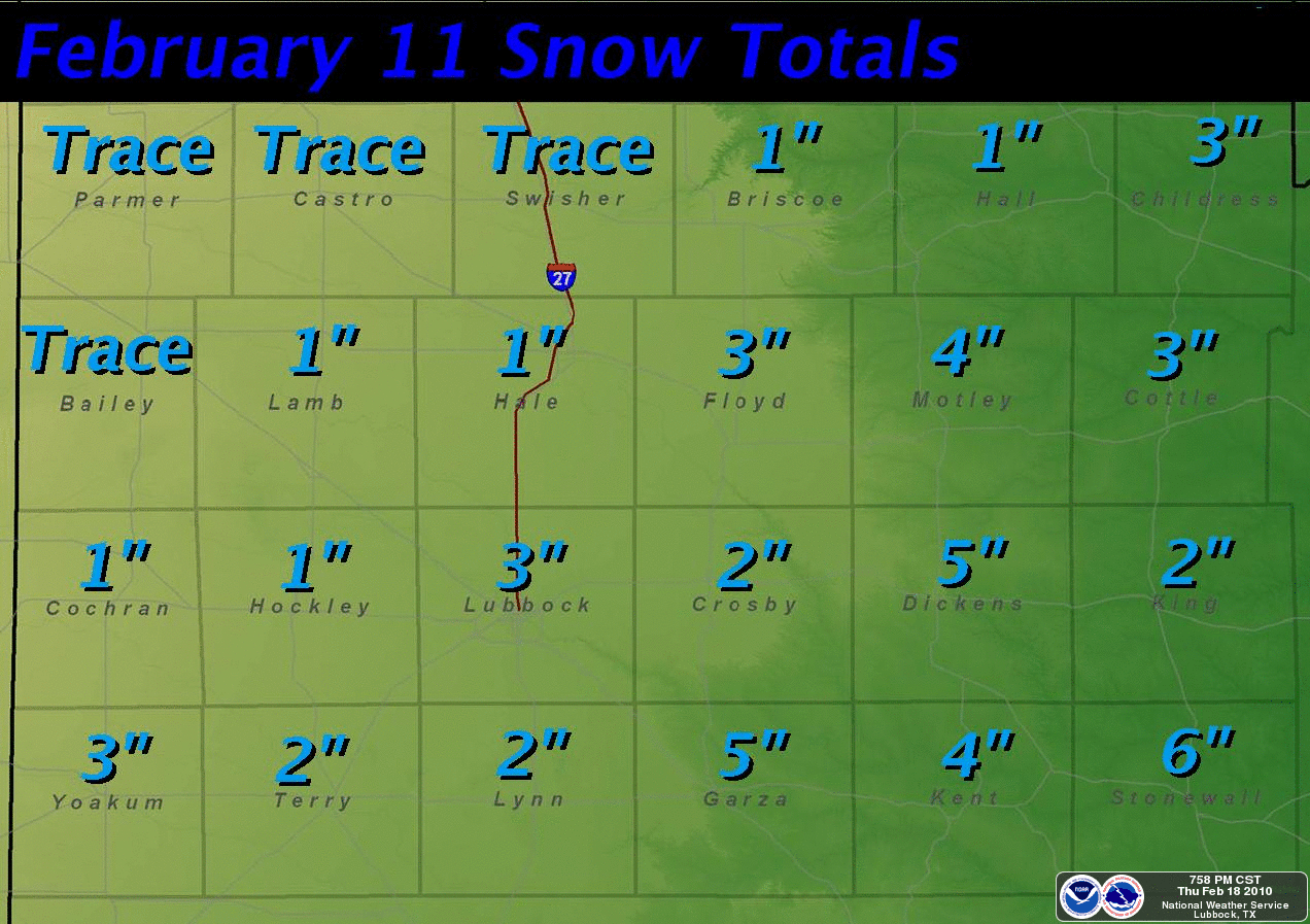
Graphic displaying the amount of snow that fell on February 11th. Amounts are in inches. Click on the image for a larger view. |
|
To view the public information statement issued regarding this snow event CLICK HERE. |
 |
|
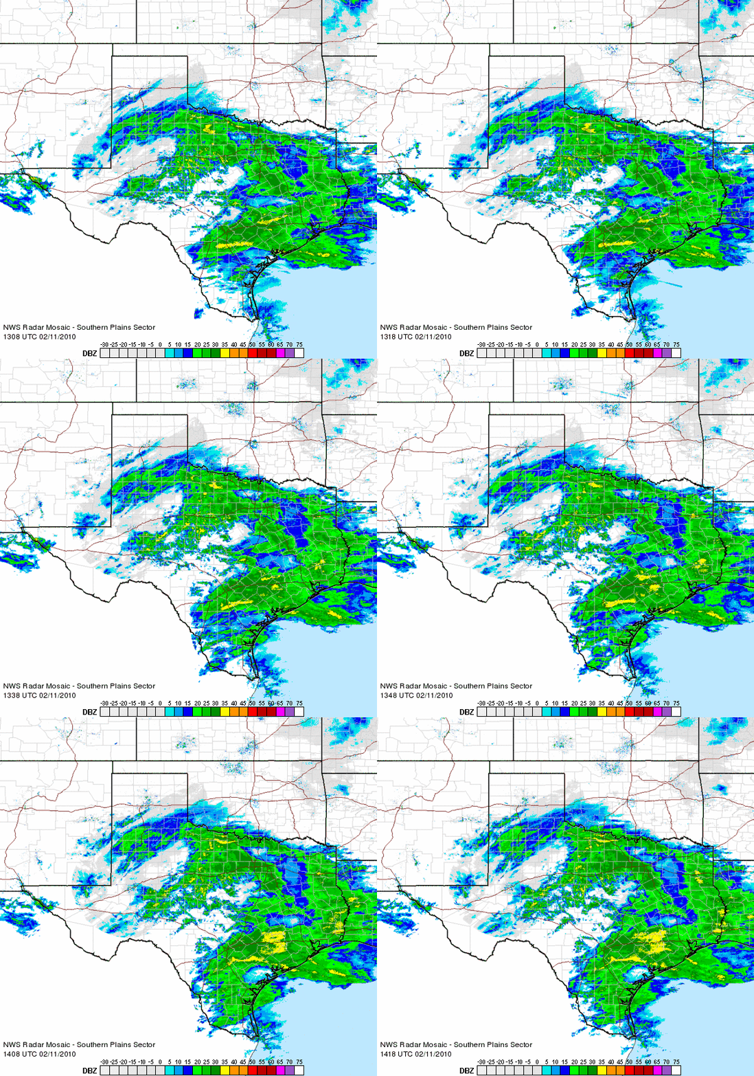
Radar loop between 7:08 am and 8:18 am CST on February 11, 2010. The band of precipitation across the South Plain and Rolling Plains and into North Texas is snow. |
|
Below are a few images taken around the Lubbock area as the snow fell on the 11th. |
 |
|
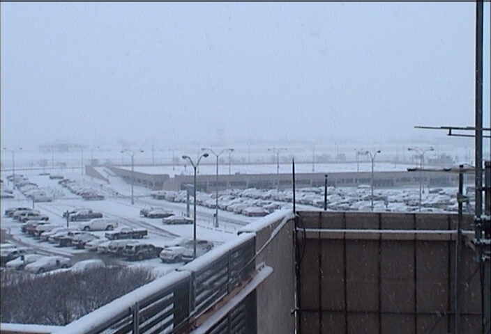
Image of snow falling at the Lubbock Airport during the early morning hours of February 11, 2010. Click on the image for a larger view. |
 |
|
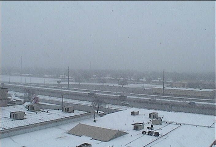
Very large snowflakes falling at the Science Spectrum (southern Lubbock) during the early afternoon of February 11, 2010. Click on the image for a larger view. |
|
|
|
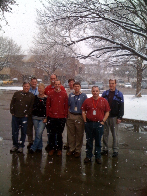
Picture of some of the WFO Lubbock crew taking a brief break to enjoy the snow during the early afternoon of February 11, 2010. Click on the image for a larger view. |
|
|



 Follow us on X
 Follow us on Facebook
 Follow us on YouTube
 LUB RSS Feed


