
Heat will build over the Intermountain West and the Southwest the next couple of days. Lightning from dry thunderstorms can create new fire starts and combined with gusty winds may cause a fire to rapidly grow in Oregon and northern California. Flash flooding will be possible in New Mexico and west Texas today, as well as parts of the southern and central Plains due to slow moving thunderstorms. Read More >
Last Map Update: Mon, Jun 30, 2025 at 3:04:36 pm PDT
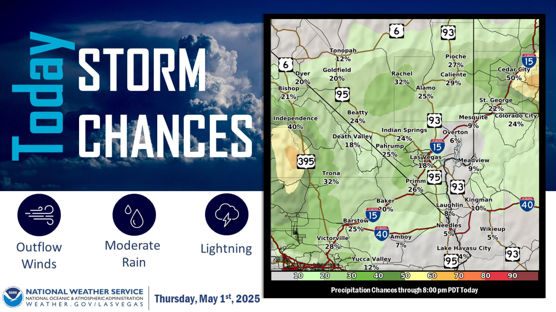





 nowCOAST Real-Time Observations & Forecasts
 Graphical Forecast
 Satellite
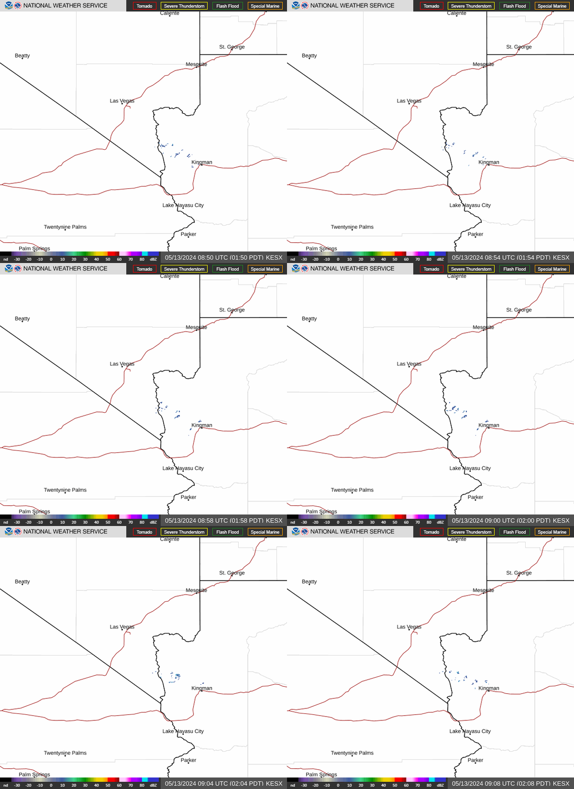 Las Vegas Radar
 Edwards Radar
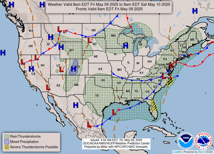 Surface Weather Map
 Social Media
 Las Vegas Daily Climate
 Follow us on X
 Follow us on Facebook
 Follow us on YouTube
 VEF RSS Feed