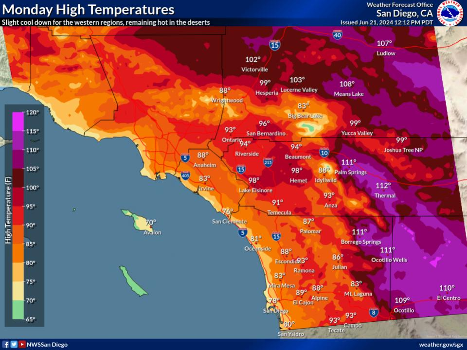
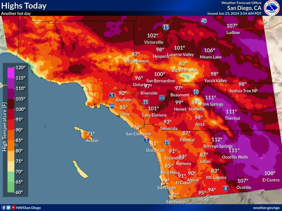
Above average temperatures are expected to return to the region by mid-to-late next week. Moderate HeatRisk will likely make a return for most inland areas.
Above average temperatures are expected to return to the region by mid-to-late next week. Moderate HeatRisk will likely make a return for most inland areas.


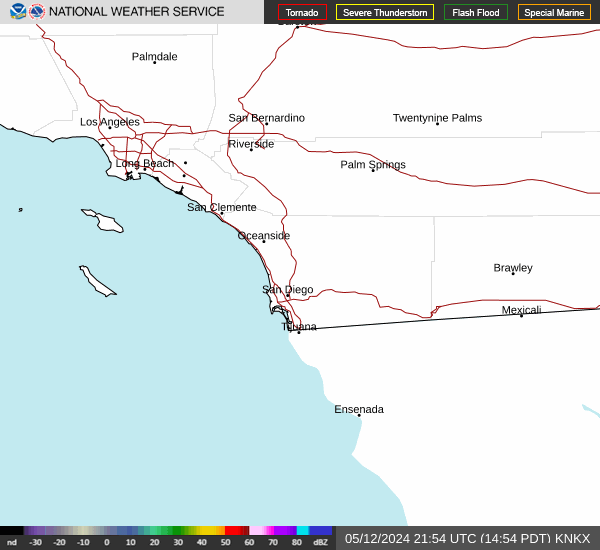 San Diego Radar
 Santa Ana Radar
 Satellite
 Weather Stats