San Diego, CA
Weather Forecast Office
 |
Current Conditions |  |
Airmets, Obs & Pireps |  |
|
TAFs, FAs & Discussions | |
|
Forecast Charts | |
|
Additional WX Info | |
| Quick Look Western US Radar/Satellite | Zoomed Radar and Satellite |
 IR | VIS | WV | RADAR Flight Category move mouse over links to change image |
Close-up Radar/Satellite:
|
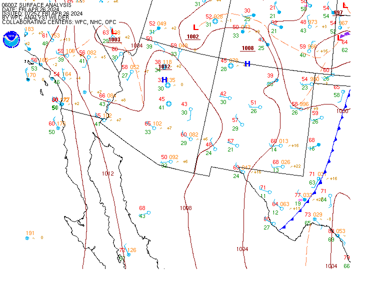
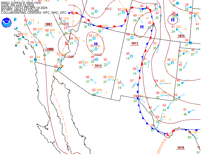
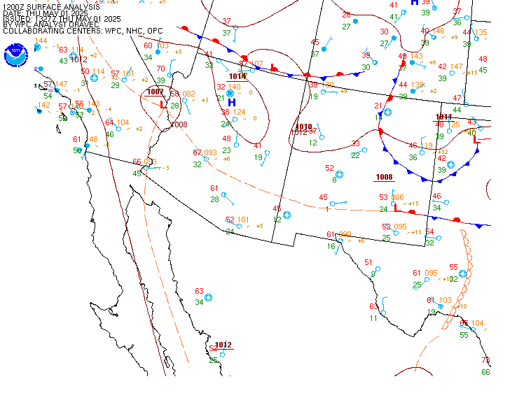
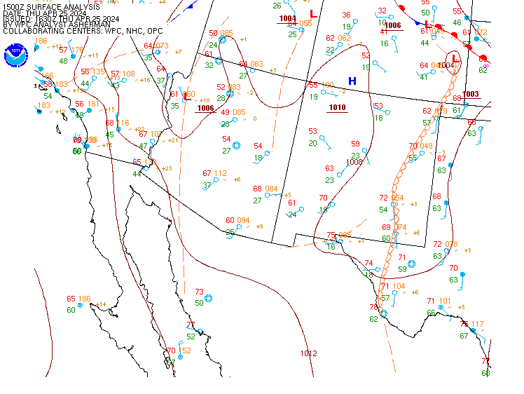
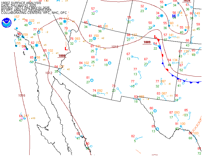
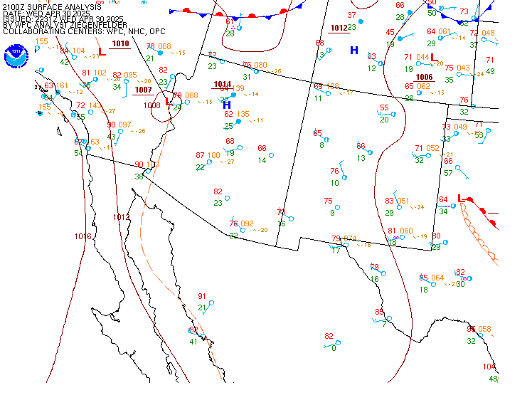
| Current and Recent Surface Analyses |
| For local time: Subtract 8 hrs for PST(12Z would be 4 AM PST) Subtract 7 hrs for PDT (18Z would be 11 am PDT) | 00Z | 03Z | 06Z | 09Z | 12Z | 15Z | 18Z | 21Z | Other Plots Click hour to enlarge, or move mouse over links to change images 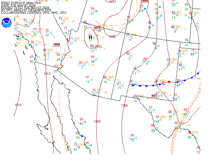 |
US Dept of Commerce
National Oceanic and Atmospheric Administration
National Weather Service
San Diego, CA
11440 W. Bernardo Court, Suite 230
SAN DIEGO, CA 92127
(858)-675-8700
Comments? Questions? Please Contact Us.

