Northern Indiana
Weather Forecast Office
Blackford County
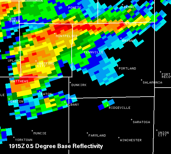
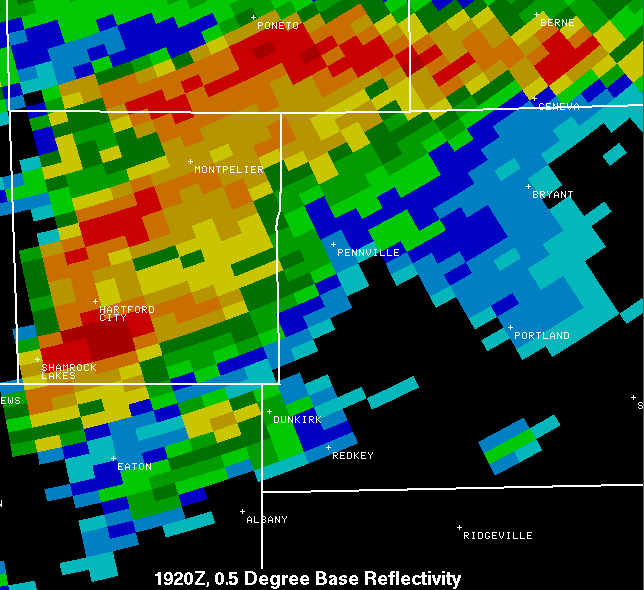
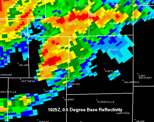
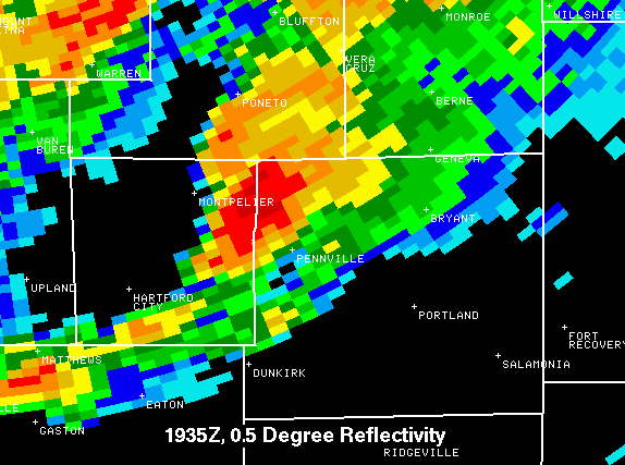
Reflectivity
The oranges and reds signify heavy rainfall and possible hail.
In the first picture below, the storm is entering southern Blackford County. It then proceeded northeast across the county, without ever displaying any apparent reflectivity signatures that would suggest a tornado.
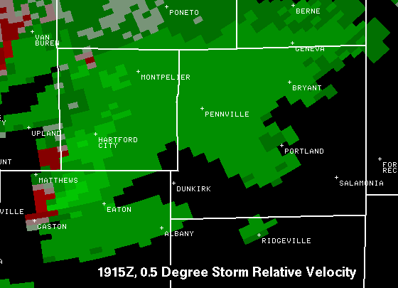
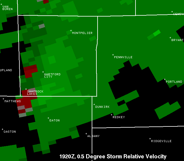
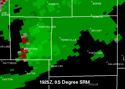
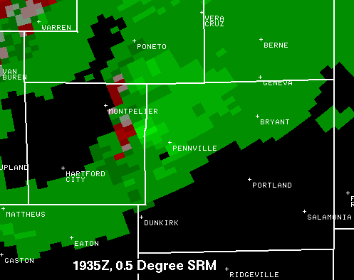
Velocity
The reds depict air moving away from the radar, the greens depict air moving toward the radar (in these pictures, the radar is to the upper left, out of the picture). Reds and greens right next to each other suggest circulation, since there are air currents flowing in opposite directions in close proximity to each other.
In the first three pictures, there is some disorganized circulation moving over southwest and central Blackford County. In the last picture the circulation begins to get a bit better organized and slightly stronger.
On to Adams County...
Hazards
Heat Related
Winter Related
Watch/Warning
Outlook
Storm Reports
Storm Prediction Center
Submit a Report
Event Ready
Climate
FWA Daily
SBN Daily
FWA Monthly
SBN Monthly
CoCoRaHS
Spring Frost Climatology
Fall Frost Climatology
Severe Climatology
Local Information
Skywarn
COOP
Our Office
WSR-88D
Headline Criteria
NOAA Weather Radio
Weather History
Probabilistic Snowfall
Public Information Statement
Social Media Feeds
Weather Events Page
US Dept of Commerce
National Oceanic and Atmospheric Administration
National Weather Service
Northern Indiana
7506 E 850 N
Syracuse, IN 46567
574-834-1104
Comments? Questions? Please Contact Us.

