National Weather Service United States Department of Commerce

Prolonged, Intense Heat Wave; Excessive Rainfall in the Southern Rockies and Central Plains into the Upper Midwest

Extremely dangerous heat persists through Thursday with widespread daily temperature records. Monsoonal moisture continues to bring heavy rain and flash flooding to New Mexico and west Texas through Thursday, especially in the burn scar areas. Thunderstorms and heavy to excessive rain will continue to bring a flash flood threat from the Central Plains into the Upper Midwest. Read More >

Click a location below for detailed forecast.

Last Map Update: Tue, Jun 24, 2025 at 11:34:36 pm CDT
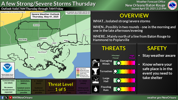
Elevated Heat Risk Tomorrow WHAT… Heat indices up to 107°F along the I-10/12 corridor and between 100 to 105°F elsewhere. WHERE… Southeast LA and south Mississippi, especially along the I-10/12 corridor in southeast Louisiana. WHEN… From 10AM through 7PM. IMPACTS… Extended periods outdoors could lead to heat-related illness. SAFETY… Drink plenty of water, take frequent breaks in the shade, wear lightweight clothing, never leave pets or people in vehicles, and check on vulnerable populations such as the elderly.


CoCoRaHS
CoCoRaHS - Click for more information
Submit
Storm Report

Submit a Storm Report

River Stages
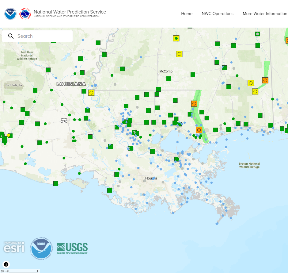
Latest River Stages


Quick Access to Text Products


 Current Weather Observations...
Location Time
(CDT)
Weather Vsby.
(SM)
Temp.
(ºF)
Dewpt.
(ºF)
Hum.
(%)
Wind
(mph)
Wind Chill / Heat Index
(ºF)
Pres.
(in)
Baton Rouge LA22:53Clear10787693NE 3-30.16
Biloxi MS23:10Mostly Cloudy10847574CALM92 [HI]30.15
Gulfport MS22:53Clear10807687CALM-30.17
Hammond LA23:15Partly Cloudy10767698CALM-30.18
Houma LA18:47Clear7847370ESE 8-30.12
McComb MS22:53Clear10747293CALM-30.19
New Orleans LA22:53Mostly Cloudy10837782SE 592 [HI]30.16
Slidell La22:53Clear10777593N 5-30.17