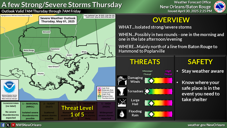
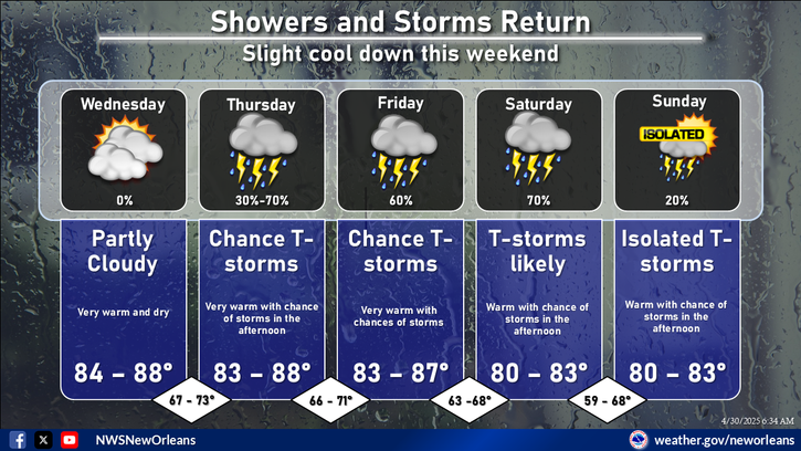
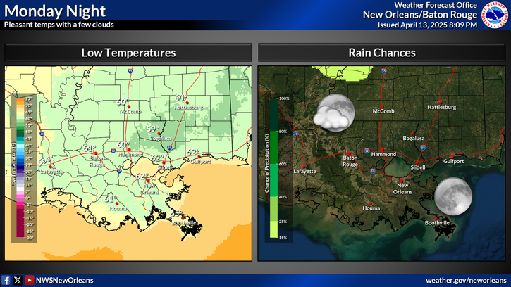
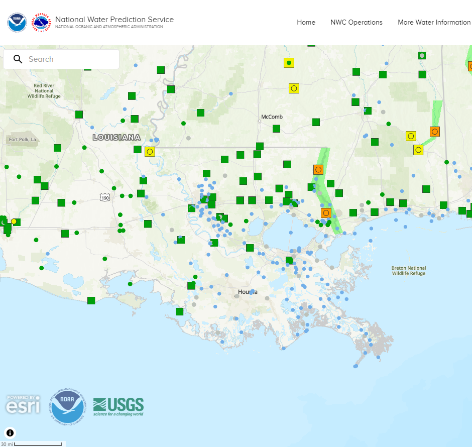
Easter Weekend Forecast: Few Rounds of Storms! Saturday afternoon and evening: Scattered afternoon pop-up storms develop. Best coverage central/western areas. Monitoring a complex or line of storms approaching from the northwest. Impacts from thunderstorms: Medium to high: Slow-moving storms resulting in areas of flash flooding. Few locally strong/isolated severe storms possible. Saturday night. A complex, or broken line of strong storms either weakens and/or departs to the east. Some lingering isolated thunderstorms will remain possible, but could see a lull in activity. Impacts: Medium: Numerous showers/storms expected. Flash flood risk continues overnight. Sunday is trending drier, however remains in low confidence. For now, best chances will be along the coast, but could see a primarily dry day for the I-10/12 corridor on north. Check back for more updates.


