National Weather Service United States Department of Commerce
Click a location below for detailed forecast.

Last Map Update: Thu, May 1, 2025 at 4:24:22 am CDT

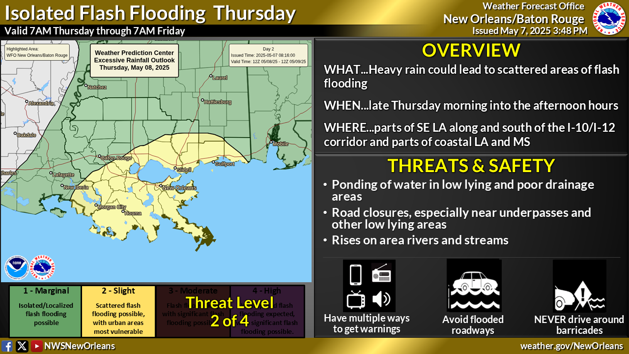
A line of storms is approaching the area early this morning, but should be weakening quickly as it moves southeast. A few of these storms could be strong to potentially severe. Development of new storms in a second round behind this line could occur Thursday afternoon, mainly along and north of the I-12 corridor. A few of these storms that develop could be strong to severe with damaging winds and locally heavy rainfall.


CoCoRaHS
CoCoRaHS - Click for more information
Submit
Storm Report

Submit a Storm Report

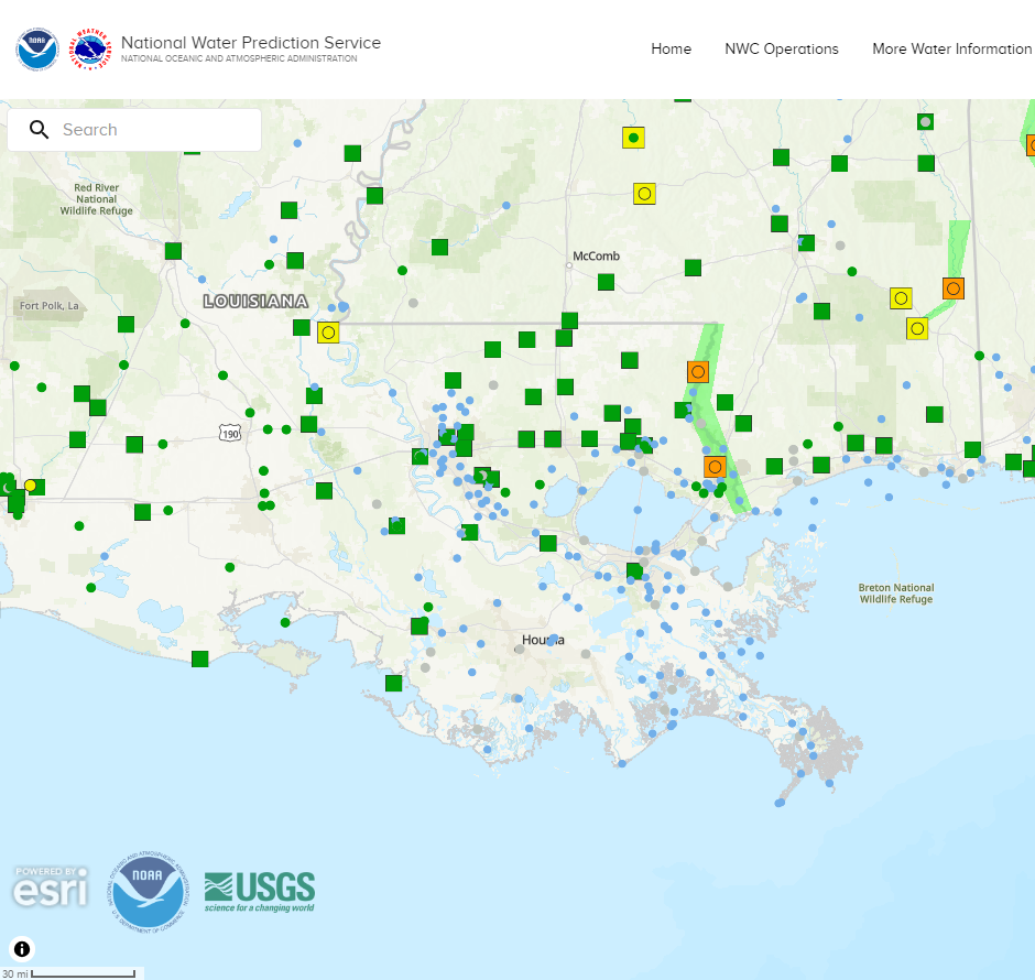
River Stages
Latest River Stages


Quick Access to Text Products


 Current Weather Observations...
Location Time
(CDT)
Weather Vsby.
(SM)
Temp.
(ºF)
Dewpt.
(ºF)
Hum.
(%)
Wind
(mph)
Wind Chill / Heat Index
(ºF)
Pres.
(in)
Baton Rouge LA03:53Clear9696896CALM-30.00
Biloxi MS03:55Lightning Observed10766772S 6-29.99
Gulfport MS03:53Lightning Observed10766979SSE 6-30.00
Hammond LA04:15Lightning Observed106969100CALM-30.00
Houma LA04:15Partly Cloudy7706894NE 5-29.99
McComb MS03:53Mist6686796CALM-29.98
New Orleans LA03:53Mostly Cloudy10757290ESE 3-29.98
Slidell La03:53Partly Cloudy10717096CALM-30.00