National Weather Service United States Department of Commerce

Severe Thunderstorms and Flash Flooding for the Central U.S. through Tuesday; Dangerous East Coast Beach Conditions

Thunderstorms ahead of an approaching cold front will impact much of the Central U.S. through Tuesday. Severe thunderstorms and flash flooding are forecast for portions of the central/southern Plains and the Mississippi, Ohio, and Tennessee Valleys. Meanwhile, dangerous waves and rip currents will impact portions of the East Coast as tropical activity increases in the Atlantic. Read More >

Click a location below for detailed forecast.

Last Map Update: Mon, Sep 22, 2025 at 6:18:10 pm CDT

There are no watches, warnings, or advisories at this time.

Warm to start the week, then cooler with higher rain chances as a cold front moves through. Highs will climb into the upper 80s and lower 90s through Wednesday, but will dip into the mid 80s on Thursday and Friday. Heat index readings will climb into the upper 90s and lower 100s through Wednesday before the front moves through. Today and tomorrow will see widely scattered shower and storms, but coverage will turn more numerous on Wednesday and Thursday as the front moves through. A drier and sunnier day is expected on Friday after the front pushes offshore.


CoCoRaHS
CoCoRaHS - Click for more information
Submit
Storm Report

Submit a Storm Report

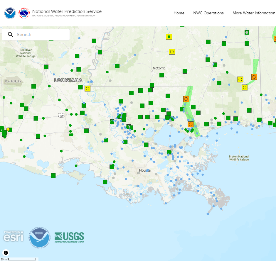
River Stages
Latest River Stages


Quick Access to Text Products


 Current Weather Observations...
Location Time
(CDT)
Weather Vsby.
(SM)
Temp.
(ºF)
Dewpt.
(ºF)
Hum.
(%)
Wind
(mph)
Wind Chill / Heat Index
(ºF)
Pres.
(in)
Baton Rouge LA17:53Clear10827271SE 6-29.92
Biloxi MS17:55Clear10867160S 1091 [HI]29.91
Gulfport MS17:53Clear10857265SSE 1291 [HI]29.93
Hammond LA17:55Clear10777592CALM-29.93
Houma LA17:47Partly Cloudy7827374SSE 5-29.93
McComb MS17:53Partly Cloudy10826862SSW 10-29.93
New Orleans LA17:53Mostly Cloudy8827784SE 10-29.92
Slidell La17:53Clear10846552ESE 5-29.91